espana.net
 Zarateman, CC0
Basque Country
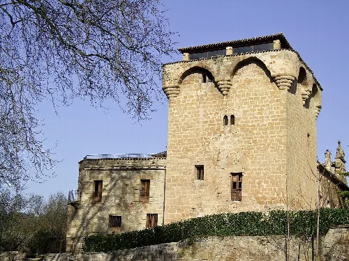
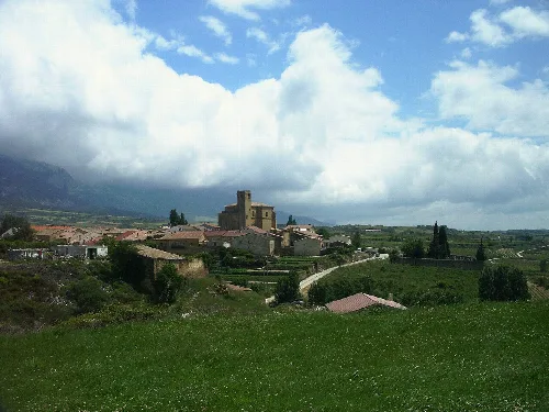
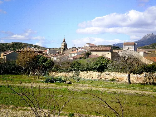
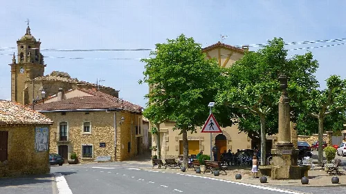
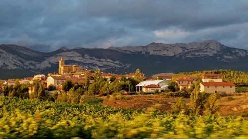
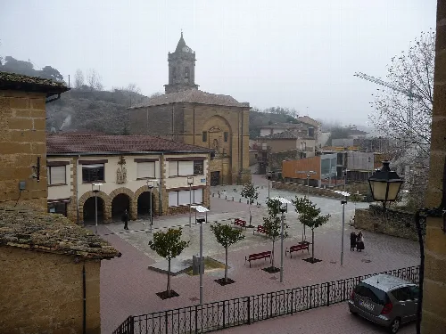
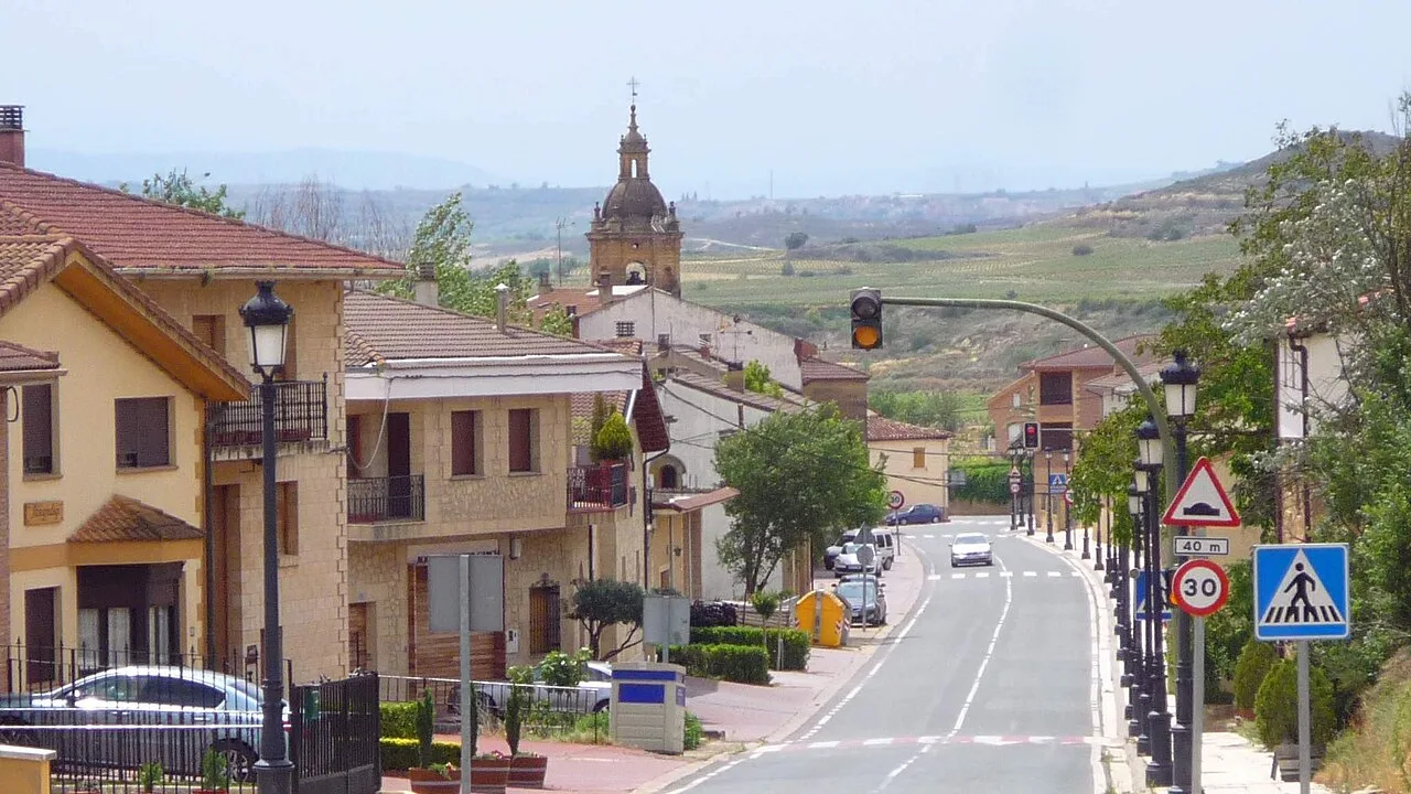
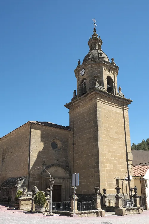
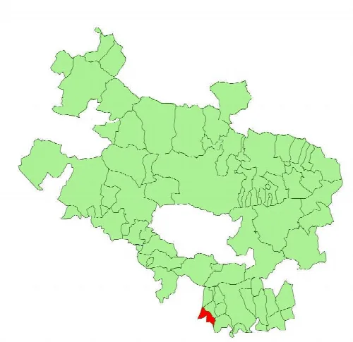
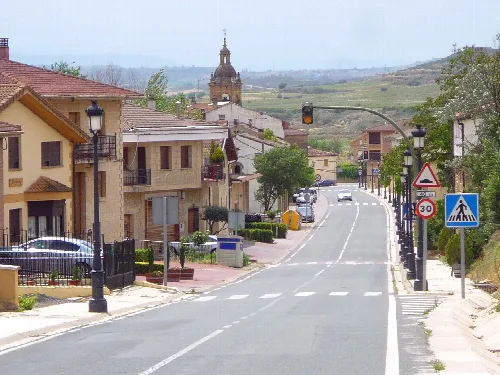
Baños de Ebro, also known as Mañueta in Basque, is a municipality located in the province of Álava, within the Basque Country. Characterized by its agricultural landscape and historical significance, it lies along the banks of the Ebro River.
Baños de Ebro is situated in southern Álava, within the Rioja Alavesa wine region. The municipality covers an area of 9.46 km² and is positioned at an elevation of 421 meters. It is bordered by several municipalities, including Samaniego and Villabuena de Álava to the north, Elciego to the east, and the river Ebro to the south, which separates it from Torremontalbo.
The area has a rich history, with archaeological findings indicating the presence of the berones, a Celtic people. Initially known as Baños de Navarra, the municipality became a villa in 1666. The name Baños de Ebro was adopted in the 18th century, reflecting its location along the river.
Discover Baños de Ebro, a historic municipality in Álava, Basque Country, known for its agricultural heritage and scenic landscapes.
Baños de Ebro is primarily an agricultural municipality, with around 80% of its population engaged in farming, particularly viticulture. The local economy is supported by fourteen registered wineries producing Rioja wine, although most of the grape production is sold to neighboring towns.
Own text, written with AI assistance from the facts in Wikipedia · Baños de Ebro/Mañueta · Data: Wikidata Q1382239 · Photos: Wikimedia Commons, see individual licenses. · CC BY-SA 4.0