espana.net
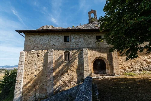
 Unai Fdz. de Betoño, CC BY-SA 3.0
Basque Country
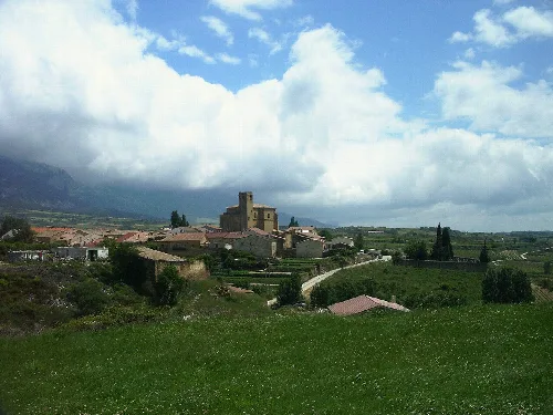
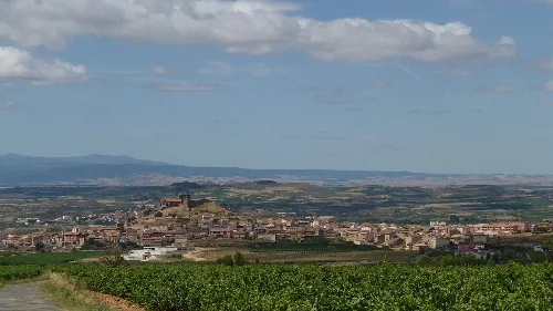
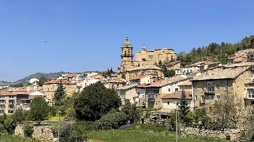
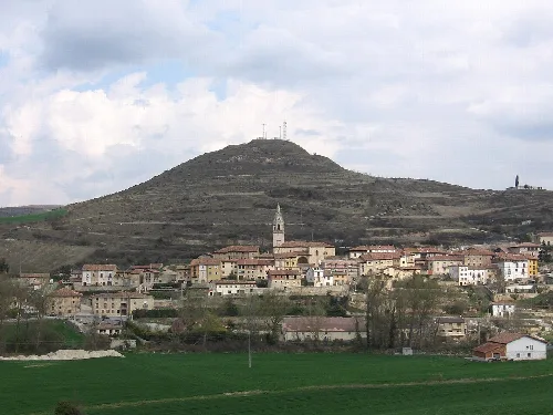
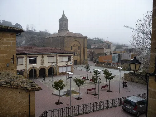
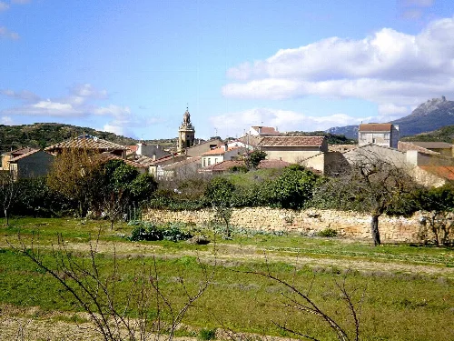
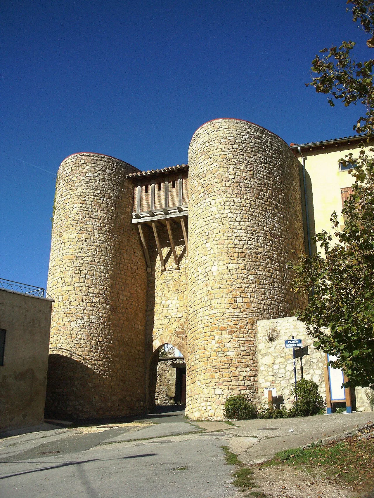
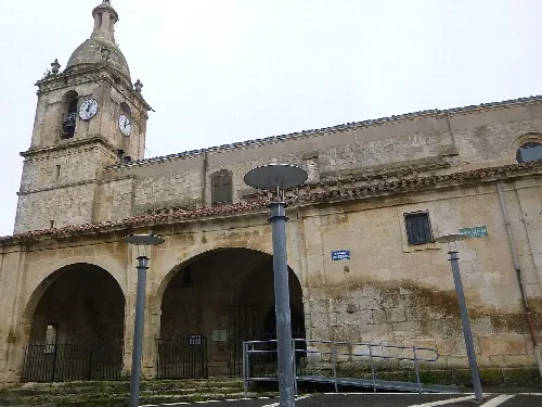
Peñacerrada-Urizaharra is a municipality located in the province of Álava, within the Basque Country of Spain. Characterized by its rich history and archaeological significance, it features several notable churches and natural landscapes.
The history of Peñacerrada-Urizaharra is marked by its early mentions in historical documents, such as the Reja de San Millán from 1025, which lists various Alava towns. Although Peñacerrada itself is not mentioned, surrounding villages are noted, indicating the area's significance in the 11th century.
Tradition holds that Peñacerrada was founded in the 8th century, with its original site located northeast of the current town. The municipality was officially recognized in 1295 and was later granted to Diego Gómez Sarmiento by King Enrique II of Castile in 1377.
Own text, written with AI assistance from the facts in Wikipedia · Peñacerrada-Urizaharra · Data: Wikidata Q1452675 · Photos: Wikimedia Commons, see individual licenses. · CC BY-SA 4.0