espana.net
 19Tarrestnom65, CC BY-SA 4.0
Castilla–La Mancha
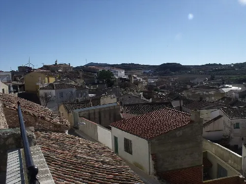
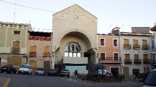
Fuente-Álamo is a municipality located in Albacete, within the autonomous community of Castilla–La Mancha, Spain. Known for its agricultural economy and rich history, it features notable archaeological sites and vibrant local festivals.
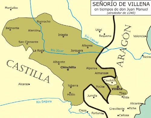
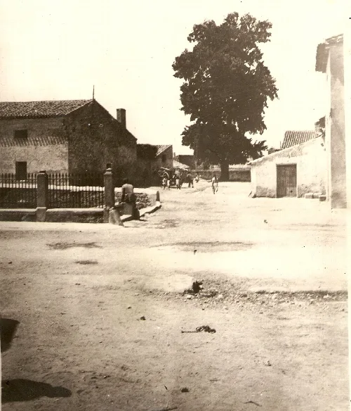
The history of Fuente-Álamo dates back to ancient times, with evidence of Neolithic, Celtiberian, and Roman settlements. The first written mention of the area appears in 1265, and it underwent various territorial changes, becoming part of the Province of Albacete in 1833. The town has evolved from a small village into a chartered town, with significant agricultural development in the 19th century.
Fuente-Álamo's economy is primarily agricultural, focusing on viticulture, olive growing, and livestock. The local cooperative, Cooperativa Vitivinícola San Dionisio, plays a significant role in the wine industry. Additionally, the town has seen growth in dairy, furniture, and shoe industries. Public services include a clinic and an indoor recreational center.
Explore Fuente-Álamo, a municipality in Albacete known for its agriculture, history, and vibrant festivals celebrating local traditions.
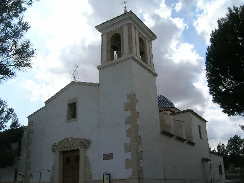
The cultural identity of Fuente-Álamo is reflected in its festivals and traditional cuisine. Celebrations such as the Patron Saint's Days and the Feast of Saint Mark highlight local customs. The town is also home to historic sites, including the neoclassical St. Dionysius the Areopagite's Church, which showcases architectural heritage.
Own text, written with AI assistance from the facts in Wikipedia · Fuente-Álamo · Data: Wikidata Q599774 · Photos: Wikimedia Commons, see individual licenses. · CC BY-SA 4.0