What can you tell me about the history of Bacares?
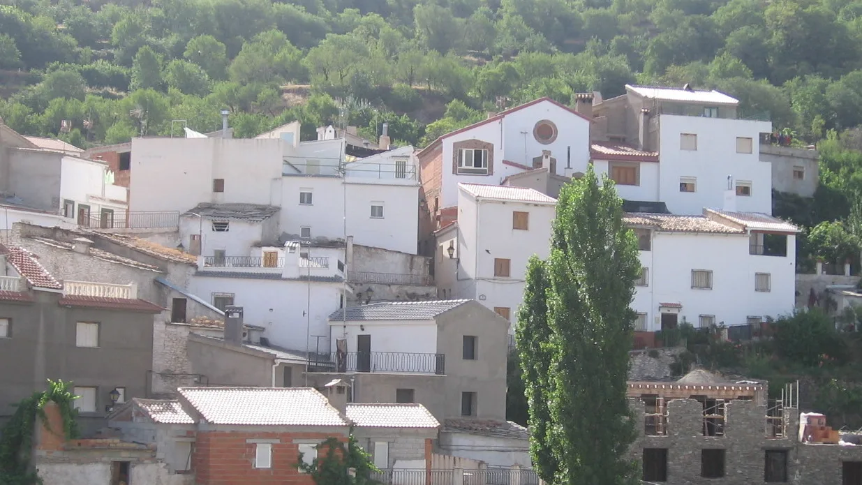
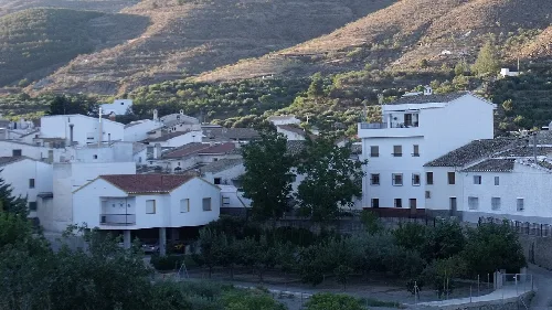
Bacares has a rich history, with origins possibly dating back to the Phoenicians due to its mining wealth. During the Muslim period, it was known for its iron production and was significant for the Kingdom of Granada. The town saw changes in governance after the Catholic Monarchs took control in 1489, and it faced depopulation in the 16th century due to the expulsion of Moriscos. Mining thrived again in the 20th century but declined by the late 1960s, leading to emigration.
History
What are some interesting natural features around Bacares?
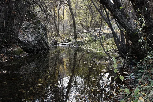
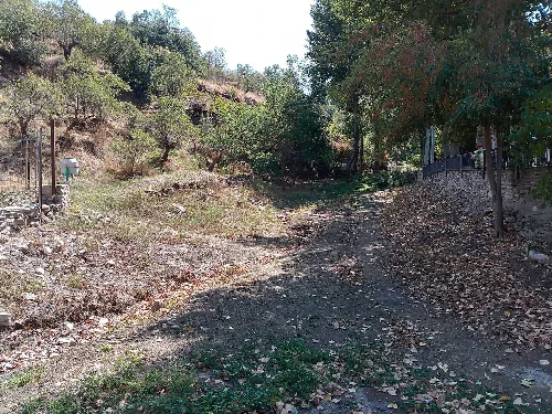
Bacares is surrounded by the Sierra de Filabres, featuring notable peaks like Calar Alto and Tetica de Bacares. The area is also home to the river Bacares, which flows through the municipality, and has diverse flora, including xerophytic plants and ancient pines. The region offers various hiking trails, such as the PR-A 362, showcasing its natural beauty.
Nature
What is the significance of the Día del Romero festival?
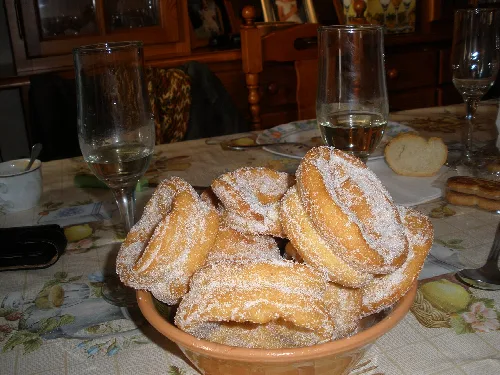
The Día del Romero, celebrated on the first weekend of February, is a traditional gathering for Bacares residents, especially those who have emigrated. The festival includes a giant paella on Saturday and olla de trigo on Sunday, along with the consumption of local sweets like roscos. It aims to reconnect the community and celebrate local traditions.
Festivals & events
Día del Romero
What are the traditional foods of Bacares?
Bacares is known for its rich culinary heritage, featuring dishes like fritá de conejo, gurullos de perdiz, and various meat stews. Local sweets include roscos dulces and cuerva. The cuisine reflects the agricultural practices in the region, with an emphasis on local produce and traditional recipes passed down through generations.
Food & drink
What can you tell me about the Castillo de Bacares?
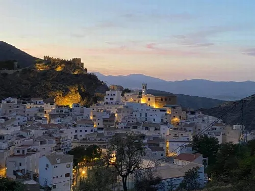
The Castillo de Bacares is a cultural heritage site built primarily in the 13th century, showcasing a rectangular layout with five square towers. It has undergone restoration and is a reminder of the town's historical significance, particularly during the Muslim period. The castle features remnants of its original structure, including walls and a central courtyard.
Sights
Castillo de Bacares
What recreational activities are available in Bacares?
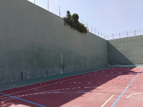
Bacares offers various recreational activities, including hiking along trails like the PR-A 362 and PR-A 454. The municipality has a sports complex with facilities for football, basketball, and paddle tennis. Additionally, the Club de Pelota Bacares promotes traditional sports in the area, contributing to local culture and community engagement.
Nature
For residents
How is the climate in Bacares?
Bacares has a semi-arid Mediterranean climate characterized by hot summers and cool winters. Average temperatures range from 4 to 6 °C in January to 20 to 22 °C in July. The area receives limited annual rainfall, typically between 200 to 400 mm, making it essential for local agriculture and influencing the types of crops grown.
Nature
For residents
What is the Iglesia de Santa María like?
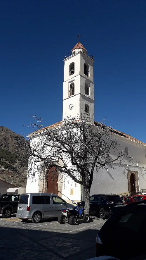
The Iglesia de Santa María in Bacares is a mudéjar-style church built between 1502 and 1505. It has undergone several restorations, particularly after being damaged during the Alpujarras rebellion. The church houses important religious images, including the Santísimo Cristo del Bosque, a significant figure for the local community.
Sights
Iglesia de Santa María
What are the main economic activities in Bacares today?
Currently, Bacares's economy is primarily driven by the service sector, followed by construction and agriculture. Key agricultural products include potatoes, wheat, and almonds. Although tourism is underdeveloped, there are a couple of rural accommodations available, reflecting the potential for growth in this area.
Living there
For residents
What is the local fauna like in Bacares?
Bacares is home to diverse wildlife, including deer, boars, foxes, and various birds of prey. The surrounding natural areas support a rich ecosystem, making it a suitable habitat for species like the Iberian water rat and the spotted toad. This biodiversity contributes to the region's ecological significance.
Nature
For residents
 espana.net