espana.net
 kallerna, CC BY-SA 4.0
Extremadura
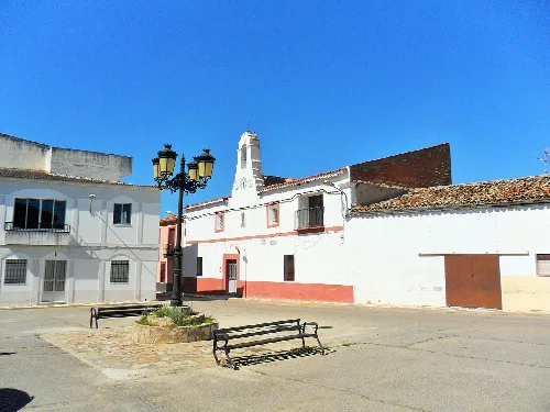
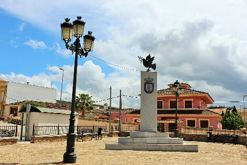
Guareña is a municipality located in the province of Badajoz, Extremadura. Known for its agricultural economy and rich history, it features a blend of cultural influences from various periods.
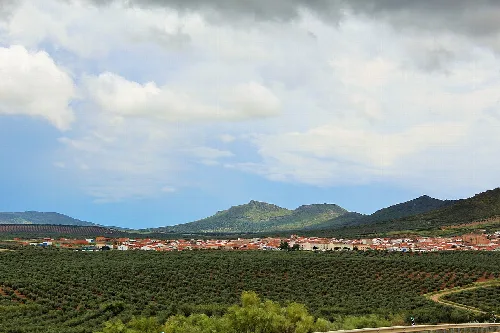
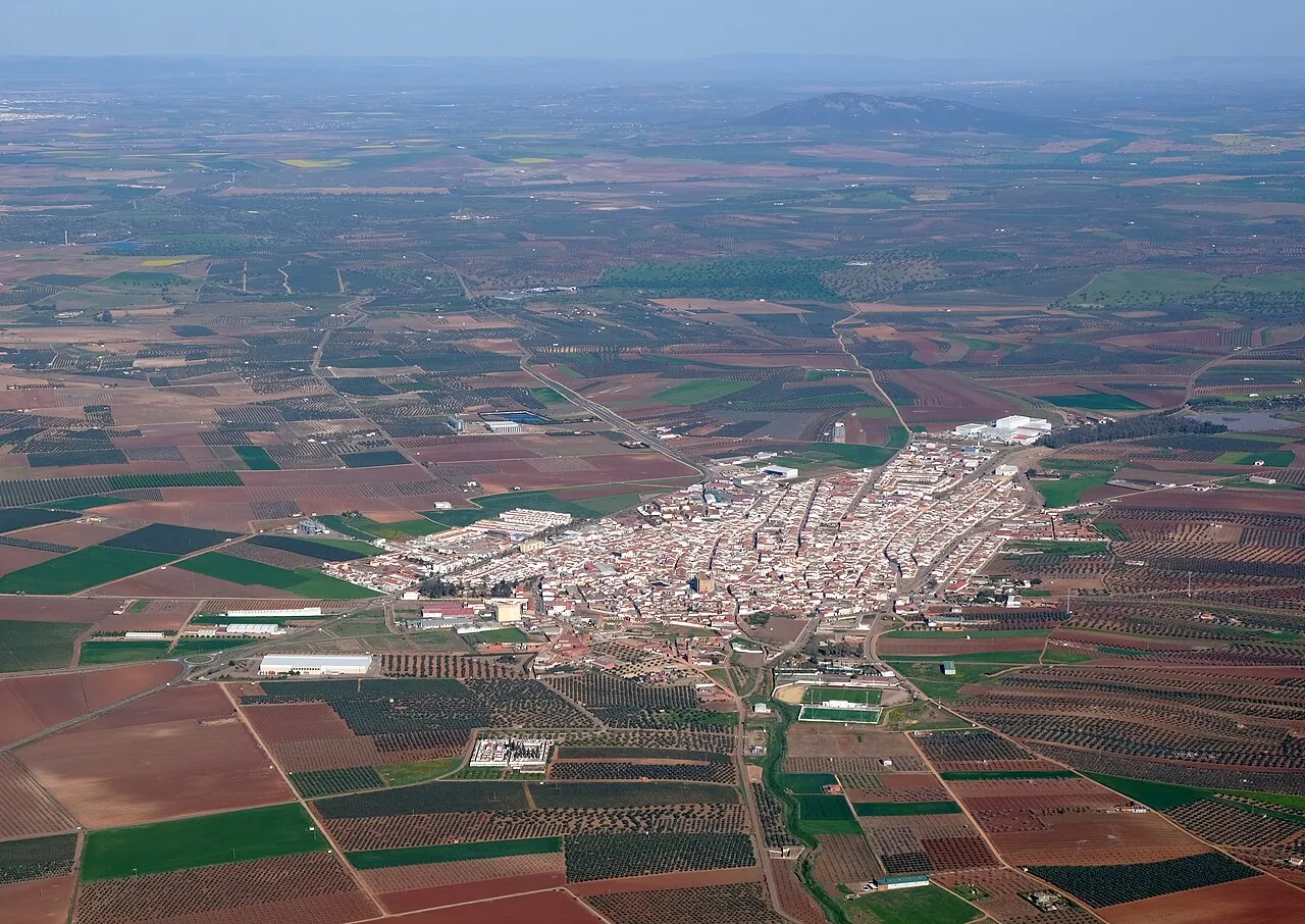
Guareña is situated in the northern part of Badajoz province, integrated into the comarca of Vegas Altas. The municipality is traversed by major roads, including the Autovía del Suroeste and the N-430, which connects Badajoz to Ciudad Real. The landscape is characterized by the fertile plains of the Guadiana River, which flows through the area, contributing to its agricultural viability.
The history of Guareña dates back to prehistoric times, with evidence of Tartessian, Roman, and Visigothic settlements. The town began to take shape in the 13th century around a watchtower, becoming a recognized settlement during the Reconquista. Over the centuries, Guareña has been influenced by various cultures and has played a role in significant historical events.
Guareña is a municipality in Badajoz, Extremadura, known for its agricultural economy and rich historical heritage.
The primary economic activity in Guareña is agriculture, which has evolved significantly over the years. The introduction of irrigation has enhanced agricultural productivity, while livestock farming also plays a role in the local economy. Although the industrial sector is not highly developed, it has seen gradual growth in recent years.
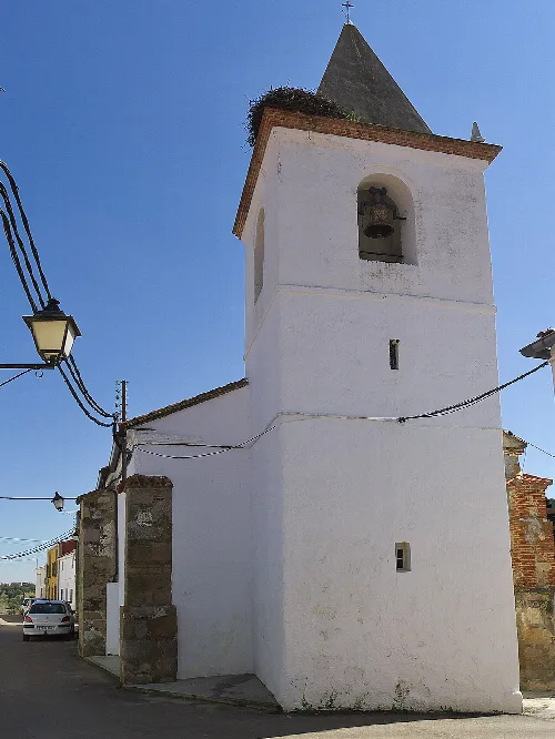
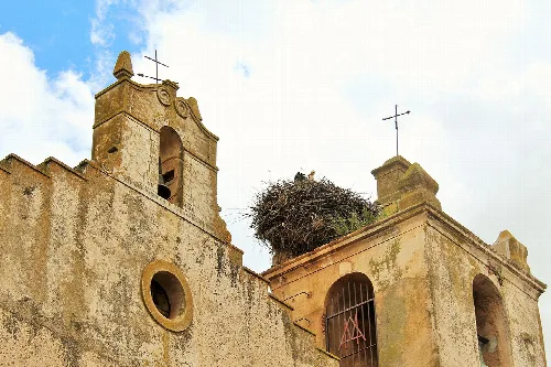
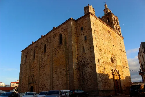
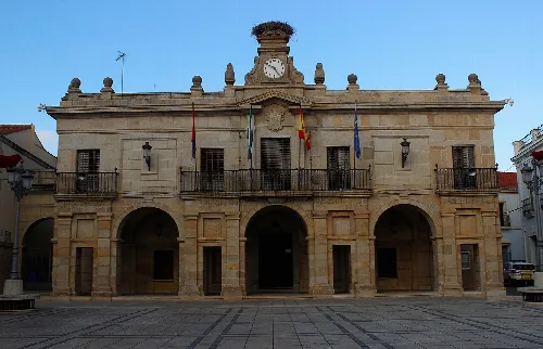
Guareña is home to several notable architectural and cultural landmarks. The parish church of Santa María stands out as the main monument, featuring a retablo created by local artist Julián Palencia Cortés. The town hall, a classicist building from the 18th century, and the capilla de San Gregorio are also significant sites, reflecting the town's rich artistic heritage.
Own text, written with AI assistance from the facts in Wikipedia · Guareña · Data: Wikidata Q1098716 · Photos: Wikimedia Commons, see individual licenses. · CC BY-SA 4.0