espana.net
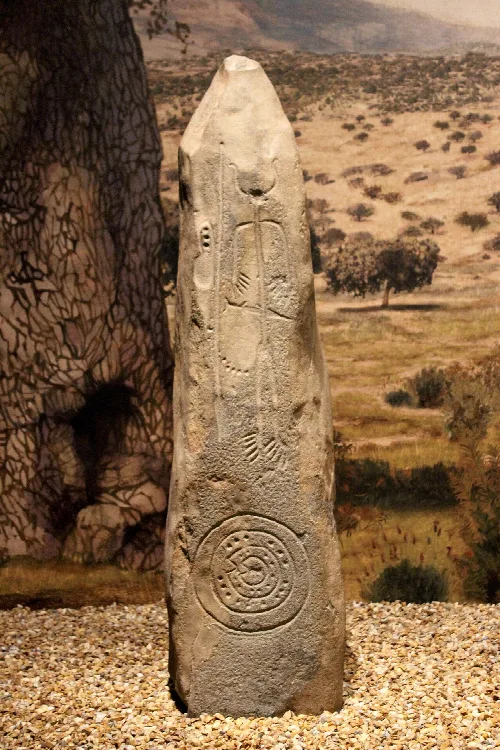
 Julen Iturbe-Ormaetxe from Bilbao, Spain, CC BY-SA 2.0
Extremadura
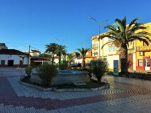
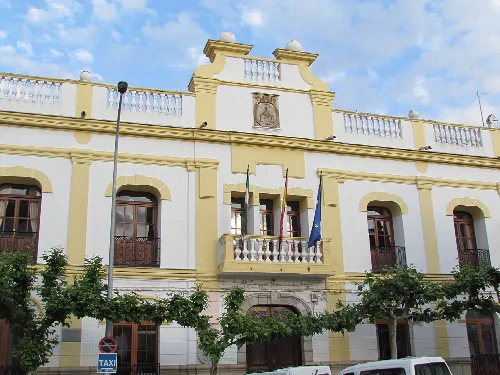
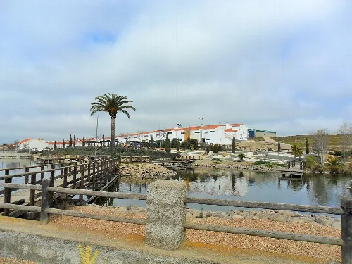
Magacela is a municipality located in the province of Badajoz, within the autonomous community of Extremadura. Known for its historical significance and cultural heritage, it features ancient structures and a rich past that dates back to prehistoric times.
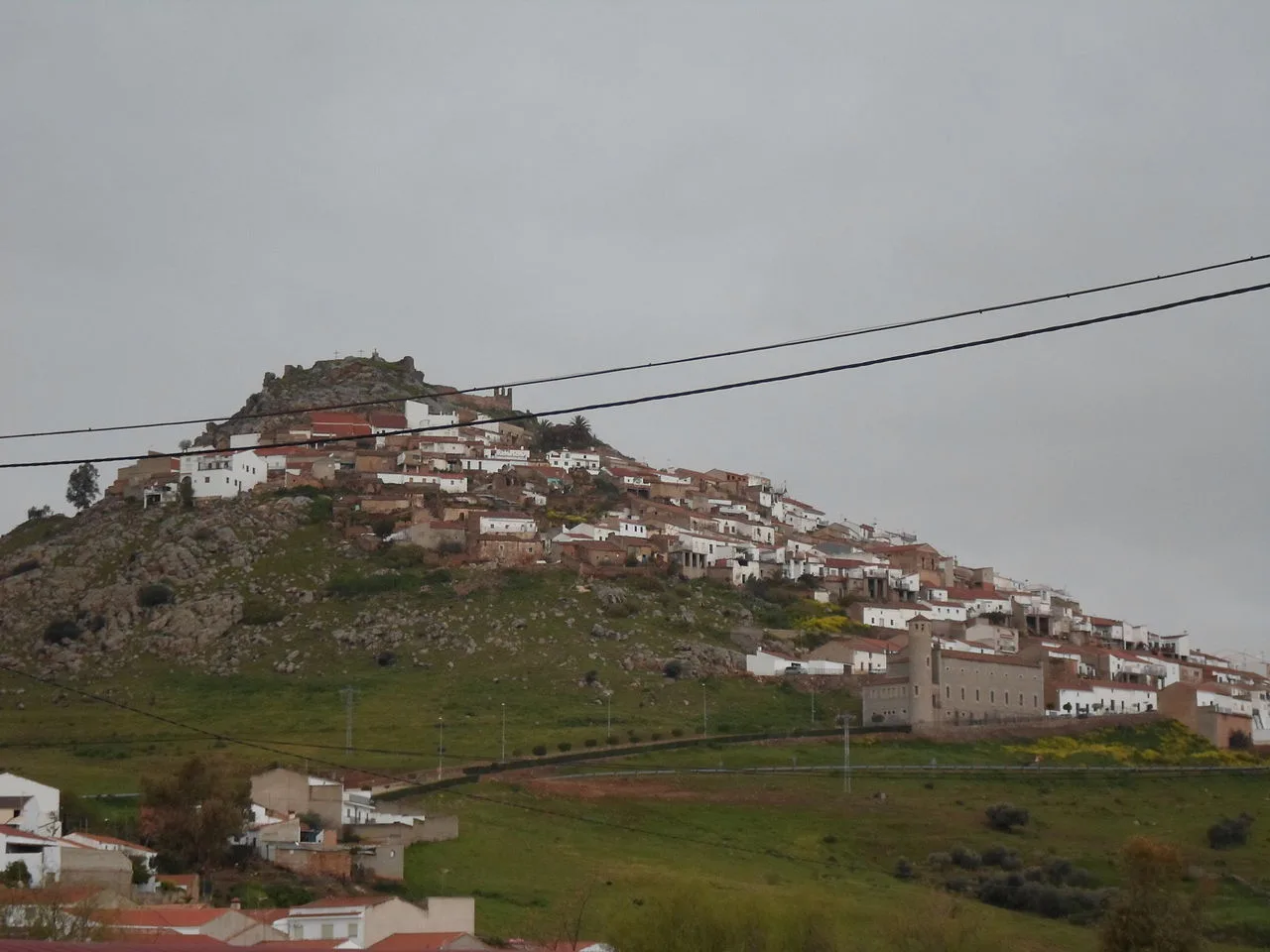
Magacela is situated on the eastern slope of the Sierra de Magacela, which runs in a northwest-southeast direction. The municipality is located in the northwest area of the La Serena comarca and is in proximity to Villanueva de la Serena, La Haba, La Coronada, and Don Benito. It falls under the judicial district of Villanueva de la Serena.
The origins of Magacela trace back to prehistoric times, evidenced by a dolmen and rock paintings in the area. The settlement was later occupied during the Muslim period and was reconquered in the 13th century. It became significant under the Order of Alcántara and experienced a gradual decline after the relocation of the Priorate in the late 15th century.
Discover Magacela, a historic municipality in Badajoz, Extremadura, known for its cultural heritage and ancient sites.
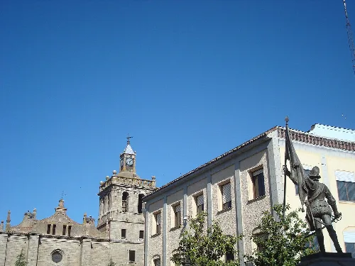
Magacela is recognized for its cultural heritage, with numerous ancient urban constructions. The parish church, dedicated to Santa Ana, is a notable landmark. The municipality celebrates two main festivals each year, reflecting its local traditions and community spirit.
Own text, written with AI assistance from the facts in Wikipedia · Magacela · Data: Wikidata Q1615390 · Photos: Wikimedia Commons, see individual licenses. · CC BY-SA 4.0