espana.net
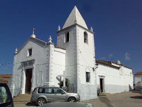
 Tagido, Public domain
Extremadura
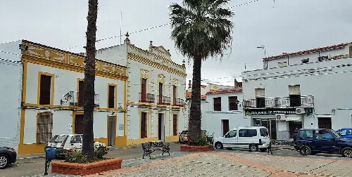
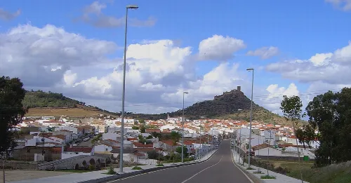
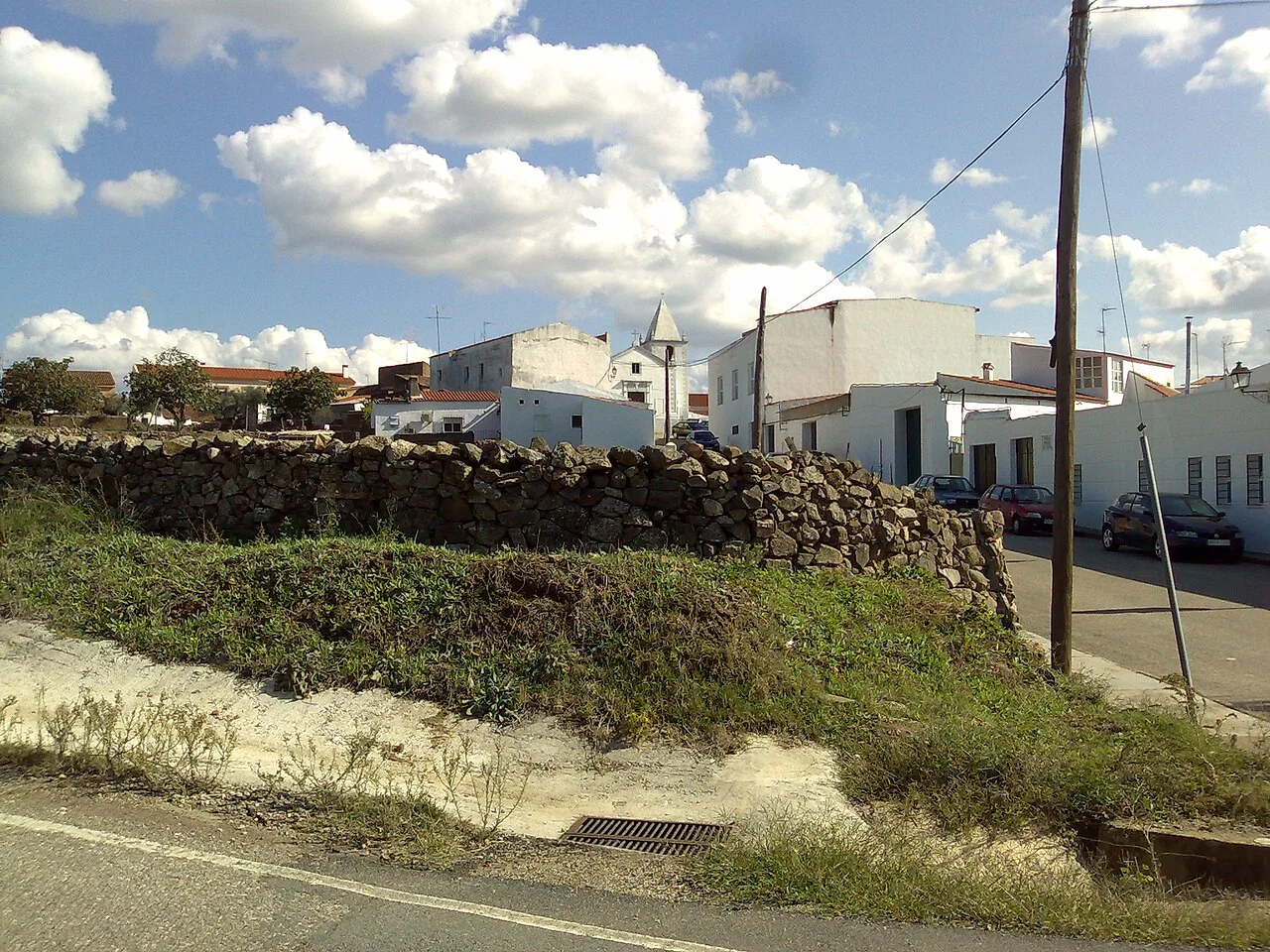
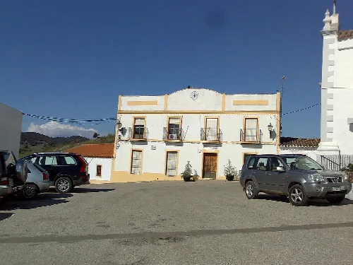
Táliga (Spanish: [ˈtaliɣa]) or Talega (Portuguese: [tɐˈlɛɣɐ]) is a Spanish town and municipality located near the border with Portugal, in the province of Badajoz, in the Spanish autonomous community of Extremadura. Portugal considers Táliga, as well as neighbouring Olivenza, a de jure part of the Portuguese concelho of Olivenza, occupied by Spain since 1801. Under Portuguese administration, Táliga was a freguesia (parish) of the concelho (municipality) of Olivenza. It became an independent municipality in 1850, already under Spanish administration.
Text based on Wikipedia · Táliga · Data: Wikidata Q1613535 · Photos: Wikimedia Commons, see individual licenses. · CC BY-SA 4.0