espana.net
 Ruben86, Public domain
Extremadura
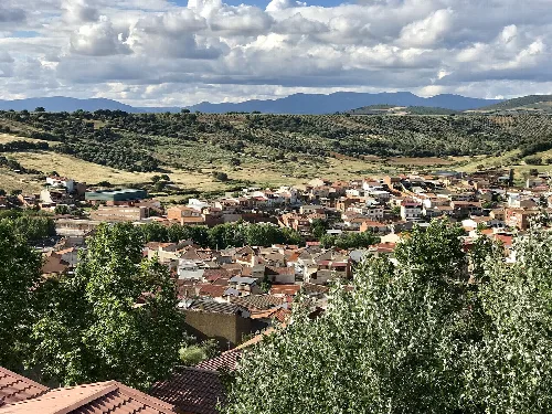
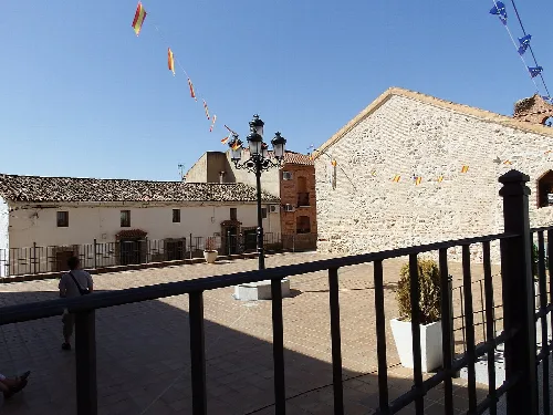
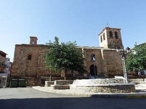
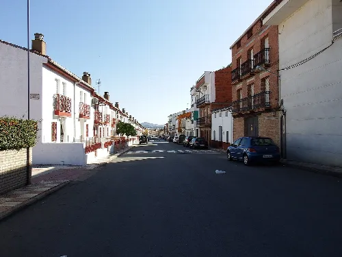
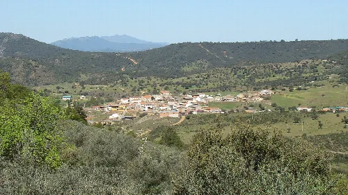
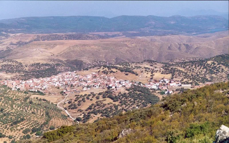
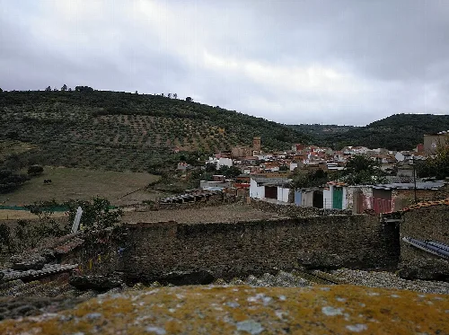
Villarta de los Montes is a municipality located in the province of Badajoz, Extremadura, characterized by its mountainous terrain and rich pastoral history. With a small population, it offers a unique blend of natural beauty and cultural heritage.
Villarta de los Montes is situated in the easternmost part of Badajoz and Extremadura, nestled in the foothills of the Sierra de la Umbría. The municipality is surrounded by a rugged landscape, featuring abundant pine forests and diverse vegetation, which contributes to its scenic beauty. It is part of the Cijara integrated community and is relatively isolated from nearby towns due to the challenging terrain.
The origins of Villarta de los Montes are closely tied to sheep farming, with its development linked to the Mesta, a historical association of sheep herders. The village began to take shape in the 13th century, evolving through various historical periods and expanding in an unplanned manner. It has a rich historical background, having been part of the cora of Al-Belath and later coming under Christian control in the late 11th century.
Discover Villarta de los Montes, a picturesque municipality in Badajoz, Extremadura, known for its rich history and stunning landscapes.
The economy of Villarta de los Montes is primarily based on livestock and agriculture, particularly sheep and goat farming. The region's challenging terrain limits agricultural practices, but crops such as wheat, barley, and olives are cultivated. The local culture is vibrant, with various festivals and traditional dishes that reflect the area's pastoral heritage.
Own text, written with AI assistance from the facts in Wikipedia · Villarta de los Montes · Data: Wikidata Q957280 · Photos: Wikimedia Commons, see individual licenses. · CC BY-SA 4.0