espana.net
 Rowanwindwhistler, CC BY-SA 3.0
Castile and León
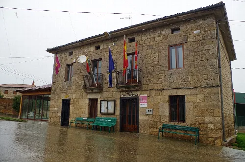
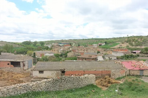
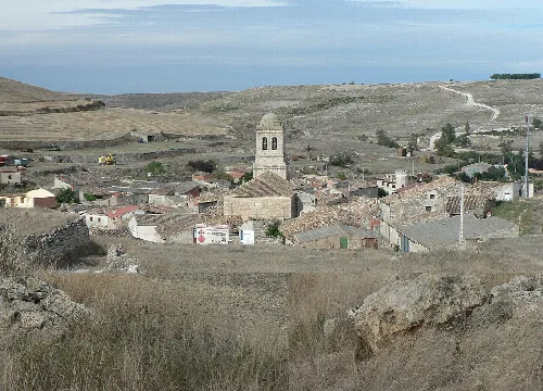
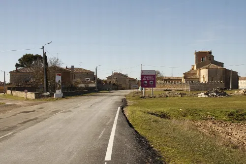
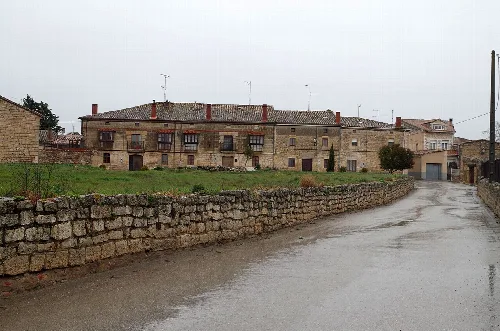
Iglesias is a small municipality located in the province of Burgos, within the autonomous community of Castile and León. Characterized by its rich history and notable religious architecture, it is part of the Odra-Pisuerga comarca and has a population of 136 residents.
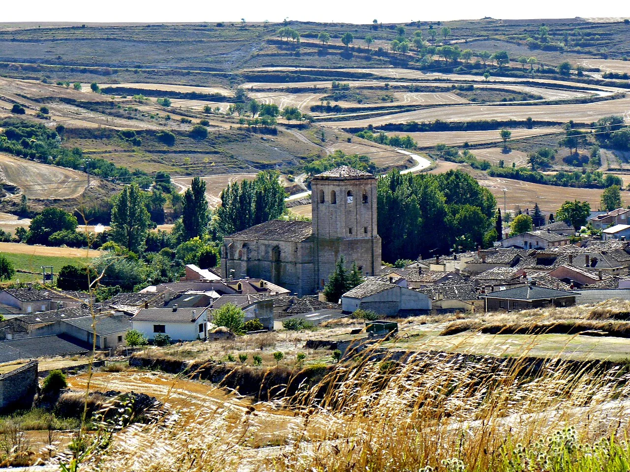
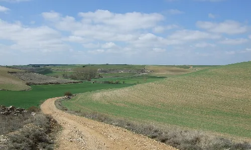
Iglesias is situated in the center-west of Burgos province, characterized by a landscape of plateaus interspersed with steep valleys. The municipality covers an area of 34.54 km² and is part of the Duero river basin, with its elevation reaching 844 meters above sea level. The region is marked by its irregular hydrography, featuring several small streams that converge into the river Arlanzón.
The earliest records of Iglesias date back to around 1250, with its name appearing as "Eglesias" in historical texts. Throughout the Middle Ages, it was associated with nearby towns and religious orders, notably linked to the Camino de Santiago. The area has seen a decline in population due to rural exodus, particularly between 1950 and 1981.
Iglesias is a small municipality in Burgos, Castile and León, known for its historical significance and religious architecture.
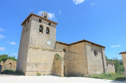
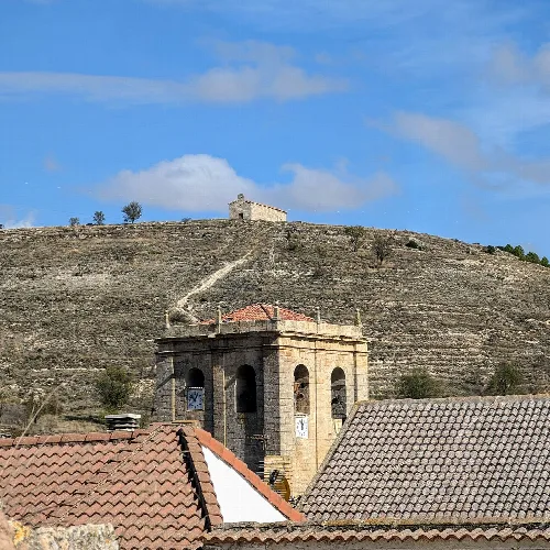
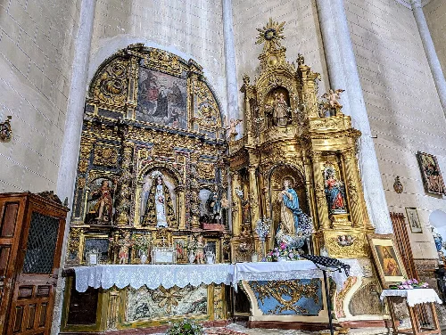
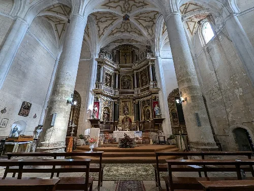
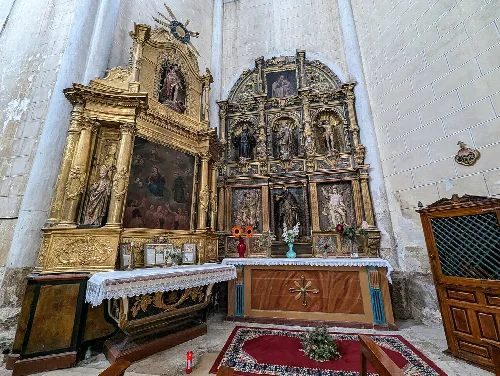
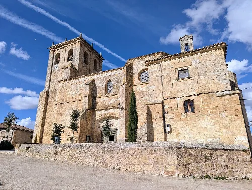
Iglesias is home to several notable religious structures, including the Church of San Martín Obispo, which features a Renaissance style and houses valuable historical artifacts. The Ermita de Santa Centola, dating back to the late 12th century, is another significant site, celebrated during local festivals. Additionally, the Museo Etnográfico showcases traditional tools and photographs reflecting the village's heritage.

Own text, written with AI assistance from the facts in Wikipedia · Iglesias, Province of Burgos · Data: Wikidata Q1076391 · Photos: Wikimedia Commons, see individual licenses. · CC BY-SA 4.0