espana.net
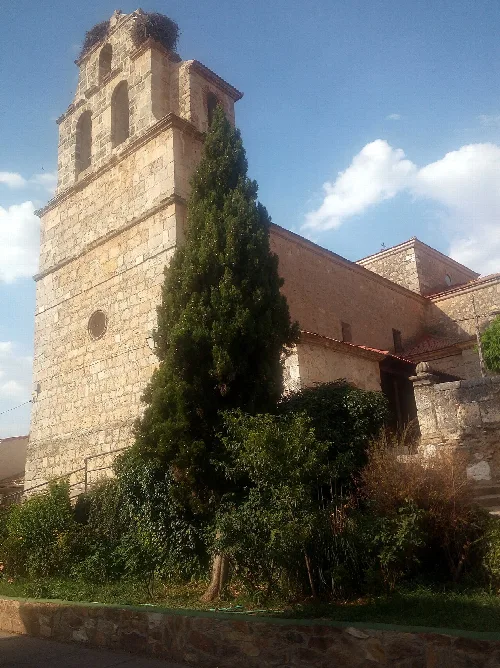
 Jesús Serna, CC BY-SA 2.5
Castile and León
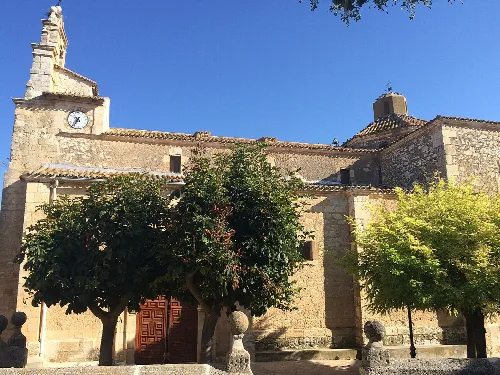
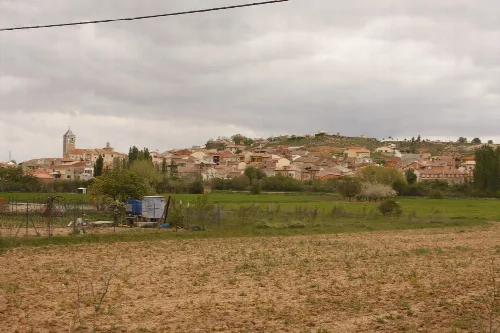
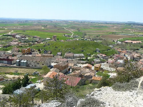
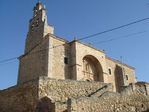
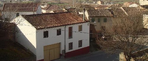
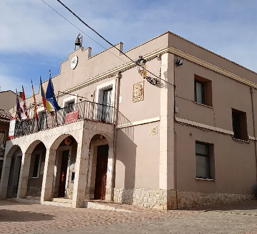
Villalba de Duero is a municipality in the province of Burgos, located in the autonomous community of Castile and León. It is characterized by its agricultural economy, particularly in viticulture, and its picturesque setting along the Duero River.
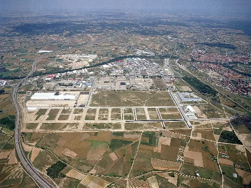
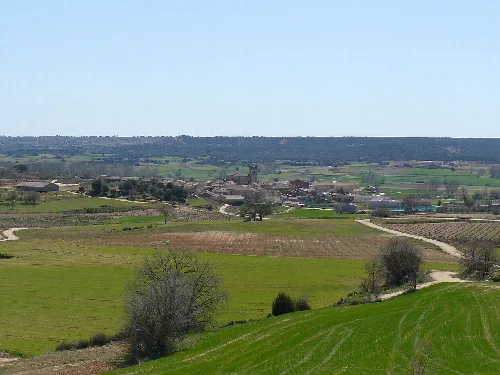
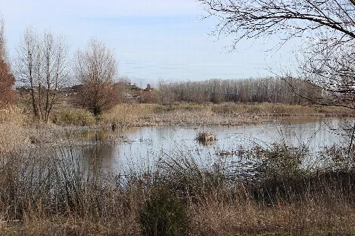
Villalba de Duero is situated on the right bank of the Duero River, featuring the typical landscape of the Ribera region. The area includes riverine forests, flat lands for irrigation crops, and cereal fields, while vineyards and significant pine and oak forests adorn the gentle slopes. The municipality is bordered by Aranda de Duero to the north and east, Castrillo de la Vega to the south, and Gumiel de Mercado to the west.
Villalba de Duero gained the status of a villa on January 12, 1639, achieving independence from Aranda de Duero during the reign of Felipe IV. It was part of the Aranda de Duero district, which included fourteen municipalities during the late 18th century.
Villalba de Duero is a municipality in Burgos known for its agriculture and scenic location by the Duero River.
The economy of Villalba de Duero is primarily based on agriculture and livestock, with a significant focus on viticulture due to its location in the Ribera del Duero region. The area is associated with two Denominations of Origin: Lechazo de Castilla y León and Vino de la Ribera del Duero.
Own text, written with AI assistance from the facts in Wikipedia · Villalba de Duero · Data: Wikidata Q1630696 · Photos: Wikimedia Commons, see individual licenses. · CC BY-SA 4.0