espana.net
 Jesús Serna, CC BY 3.0
Castile and León
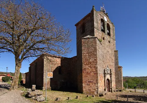
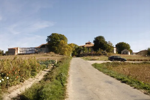
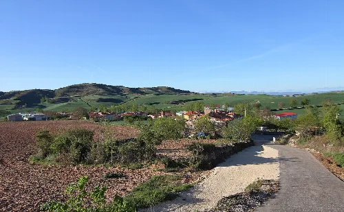
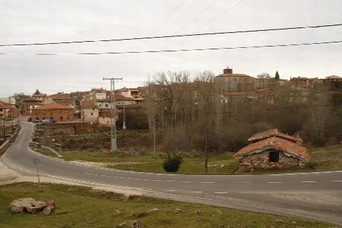
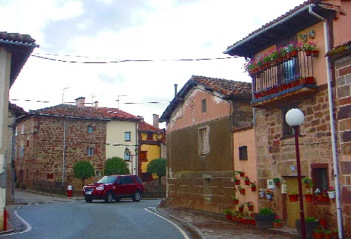
Villasur de Herreros is a municipality located in the province of Burgos, within the autonomous community of Castile and León. Known for its rich natural environment and historical significance, it features a population of 269 and is situated at an elevation of 1023 meters.
Villasur de Herreros is positioned in the central-eastern part of Burgos province, bordered by the municipalities of Arlanzón and Pineda de la Sierra. The area is characterized by its location in the Meseta Central, near the Sierra de la Demanda, with significant elevations exceeding 1000 meters. The municipality includes two population centers, Villasur and Urrez, which are situated at altitudes of 1028 and 1149 meters, respectively.
The area of Villasur de Herreros was repopulated in the mid-9th century by the Ansúrez family, likely giving rise to its name. It was historically part of the alfoz of Villafranca Montes de Oca until it gained independence during the reign of San Fernando. The municipality evolved over time, incorporating neighboring areas and adapting to changes such as the construction of the Úzquiza reservoir.
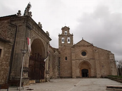
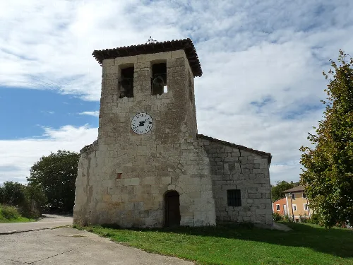
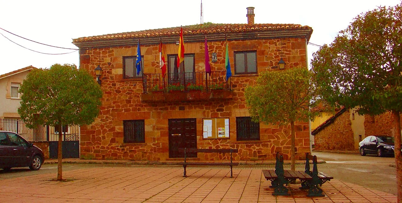
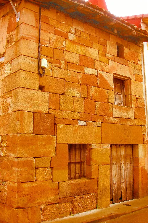
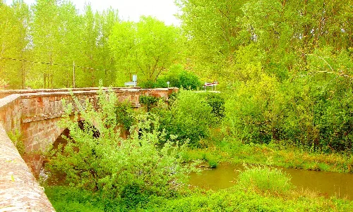
Villasur de Herreros is a municipality in Burgos, known for its natural beauty and historical sites.
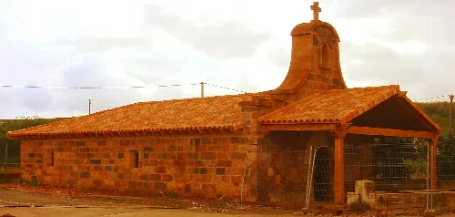
The local economy is primarily based on forestry and livestock, with tourism also playing a significant role due to the area's natural beauty. The establishment of reservoirs has impacted agricultural land, while the region is recognized for its high-quality beef, promoted by local associations. Cultural heritage includes various historical sites and a museum dedicated to mining history.
Own text, written with AI assistance from the facts in Wikipedia · Villasur de Herreros · Data: Wikidata Q1657237 · Photos: Wikimedia Commons, see individual licenses. · CC BY-SA 4.0