espana.net
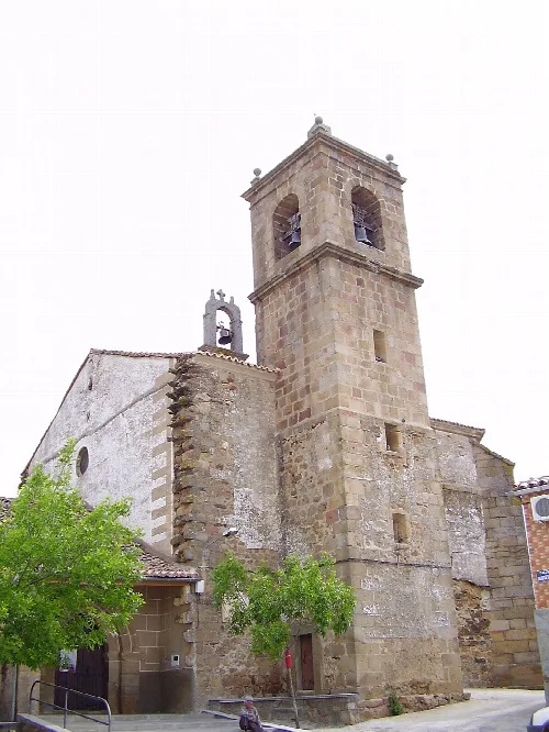
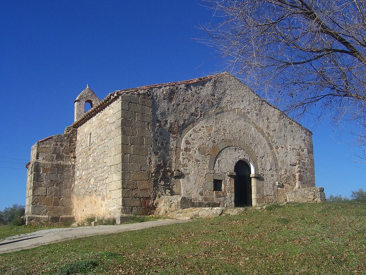 Montehermoso-spain, Public domain
Extremadura
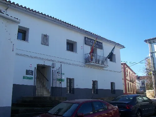
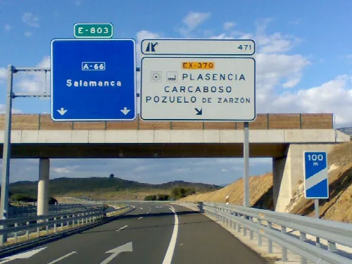
Pozuelo de Zarzón is a municipality located in the province of Cáceres, Extremadura. Characterized by its agricultural economy and historical heritage, it is home to a small population of 430 residents.
Pozuelo de Zarzón is situated in a small valley surrounded by olive groves in the northwest of Cáceres province. The municipality covers an area of 47 km² and has an average elevation of 466 meters above sea level. The region is characterized by gentle hills and lacks significant watercourses, with several small streams and lagoons that historically served as watering places for livestock.
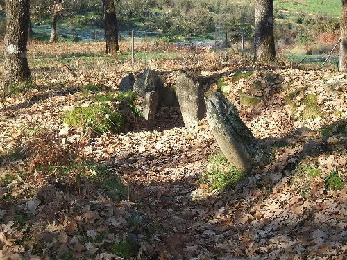
The history of Pozuelo de Zarzón dates back to Celtic times, with archaeological findings indicating early settlements. The area later saw Roman influence, evidenced by funerary remains and artifacts. Following the Reconquista, it became part of the Señorío de Galisteo until its dissolution in 1837, and was established as a constitutional municipality thereafter.
Pozuelo de Zarzón is a small municipality in Extremadura, known for its agriculture and historical sites.
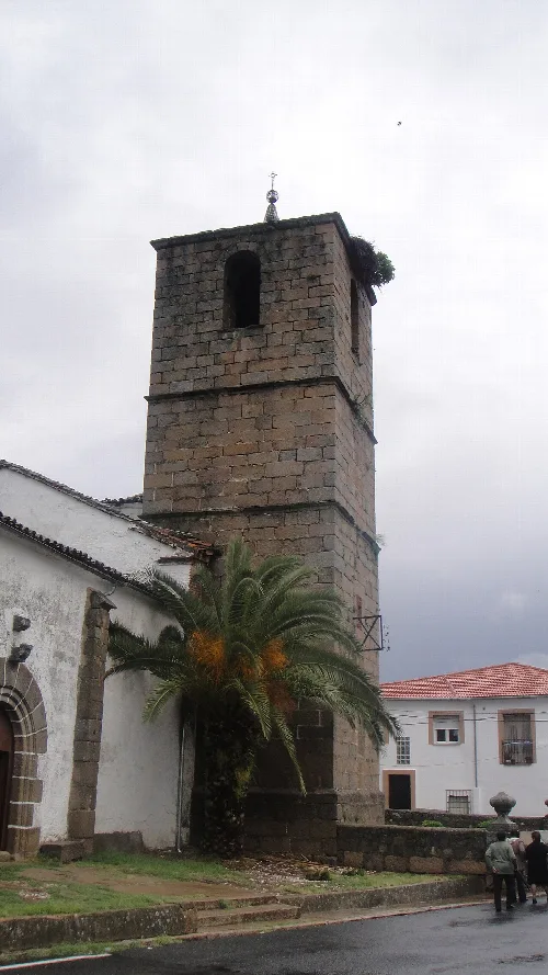
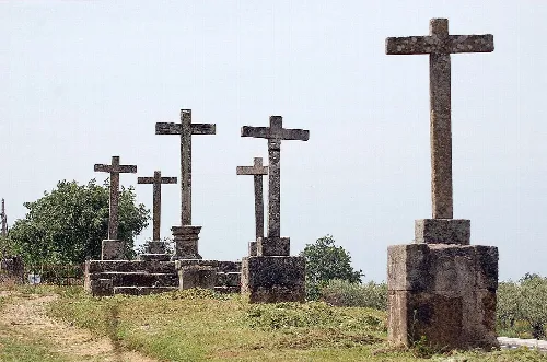
Pozuelo de Zarzón boasts several notable religious monuments, including the Baroque-style Iglesia parroquial de San Pedro and various hermitages. The local culture is enriched by an ethnographic museum and a public library, which serve as important community resources.
Own text, written with AI assistance from the facts in Wikipedia · Pozuelo de Zarzón · Data: Wikidata Q1630861 · Photos: Wikimedia Commons, see individual licenses. · CC BY-SA 4.0