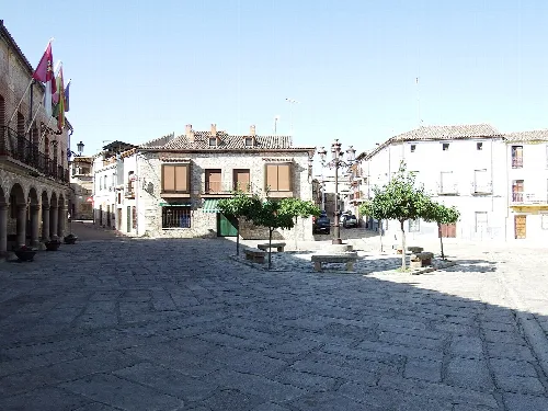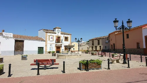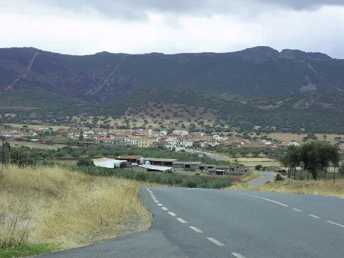
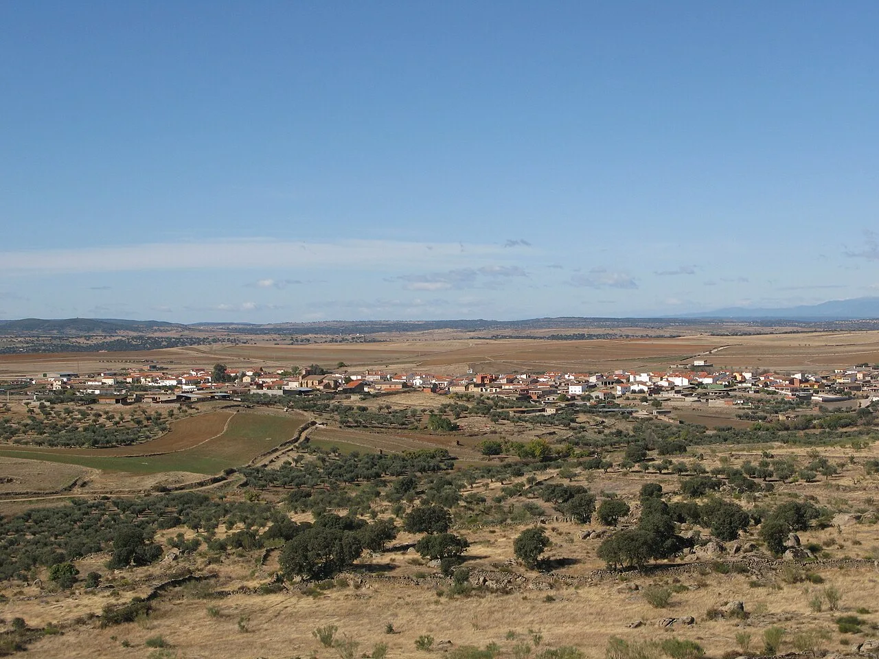
Rural landscape with village and fields from Peña Rastraera in Villar del Pedroso. Roinpa, CC BY-SA 4.0

Villar del Pedroso

Extremadura

547Population
242 km²Area
732 mElevation
10...Postal code

Villar del Pedroso is a municipality located in the province of Cáceres, Extremadura. Characterized by its historical significance and Mediterranean climate, it encompasses the locality of Navatrasierra and features a rich cultural heritage.

02Geography

Villar del Pedroso is situated in the eastern part of Cáceres province, featuring an elongated municipal area that narrows in the middle. It includes the locality of Navatrasierra, located to the south in the Sierra de Altamira. The municipality shares borders with several others, including those in the provinces of Toledo and Guadalupe.

Climate type
Mediterranean
Average annual precipitation
474 mm
Average annual temperature
15.9 °C
Coldest month
December (7.2 °C)
Hottest month
July (26.1 °C)

03History

The area has been inhabited since before Roman times, possibly being the site of the ancient city of Augustobriga. Evidence of various cultures, including the Vettones and Visigoths, has been found, alongside remnants from the Muslim period. The definitive foundation of Villar del Pedroso is often dated to January 13, 1249, when colonists were granted permission to settle.

Explore Villar del Pedroso, a historic municipality in Cáceres, Extremadura, known for its rich cultural heritage and Mediterranean climate.

04Cultural Heritage

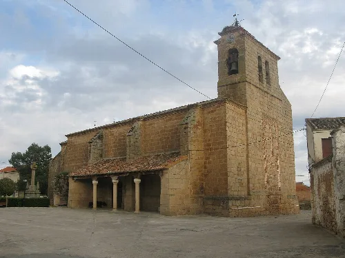
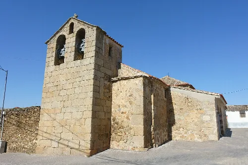
Villar del Pedroso boasts significant historical monuments, including the parish church of San Pedro, constructed between the 15th and 18th centuries. The church houses various important artworks, including several altarpieces and paintings from the 16th and 17th centuries.
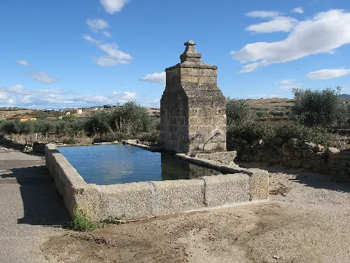
Stone fountain in Villar del Pedroso with rural landscape and blue sky.
Stone fountain in Villar del Pedroso with rural landscape and blue sky in the background.
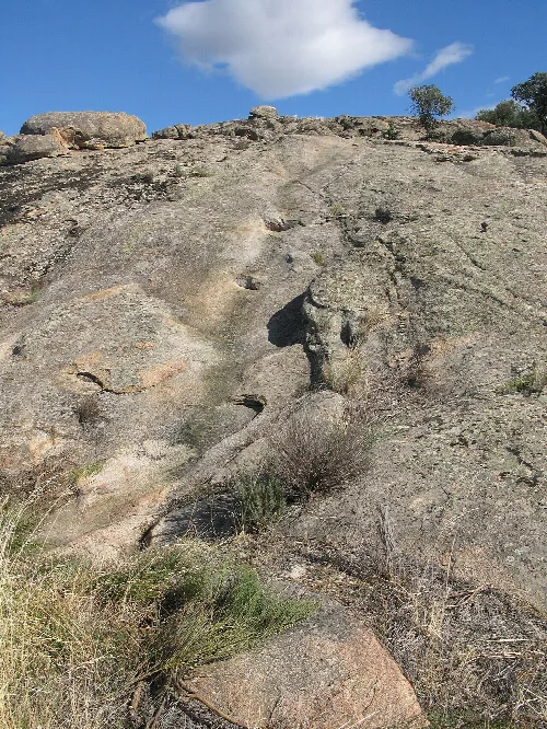
Rocks and vegetation at Peña Rastraera in Villar del Pedroso.
Peña Rastraera in Villar del Pedroso, with rocks and vegetation in a natural landscape.
Villar del Pedroso · Data
Province
Cáceres
Autonomous community
Extremadura
Population
547
Area
242 km²
Elevation
732 m
Postal code
10...
Website
http://www.villardelpedroso.com/
Coordinates
39.7048, -5.1983

Photos

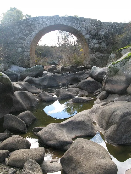
Romanesque stone bridge over a river with rocks and vegetation.
Romanesque bridge over the Pedroso River in Villar del Pedroso, with large rocks in the river and vegetation in the background.
Stone church with tower and columns in Villar del Pedroso.
Stone church in Villar del Pedroso with tower and columns at the entrance.
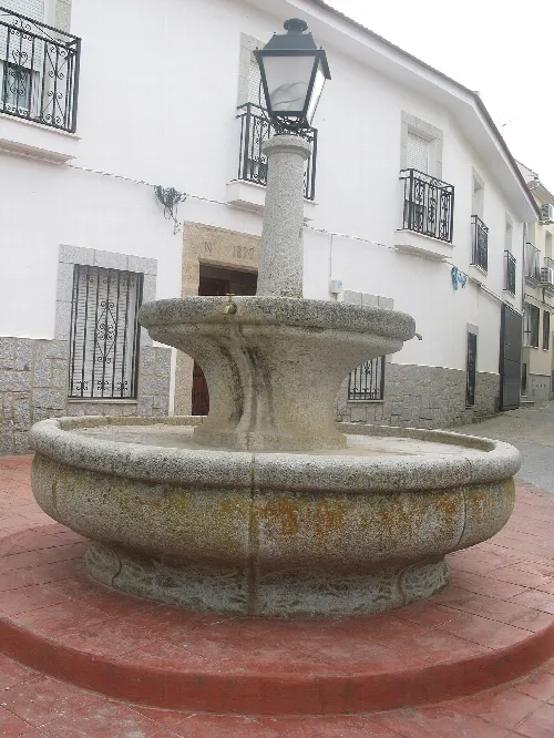
Stone fountain with lantern in Villar del Pedroso square.
Stone fountain in Demetrio Medina square in Villar del Pedroso, Cáceres.
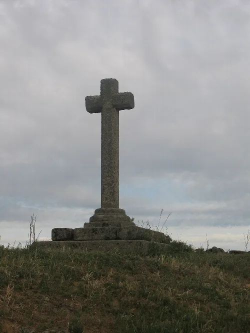
Stone cross on a hilltop with cloudy sky.
A stone cross on a hilltop with cloudy sky in Villar del Pedroso, Cáceres.
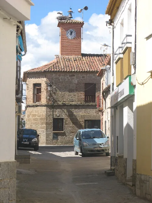
Town hall building with clock tower and cars on the street.
View of Villar del Pedroso town hall in Cáceres, with a clock on the tower and cars on the street.

Map

Nearby

Casa consistorial de Azután (Toledo, España).
Azután
Toledo · 286 inhabitants

Own text, written with AI assistance from the facts in Wikipedia · Villar del Pedroso · Data: Wikidata Q1750977 · Photos: Wikimedia Commons, see individual licenses. · CC BY-SA 4.0