espana.net
 El Pantera, CC BY-SA 4.0
Andalusia
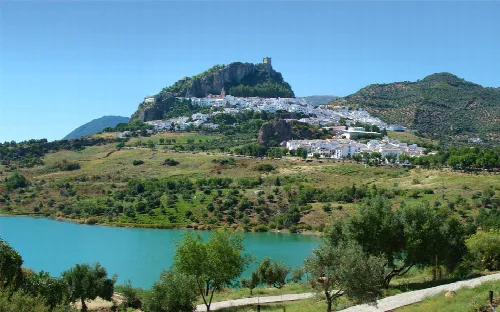
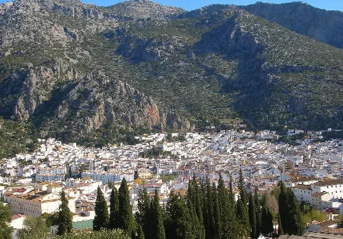
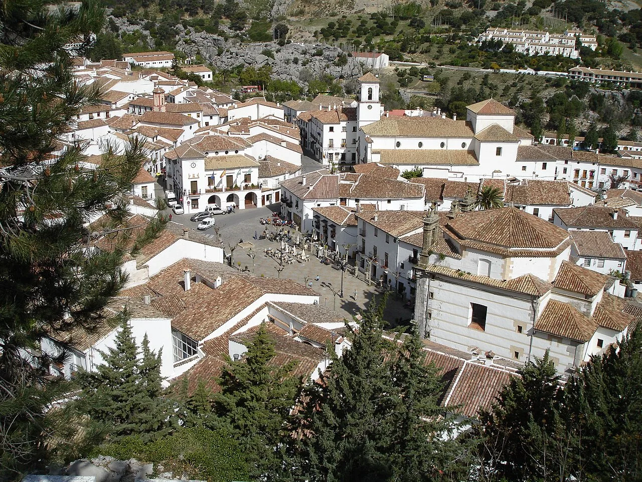
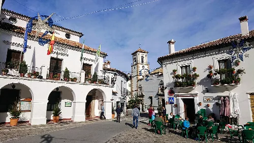
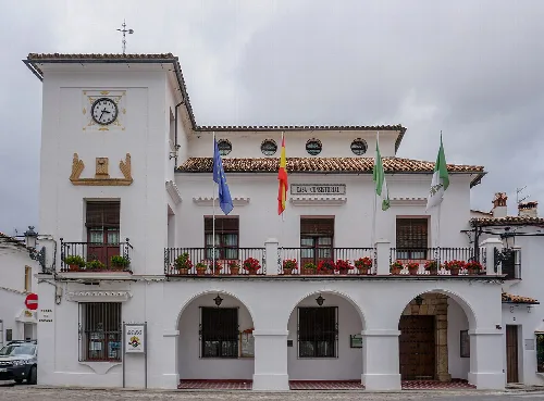
Grazalema is a municipality located in the province of Cádiz, Andalusia, known for its stunning natural landscapes and high rainfall. It is part of the Sierra de Grazalema Natural Park and is recognized as one of the most beautiful villages in Spain.
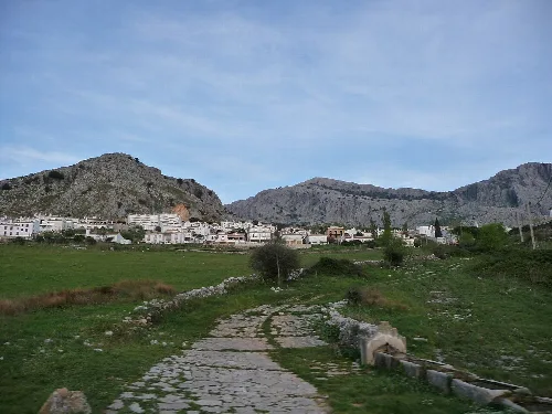
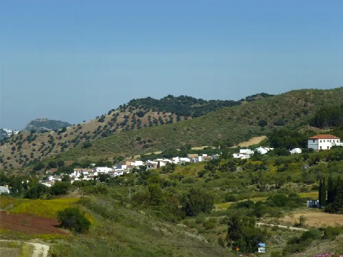
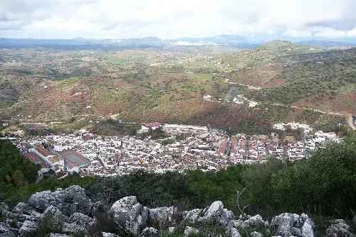
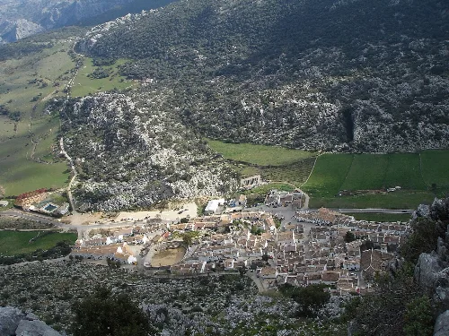
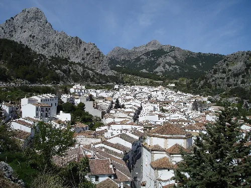
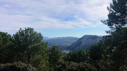
Nestled in the northeastern part of Cádiz province, Grazalema is surrounded by the Sierra de Grazalema mountain range. It is adjacent to the Serranía de Ronda and lies within a natural park known for its exceptional rainfall, which is the highest in Andalusia. The area is characterized by its rugged terrain, including notable peaks such as Peñón Grande and Cerro de San Cristóbal.
Grazalema's history dates back to prehistoric times, with evidence of human activity in the area. The town was established during the Roman colonization as the villa of Lacilbula. It later fell under Muslim rule and was known as Raisa Iami Suli. The Christian reconquest in 1485 marked a significant turning point, leading to its integration into the Crown of Castile.
Grazalema, a picturesque municipality in Cádiz, is famous for its natural beauty and high rainfall, part of the Sierra de Grazalema Natural Park.
Grazalema hosts various cultural events and festivals that reflect its rich heritage. Notable celebrations include the Toro de Cuerda and the Fiestas Mayores, alongside a historical reenactment inspired by the bandit El Tempranillo. The local cuisine features traditional dishes such as caldereta de cordero and payoyo cheese.

Own text, written with AI assistance from the facts in Wikipedia · Grazalema · Data: Wikidata Q832949 · Photos: Wikimedia Commons, see individual licenses. · CC BY-SA 4.0