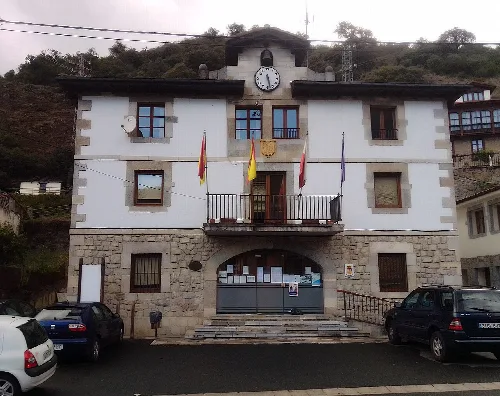
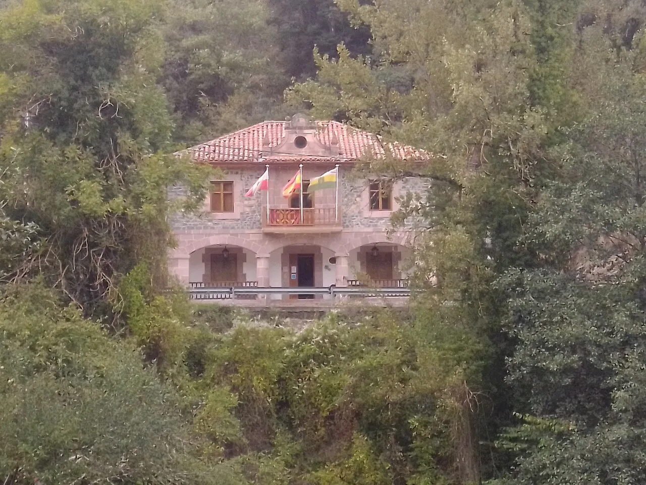
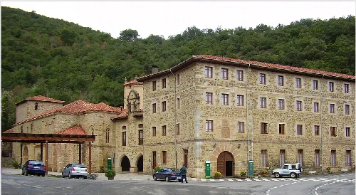
Camaleño town hall among trees. MiguelAlanCS, CC BY-SA 4.0

Camaleño

Cantabria

964Population
161.80 km²Area
4 mElevation
39587Postal code

Camaleño is a municipality located in the western part of Cantabria, Spain, known for its stunning natural landscapes and rich cultural heritage. It is part of the Liébana comarca and is home to the Monasterio de Santo Toribio de Liébana, a significant religious site.

02Geography

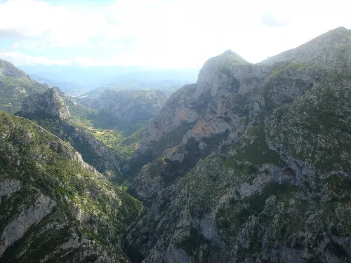
Camaleño is situated in the Valdebaró valley, bordered by several municipalities including Cillorigo de Liébana and Cabrales to the north, and Vega de Liébana to the south. The Deva River flows through the municipality, originating from the Picos de Europa mountains, which dominate the local landscape.

Climate
Temperate humid with cool summers (Cfb) according to Köppen classification.
Average temperature increase
0.6 degrees over the last fifty years.
Average precipitation decrease
10 percent over the last fifty years.

03Economy

The economy of Camaleño is primarily based on livestock farming, agriculture, and the service sector, which thrives due to the influx of visitors to the Picos de Europa National Park. Local products include Quesucos de Liébana, a cheese with a protected designation of origin, and orujo lebaniego, a traditional liquor.

Camaleño is a municipality in Cantabria, Spain, known for its natural beauty and the Monasterio de Santo Toribio de Liébana.

04Cultural Heritage

Camaleño is notable for its cultural landmarks, including the Monasterio de Santo Toribio de Liébana, which is considered one of the five holy places of Christianity. The municipality also features the historic site of Mogrovejo and the Lebaniega Route, which connects with the Camino de Santiago.
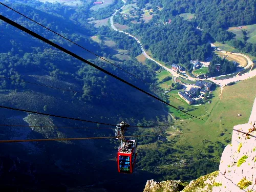
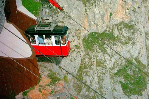
Red cable car in Fuente Dé with valley and green mountains in view.
Fuente Dé cable car in Cantabria ascending over the valley surrounded by greenery.
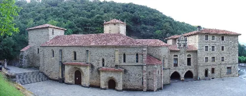
Monastery of Santo Toribio de Liébana in Camaleño, Cantabria, with a stone building and several windows.
The Monastery of Santo Toribio de Liébana, a historic building in Camaleño, Cantabria.
Camaleño · Data
Province
Cantabria
Autonomous community
Cantabria
Population
964
Area
161.80 km²
Elevation
4 m
Postal code
39587
Website
http://www.aytocamaleno.org/
Coordinates
43.1519, -4.6922

Photos

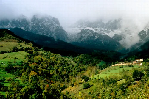
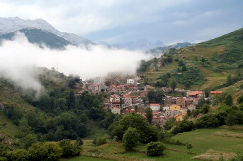
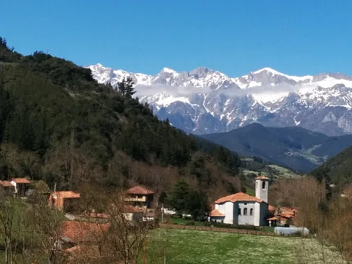
Mountain landscape, green valley, and houses in Camaleño, Cantabria.
Belondio Valley with the village of Tanarrio in Camaleño, Cantabria, surrounded by mountains and clouds.
Red cable car on a mountain with rocks and vegetation.
Fuente Dé cable car in Cantabria, with mountain and valley views.
Stone monastery with red roofs in Camaleño, Cantabria.
View of the Monastery of Santo Toribio de Liébana in Camaleño, with stone walls and red-tiled roofs.
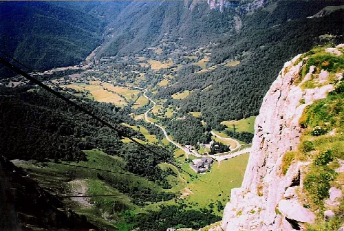
Aerial view of Fuente Dé and the cable car station in the Picos de Europa.
View of the lower station of the cable car in Fuente Dé, in the Picos de Europa, Cantabria, from a high vantage point.

Map

Nearby

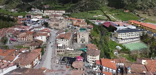
Aerial view of Captain Palacios Square, the Infantado Tower, and the church in Potes.
Potes
Cantabria · 1,323 inhabitants

Own text, written with AI assistance from the facts in Wikipedia · Camaleño · Data: Wikidata Q1443934 · Photos: Wikimedia Commons, see individual licenses. · CC BY-SA 4.0