espana.net
 Enrique Íñiguez Rodríguez (Qoan), CC BY-SA 3.0
Valencian Community
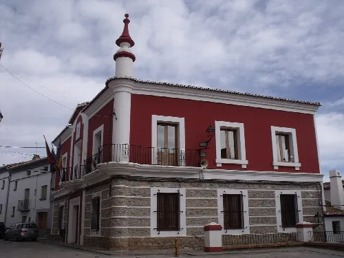
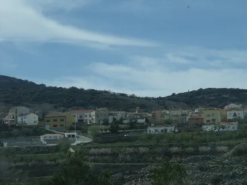
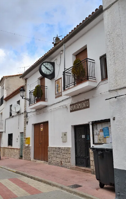
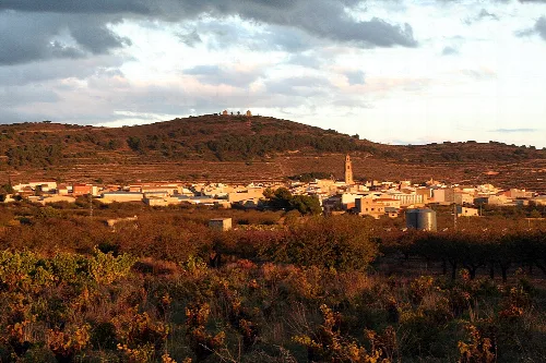
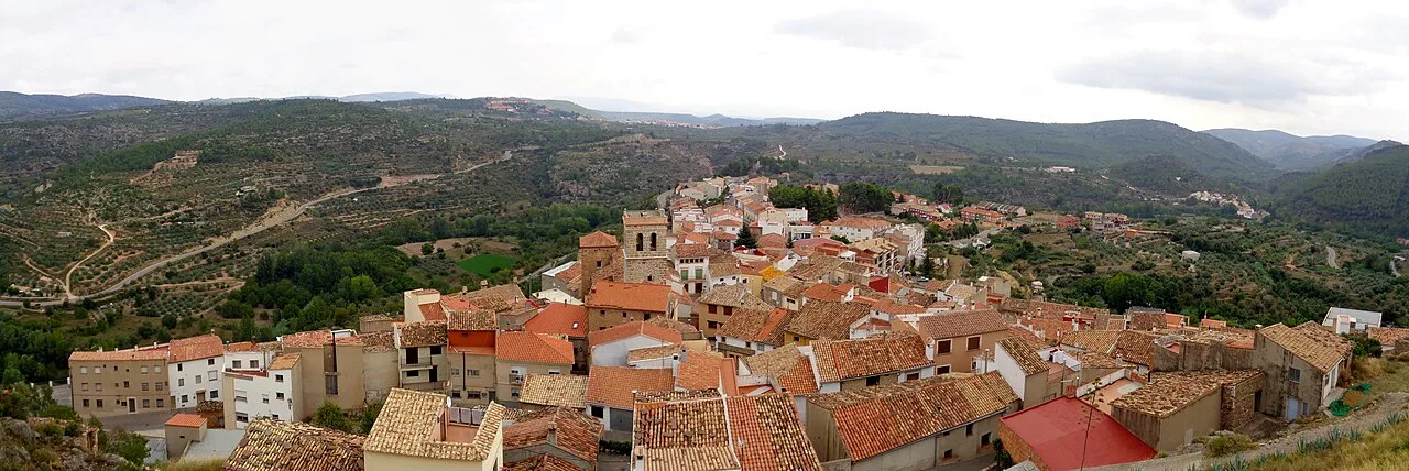
Bejís is a municipality located in the Valencian Community of Spain, within the province of Castellón. Characterized by its mountainous terrain and rich biodiversity, it is home to a small population of around 400 residents.
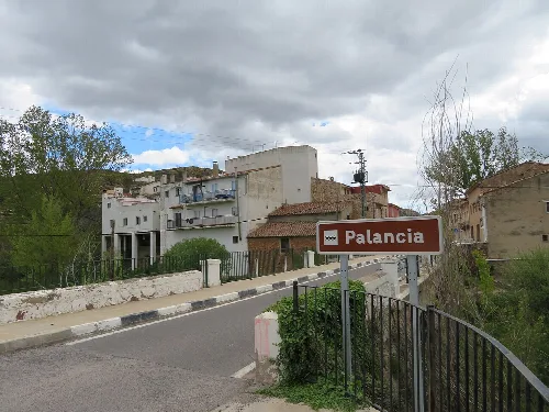
Nestled between the Sierra de El Toro and the Sierra de Andilla, Bejís sits at an elevation of approximately 800 meters. The municipality is characterized by its rugged terrain, surrounded by the Palancia and Canales rivers, and features notable peaks such as La Juliana and La Pericona. This diverse geography supports a variety of flora and fauna, including species like wild boars, foxes, and various birds.
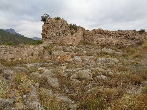
Bejís has a rich historical background, with evidence of human settlements dating back 10,000 years. The town's origins trace back to Roman times, with significant remnants such as an aqueduct. Following the Muslim occupation, it was reconquered in the 13th century and later became part of the Order of Calatrava. The town played a role in various historical conflicts, including the Carlist Wars and the Spanish Civil War.
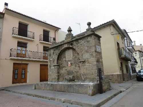
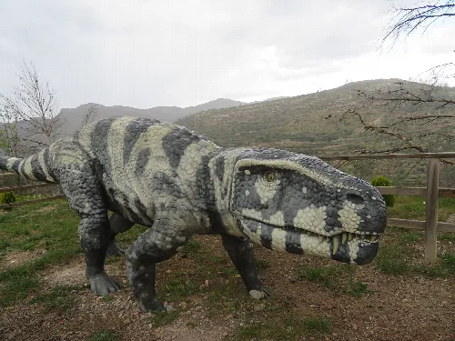
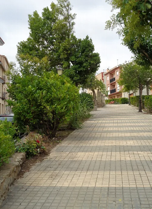
Explore Bejís, a picturesque municipality in Castellón known for its rich history and stunning natural landscapes.
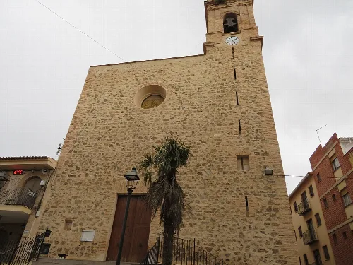
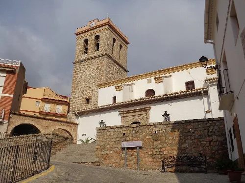
The economy of Bejís has traditionally relied on agriculture and livestock, with historical practices such as snow collection for ice production. In recent years, tourism and bottled water have become significant economic drivers. The municipality also boasts cultural sites like the Ethnological and Archaeological Museum, the Church of Nuestra Señora de los Ángeles, and the restored Roman aqueduct.
Own text, written with AI assistance from the facts in Wikipedia · Bejís · Data: Wikidata Q1772758 · Photos: Wikimedia Commons, see individual licenses. · CC BY-SA 4.0