espana.net
 Mr. Tickle, CC BY-SA 3.0
Castilla–La Mancha
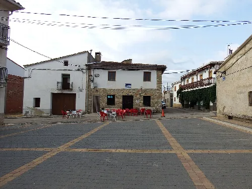
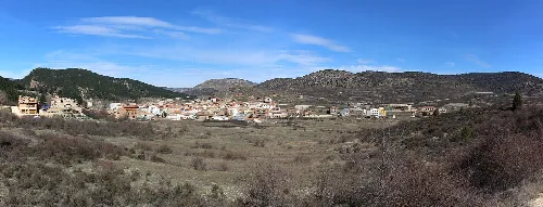
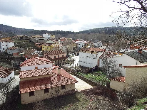
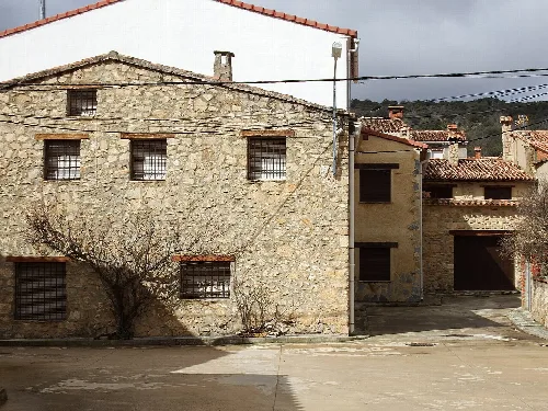
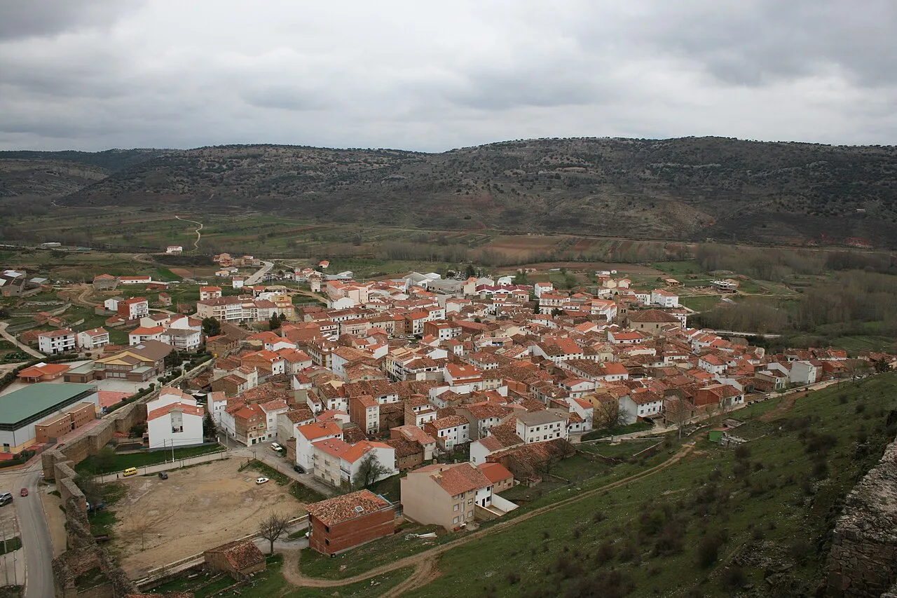
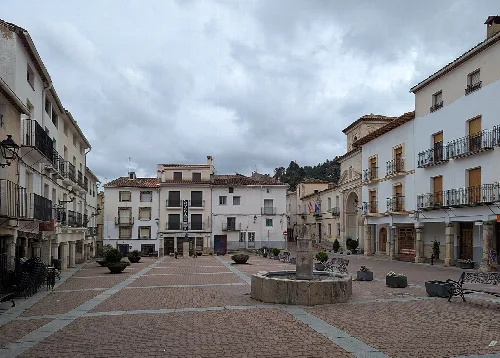
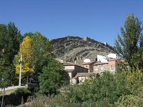
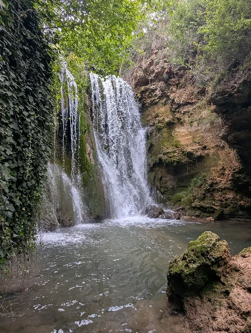
Cañete is a municipality located in the province of Cuenca, within the autonomous community of Castilla-La Mancha. Known for its historical significance and natural beauty, it features a rich cultural heritage and a picturesque landscape defined by the Serranía.
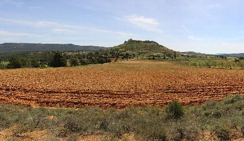
Cañete is situated in the Serranía Baja region, approximately 70 km from the provincial capital. The municipality is traversed by the N-420 national road and several regional roads, facilitating access to nearby areas. The terrain is characterized by notable peaks such as Cabeza de Don Pedro, which is the highest point, and the river system includes the Mayor del Molinillo.
Cañete has a rich history dating back to the Upper Paleolithic, with evidence of human activity in the area. The region saw various settlements, including Celtiberian and Roman, and was fortified during the Muslim occupation in the 10th century. Significant events include its probable conquest during the Reconquista and its role in the Carlist Wars, which led to the construction of defensive structures.
Cañete, a municipality in Cuenca, Castilla-La Mancha, is known for its historical sites and stunning natural landscapes.
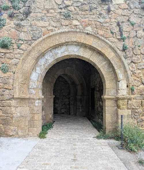
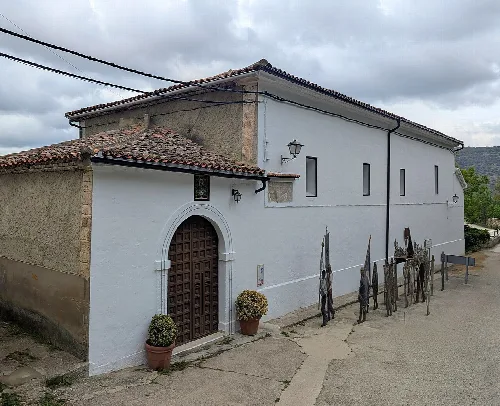
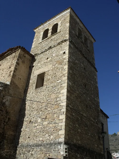
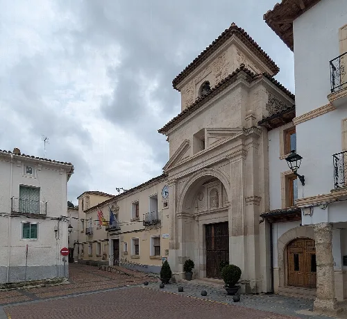
Cañete is home to several notable architectural sites, including the castle of Cañete, which has origins in the Andalusian period and was expanded after the Christian conquest. The town is also surrounded by a historic wall and features several churches, such as the church of Santiago and the chapel of San Julián.
Own text, written with AI assistance from the facts in Wikipedia · Cañete, Cuenca · Data: Wikidata Q1840938 · Photos: Wikimedia Commons, see individual licenses. · CC BY-SA 4.0