espana.net
 19Tarrestnom65, CC BY-SA 4.0
Castilla–La Mancha
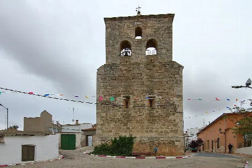
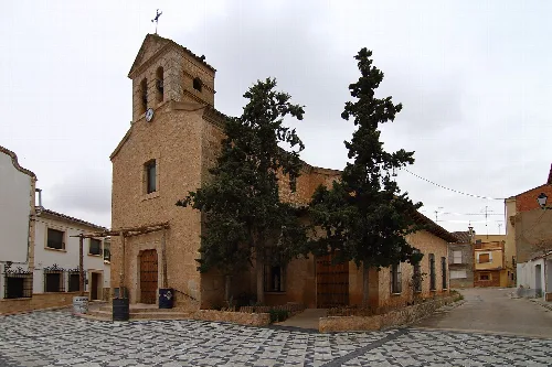
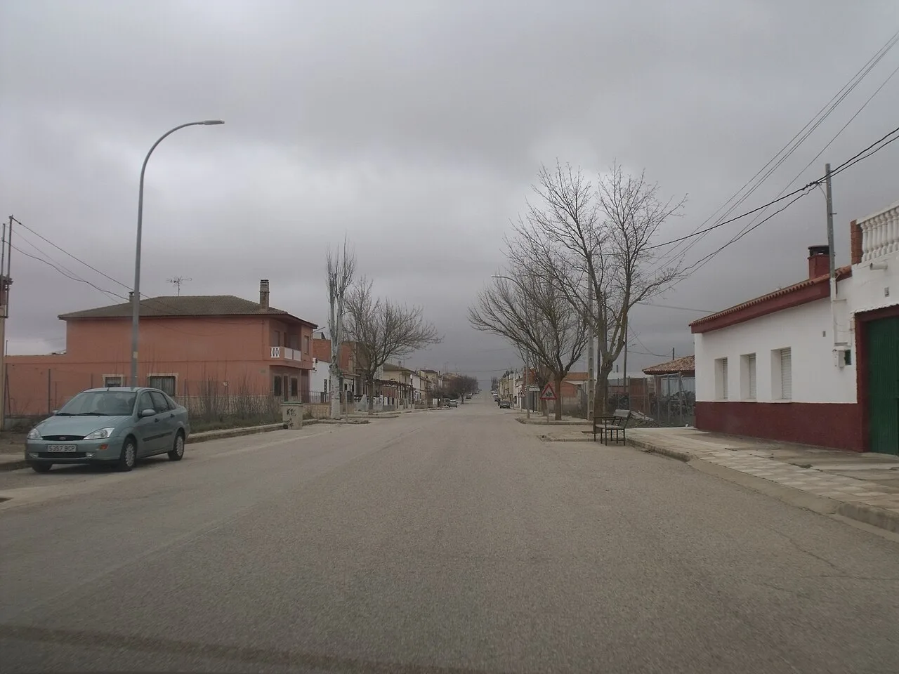
El Herrumblar is a municipality located in the southeast of Cuenca province, within the autonomous community of Castilla-La Mancha. It is characterized by its agricultural economy, particularly in winemaking and olive cultivation, and rich historical roots dating back to prehistoric times.
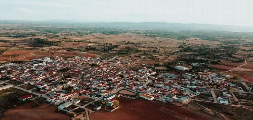
El Herrumblar covers an area of 46 km² and is situated at an average elevation of 74 m. The landscape features flat lands with few elevations in the west, transitioning to rugged hills in the east, where the Mortanchinos area is located. This region is traversed by a stream that feeds into the Cabriel River, and it is bordered by several municipalities, including Villamalea to the south and Venta del Moro to the east.
Archaeological evidence in El Herrumblar dates back to prehistoric times, with findings from the Bronze Age preserved in the Cuenca Archaeological Museum. The area has seen various settlements over the centuries, including Iberian and Roman sites. Tradition holds that El Herrumblar emerged from the merging of several smaller villages, benefiting from fertile lands and water sources.
Explore El Herrumblar, a municipality in Cuenca known for its agriculture and historical significance.
The local economy of El Herrumblar is primarily based on viticulture, with notable wines such as 'Lágrimas de Sauvignon blanc' receiving awards for quality. Olive cultivation is also significant, producing a well-regarded extra virgin olive oil called 'Altos del Cabriel.' The community engages in various cultural festivities throughout the year, reflecting its agricultural heritage and local traditions.
Own text, written with AI assistance from the facts in Wikipedia · El Herrumblar · Data: Wikidata Q1920048 · Photos: Wikimedia Commons, see individual licenses. · CC BY-SA 4.0