espana.net
 Ripeforte, CC BY-SA 4.0
Castilla–La Mancha
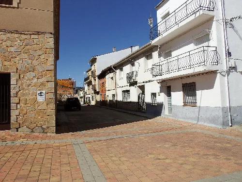
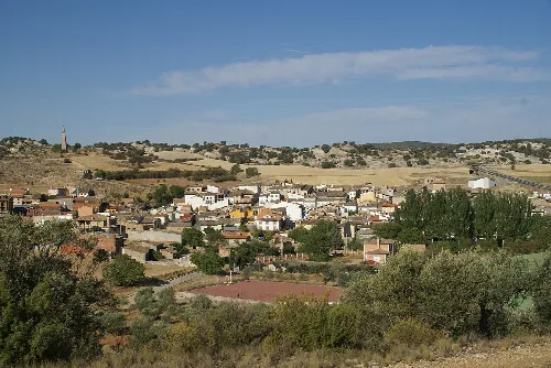
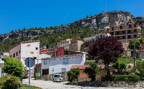
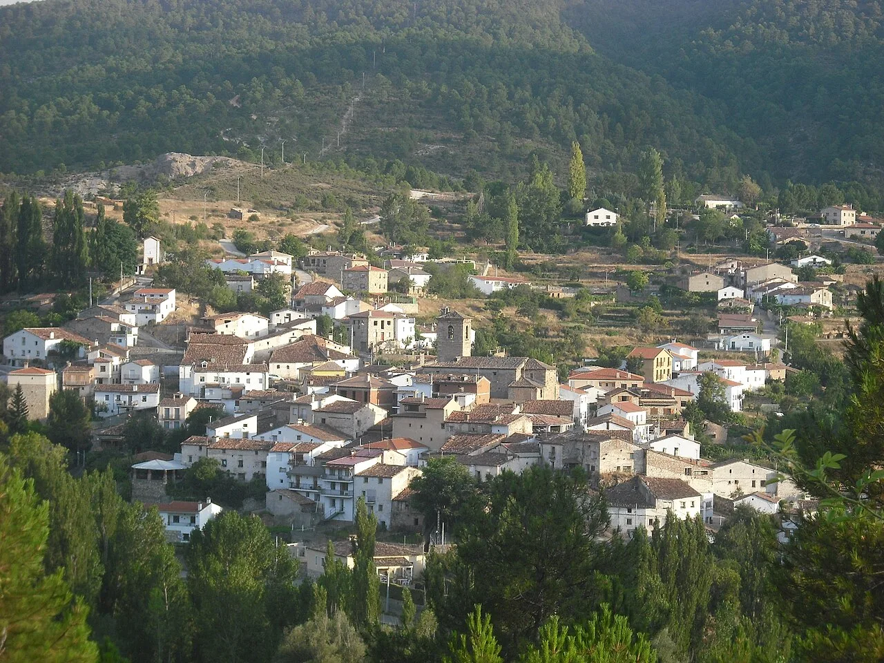
Fuertescusa is a small municipality located in the province of Cuenca, within the autonomous community of Castilla–La Mancha. Characterized by its mountainous terrain and rich natural surroundings, it has a population of just 65 residents.
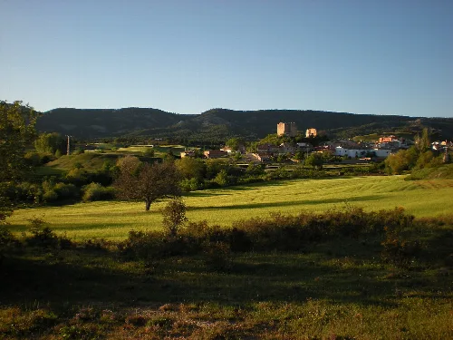
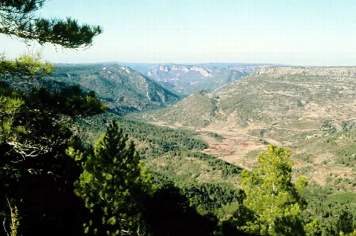
Nestled in the Serranía Alta region, Fuertescusa is situated at an elevation of 998 meters. The municipality is surrounded by dense pine forests and rocky formations, creating a picturesque landscape. The area is traversed by the Escabas River, which is a tributary of the Guadiela River, and features the Peral stream that flows into it. Nearby, the notable Piedra del Castillo rock formation serves as a natural lookout.
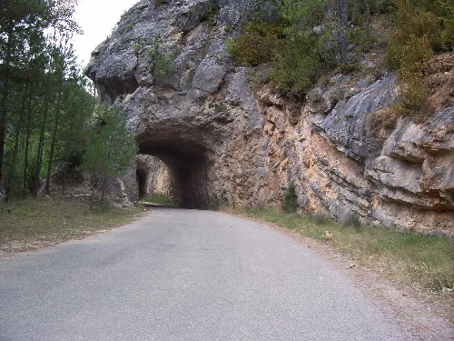
Historically, Fuertescusa had a population of 322 in the mid-19th century. The village is noted in historical texts, including a legend about the nearby 'Puerta del Infierno' where tunnels were excavated in 1928. Workers reported strange noises and shadows during construction, leading to local folklore about spirits inhabiting the area.
Discover Fuertescusa, a serene municipality in Cuenca known for its natural beauty and rich history.
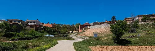
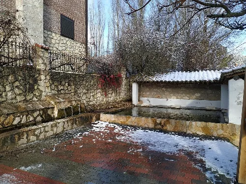
Fuertescusa hosts several local festivals throughout the year, celebrating various religious and cultural events. The municipality also features notable landmarks such as the Church of San Martín and traditional sites like the washhouse and viewpoints that offer scenic vistas.
Own text, written with AI assistance from the facts in Wikipedia · Fuertescusa · Data: Wikidata Q1903149 · Photos: Wikimedia Commons, see individual licenses. · CC BY-SA 4.0