espana.net

 19Tarrestnom65, CC BY-SA 4.0
Castilla–La Mancha
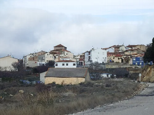
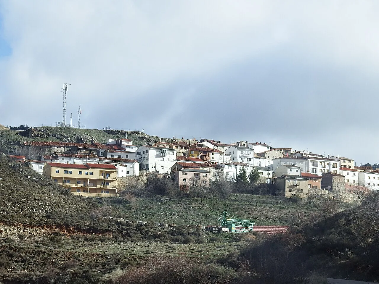
Salvacañete is a municipality located in the province of Cuenca, within the autonomous community of Castilla-La Mancha. Characterized by its mountainous landscape and rich history, it has a small population of around 300 residents.
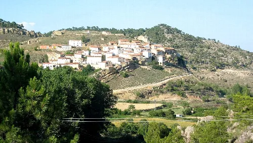
Nestled in the Serranía Baja, Salvacañete is situated at an elevation of 1,209 meters. The municipality is traversed by the national highway N-420 and is surrounded by notable mountains, including Peña del Ocejón and Cruz de los Tres Reinos. The Cabriel River flows through the area, contributing to the diverse landscape that features numerous streams and varying altitudes.
The history of Salvacañete dates back to Roman times, with significant archaeological finds, including a treasure of Roman denarii. During the Middle Ages, it was part of the Marquesado de Moya and gained prominence during the War of Independence against Napoleon. The town has seen various historical events, including guerrilla warfare and banditry in the 19th century.
Salvacañete is a small municipality in Cuenca, Castilla-La Mancha, known for its mountainous terrain and historical significance.
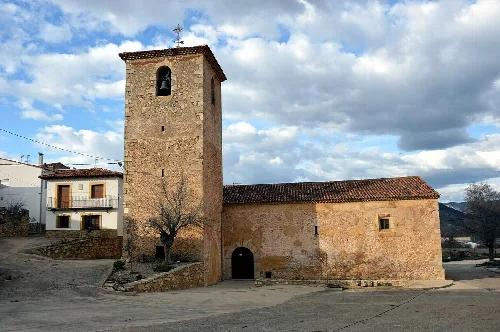
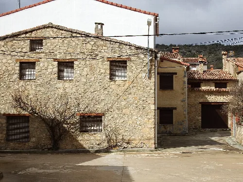
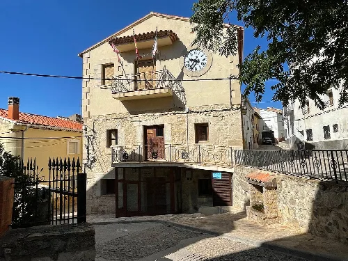
Salvacañete has a rural habitat, reflecting traditional country life. The town features a central round square and houses arranged closely, typical of Castilian towns. However, it has experienced population decline due to migration trends, particularly in the 1960s and 1970s, as many residents moved to larger cities.
Own text, written with AI assistance from the facts in Wikipedia · Salvacañete · Data: Wikidata Q1752006 · Photos: Wikimedia Commons, see individual licenses. · CC BY-SA 4.0