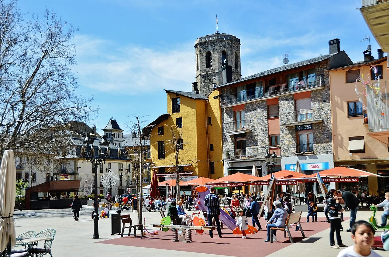
Square with tower and many people in Puigcerdà. Mariarosafg, CC BY-SA 3.0

Puigcerdà

Catalonia

10,035Population
18.90 km²Area
1,202 mElevation
17520Postal code
1178Founded

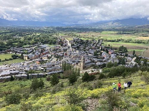
Puigcerdà is a municipality and town in Catalonia, Spain, serving as the capital of the Baixa Cerdanya comarca. Nestled along the Segre River, it is characterized by its mountainous terrain and historical significance as a fortified settlement.

02Geography

Puigcerdà is located in the Cerdanya comarca, approximately 147 km from Girona. The town is traversed by several national roads, including N-260, N-152, and N-154, facilitating access to the region. The municipality features a predominantly mountainous landscape, with the Segre River flowing through it, and the elevation ranges from 1110 m in the valley to 1980 m in the southeastern mountainous areas.

Elevation range
1110 m to 1980 m
River
Segre
Nearby national roads
N-260, N-152, N-154

03History

The origins of Puigcerdà are often attributed to Alfonso II of Aragon around 1178, although evidence suggests earlier habitation. The town was fortified in 1270, and historical documents indicate it had nine gates by 1342. Over the centuries, Puigcerdà faced numerous challenges, including fires and earthquakes, but it also saw significant developments such as the construction of an artificial lake in 1260.

Discover Puigcerdà, a historic town in Catalonia known for its mountainous landscape and rich heritage.

04Climate and Demographics

Puigcerdà experiences a Mediterranean Pyrenean climate, characterized by very cold winters and mild summers. Average winter temperatures range from -3 °C to -6 °C, while summer temperatures can vary from 12 °C to 31 °C. The area receives about 700 mm of precipitation annually, with significant snowfall during winter.
Average winter temperature
-3 °C to -6 °C
Average summer temperature
12 °C to 31 °C
Annual precipitation
700 mm
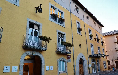
Building with balconies and flowers in Puigcerdá, Girona.
Building with balconies and flowers in Puigcerdá, Girona, that appears to be a hospital.
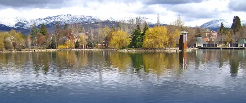
Lake with trees and snow-capped mountains in Puigcerdá, Cerdanya.
Puigcerdá lake in Cerdanya, with trees and snow-capped mountains in the background.
Puigcerdà · Data
Province
Girona
Autonomous community
Catalonia
Population
10,035
Area
18.90 km²
Elevation
1,202 m
Postal code
17520
Founded
1178
Website
http://www.puigcerda.cat
Coordinates
42.4317, 1.9283

Photos

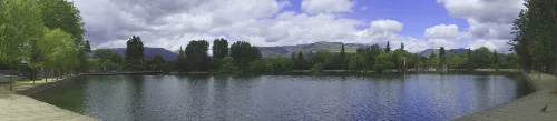
Lake with trees and mountains in the background, in Puigcerdà, Catalonia.
Puigcerdà Lake in Baixa Cerdanya, surrounded by trees and mountains in the background.
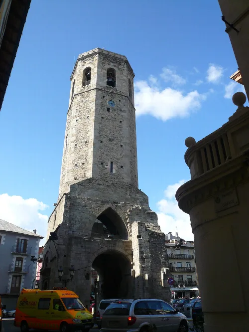
Stone bell tower in Puigcerdà with blue sky and nearby buildings.
Bell tower in Puigcerdà, destroyed in 1936 during the Spanish Civil War.
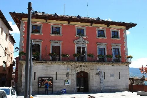
Town hall building with pink facade and balcony in Puigcerdá.
Puigcerdá's town hall in Girona province, with a pink facade and central balcony.
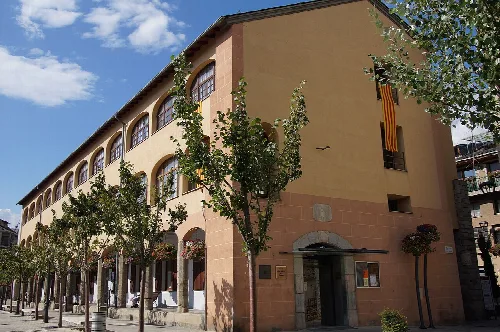
Old building with arches and trees on the sidewalk in Puigcerdà.
Old Sant Domènec Convent in Puigcerdà with trees lining the street.
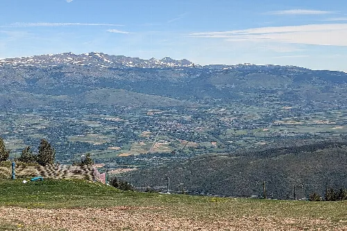
Landscape with mountains and valley, view to the north-east from Puigcerdá.
View to the north-east of Puigcerdá, with mountains and valley in the background.

Map

Nearby

Houses and mountains in Bolvir, Cerdanya.
Bolvir
Girona · 493 inhabitants
Panoramic view of Llívia with the castle and town in the center.
Llívia
Girona · 1,562 inhabitants
View of Coma Oriola canyon and snow-covered mountains at Masella, Girona.
Alp
Girona · 1,724 inhabitants
View of the town of Ger and the valley of Cerdanya, Catalonia.
Ger
Girona · 501 inhabitants

Own text, written with AI assistance from the facts in Wikipedia · Puigcerdà · Data: Wikidata Q13765 · Photos: Wikimedia Commons, see individual licenses. · CC BY-SA 4.0