espana.net
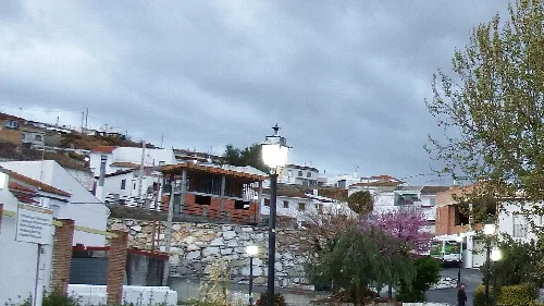
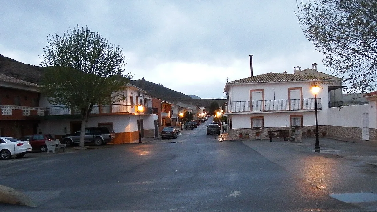 19Tarrestnom65, CC BY-SA 4.0
Andalusia
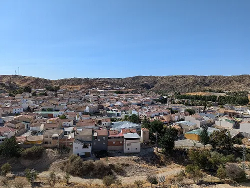
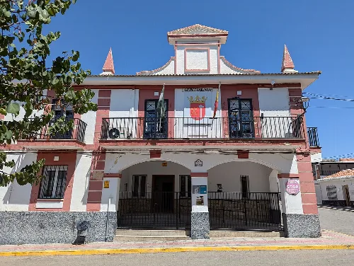
Alicún de Ortega is a municipality located in the northeastern part of the Los Montes comarca in Granada, Andalusia. Characterized by its rich history and cultural heritage, it features notable landmarks and traditional festivities.
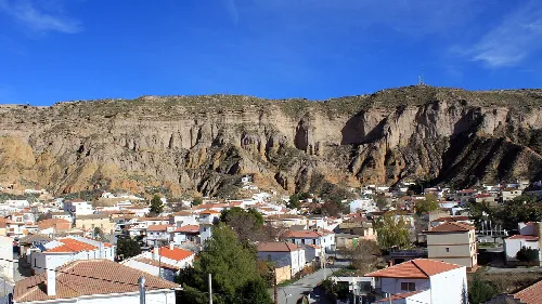
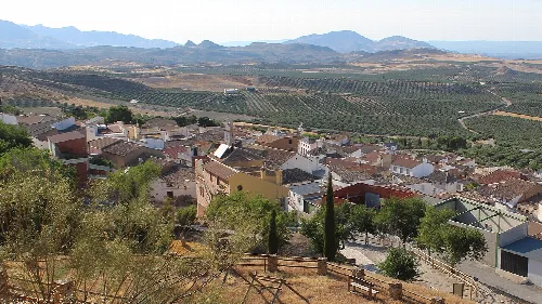
Alicún de Ortega is situated on the eastern slopes of the Montes Orientales, alongside the valley of the Guadahortuna River. The area is part of the Geoparque de Granada, providing a scenic backdrop to the municipality.
The region has been inhabited since prehistoric times, with archaeological findings from various cultures including Neolithic, Iberian, and Roman. It is believed to be associated with the Roman mansio of Acatucci, which played a significant role in historical trade routes.
Discover Alicún de Ortega, a historic municipality in Granada known for its cultural heritage and traditional festivities.
Alicún de Ortega hosts several traditional festivals that reflect its cultural heritage. These events include religious celebrations and community gatherings that foster local identity.
Own text, written with AI assistance from the facts in Wikipedia · Alicún de Ortega · Data: Wikidata Q550664 · Photos: Wikimedia Commons, see individual licenses. · CC BY-SA 4.0