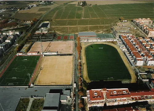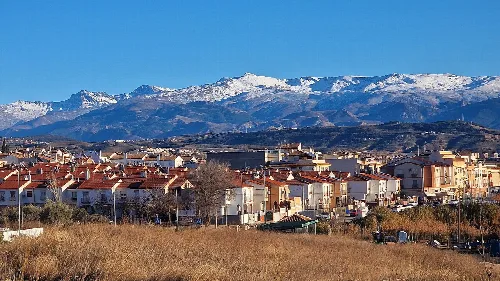
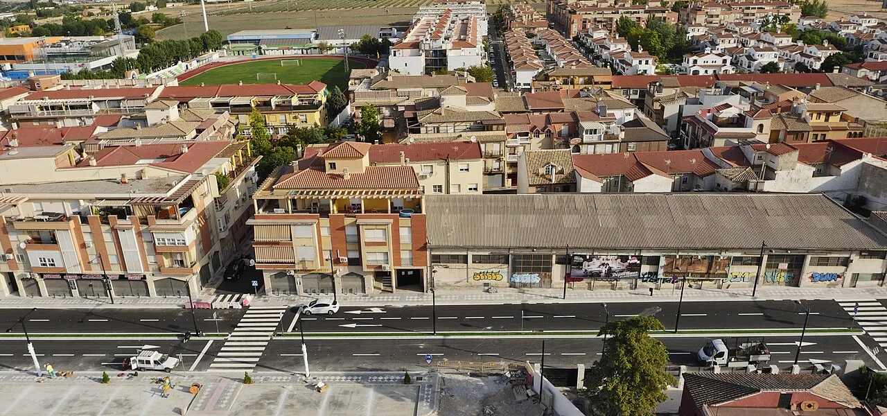
Aerial view of Villasol and the Sports City from the Avenida de Nuestra Señora de los Dolores. Emiliomaracena, CC BY-SA 4.0

Maracena

Andalusia

22,294Population
5 km²Area
66 mElevation
18200Postal code

Maracena is a municipality located in the central part of the Vega de Granada in the province of Granada, Andalusia. Known for its rich history and cultural significance, it is one of the most densely populated areas in the province.

02Geography

Maracena is situated in the central region of the Vega de Granada, at the foothills of the Sierra de la Alfaguara. The municipality has remained unchanged since the Muslim era, with natural boundaries defined by the Barranco de San Jerónimo to the south and the arroyo del Juncaril to the north. The area features a mix of agricultural terraces and alluvial soils, primarily composed of silts and clays.

Patron saint
San Joaquín

03History

The history of Maracena dates back to Roman times, with archaeological evidence suggesting it was an agricultural villa. The first documented references appear in the 9th century with the Arab leader Sauwar ibn Hamdun. The area witnessed significant events during the Reconquista, including battles and the eventual expulsion of the Moriscos in the 16th century, leading to a demographic shift.

Maracena is a densely populated municipality in the Vega de Granada, known for its rich history and cultural events.

04Culture and Festivals

Maracena hosts several cultural events and festivals throughout the year, reflecting its rich traditions. The main celebration occurs from August 13 to 17 in honor of San Joaquín, the city's patron saint. Other significant events include the celebration of the Virgen de los Dolores and the Día de la Cruz on May 3.
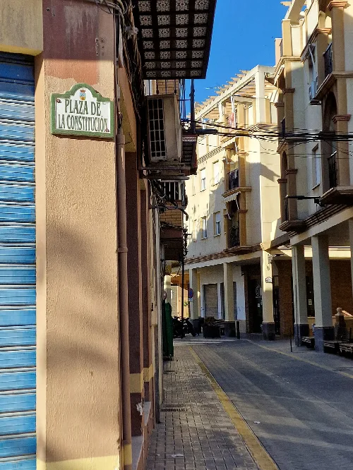
Street view in Maracena with buildings and blue sky.
View of Aljibe street at Plaza de la Constitución, in Maracena, with modern buildings and clear sky.
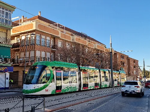
Green metro train on the street in Maracena, Granada
Granada Metro train passing along Doctor López-Cantarero Ballesteros avenue in Maracena

05Demographics and Economy

With a population of 22,294, Maracena is one of the most densely populated municipalities in Granada. The local economy has evolved from traditional agriculture to a more diverse economic base, influenced by its proximity to Granada and the influx of residents from various regions.
Number of schools
Four public schools, one concerted school, two public institutes, and two municipal kindergartens
Health facilities
One primary health center
Maracena · Data
Province
Granada
Autonomous community
Andalusia
Population
22,294
Area
5 km²
Elevation
66 m
Postal code
18200
Website
http://www.maracena.es/
Coordinates
37.2075, -3.6331

Photos

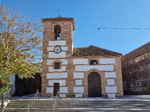
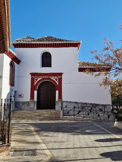
White church with large door and arch at the entrance, in Maracena.
View of the Annunciation Church in the Plaza de la Constitución, in Maracena, Granada.
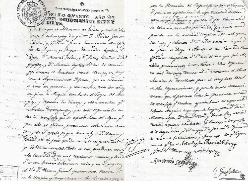
Old handwritten document with official seal.
1817 document showing the distribution of cleaning costs for water tanks in Maracena, with residents' names.
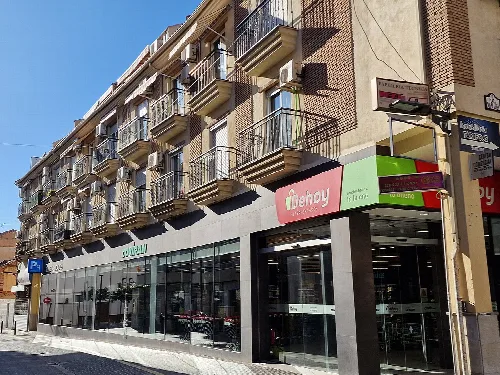
Covirán supermarket on Horno street with balconies on the building above.
Covirán supermarket on Horno street in Maracena, with multiple floors and balconies on the nearby building.
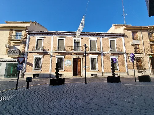
School building with stone facade and barred windows, in a square with sculptures and traffic signs.
Sagrado Corazón School on Horno Street in Maracena, Granada, with a clear blue sky in the background.
Aerial image of football fields and sports areas in Maracena.
Aerial view of the Sports City of Maracena, with football fields and other sports facilities.

Map

Nearby

View of Peligros town with snow-capped mountains in the background
Peligros
Granada · 11,725 inhabitants
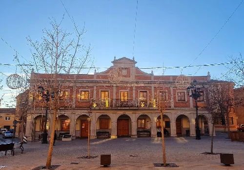
Albolote town hall building with arches and balconies.
Albolote
Granada · 19,768 inhabitants
Vista de la Iglesia de la Inmaculada Concepción, en la localidad de Jun (provincia de Granada, España).
Jun
Granada · 4,103 inhabitants
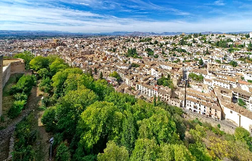
Panoramic view of Granada from the Alhambra with trees and city.
Granada
Granada · 233,975 inhabitants

Own text, written with AI assistance from the facts in Wikipedia · Maracena · Data: Wikidata Q583032 · Photos: Wikimedia Commons, see individual licenses. · CC BY-SA 4.0