espana.net
 Lopezsuarez, CC0
Andalusia
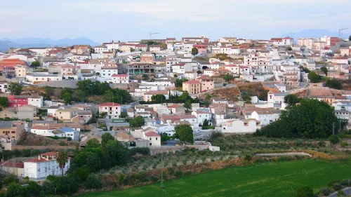
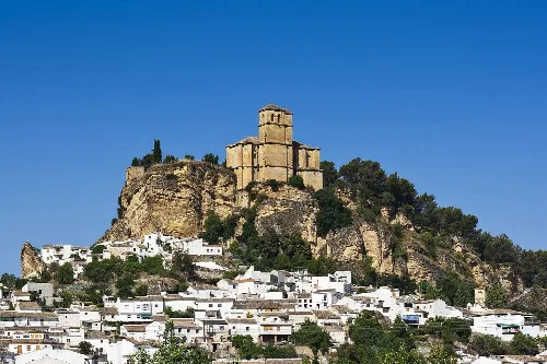
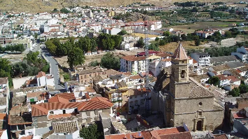
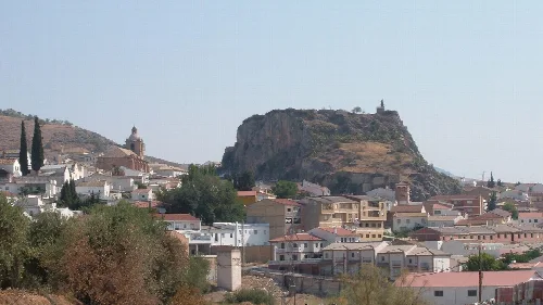
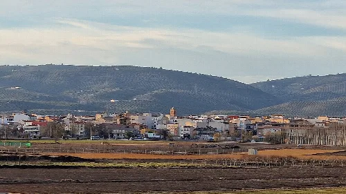
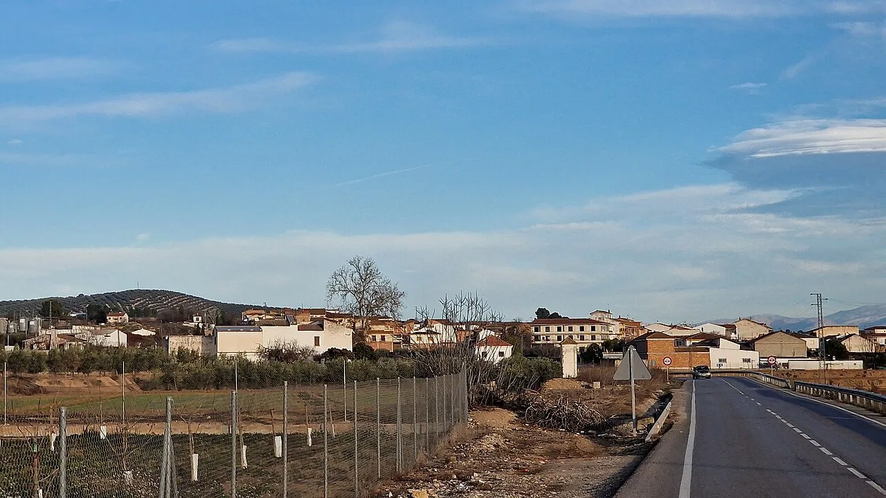
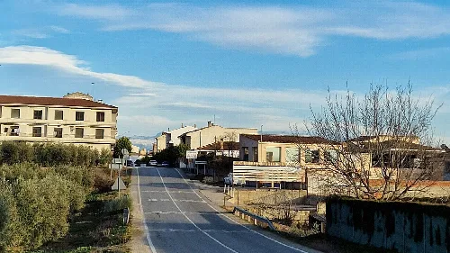
Villanueva Mesía is a municipality located in the central part of the Loja comarca in Granada, Andalusia. Known for its rich agricultural landscape and historical significance, it features a population of approximately 1,965 residents.
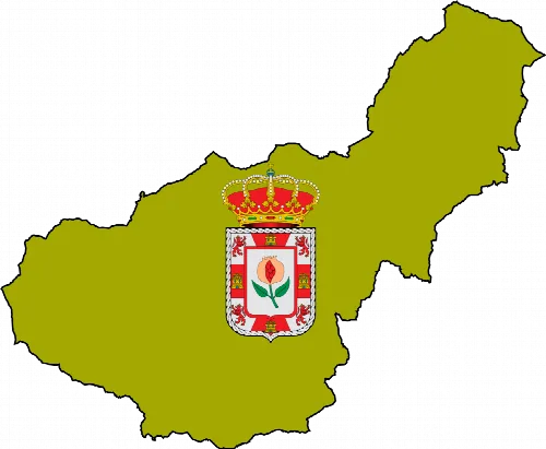
Villanueva Mesía is situated within the Loja comarca, bordered by several municipalities including Huétor Tájar and Montefrío. The area is characterized by its Mediterranean continental climate, which features cool winters and hot summers, with significant temperature fluctuations throughout the year.
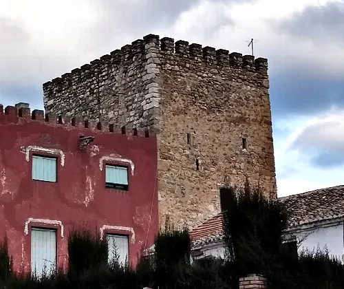
The history of Villanueva Mesía dates back to prehistoric times, with evidence of Neanderthal habitation. The area has seen various cultures, including Iberians, Phoenicians, Romans, Visigoths, and Muslims, shaping its development. The current settlement is believed to have originated from an early Arab Venta.
Villanueva Mesía is a municipality in Granada, Andalusia, known for its agriculture and historical significance.
Villanueva Mesía hosts several cultural celebrations throughout the year, reflecting its local traditions. The festivities include religious observances and agricultural fairs, showcasing the community's heritage and agricultural products.
Own text, written with AI assistance from the facts in Wikipedia · Villanueva Mesía · Data: Wikidata Q619685 · Photos: Wikimedia Commons, see individual licenses. · CC BY-SA 4.0