espana.net
 CLASE DE 4A, CC BY-SA 4.0
Castilla–La Mancha
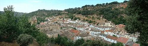
Brihuega is a municipality in the province of Guadalajara, located in the autonomous community of Castilla–La Mancha. Known for its rich history and beautiful landscapes, it is traversed by the Tajuña River and features a variety of smaller localities within its territory.
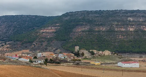
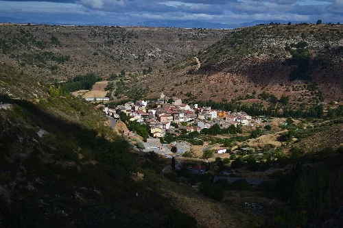
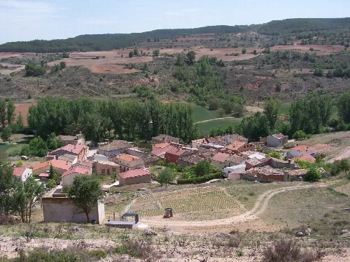
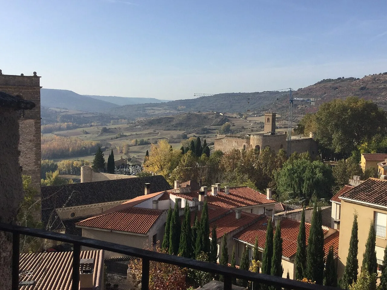
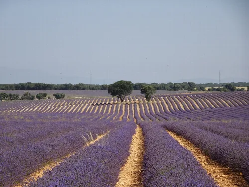
The town of Brihuega is situated at an elevation of 876 meters above sea level, on a plateau along the Tajuña River in the La Alcarria region. It is approximately 32 kilometers from the provincial capital and encompasses several smaller localities, including Archilla, Balconete, and Villaviciosa de Tajuña. The municipality is bordered by various other municipalities, featuring beautiful forests of holm oak and oak trees.
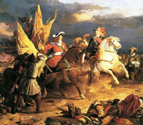
Brihuega's origins trace back to a Celtiberian settlement known as Brioca. It gained prominence during the reign of Al-Mamún of Toledo, who hosted Alfonso VI after his defeat in 1072. The town was strategically important during the Christian campaigns to capture Toledo, culminating in its incorporation into the Kingdom of Castile in 1085. Over the centuries, Brihuega witnessed significant historical events, including battles during the War of Succession and the Spanish Civil War.
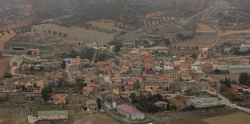
Brihuega is a historic municipality in Guadalajara, Castilla–La Mancha, known for its scenic landscapes and cultural heritage.
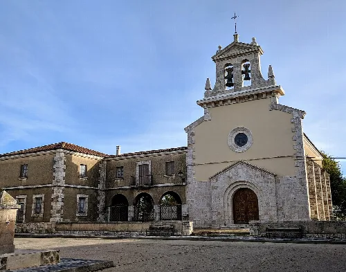
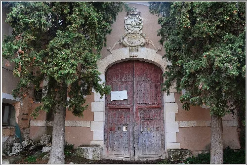
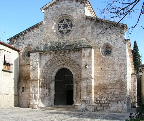
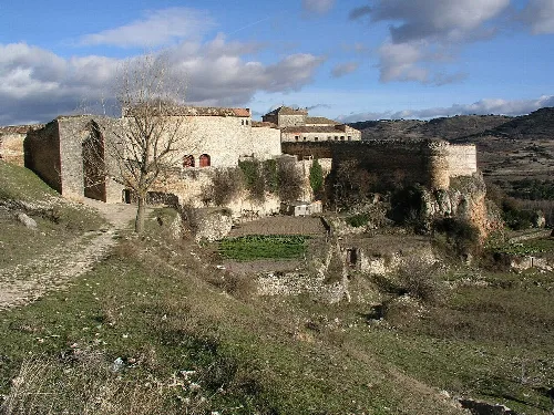
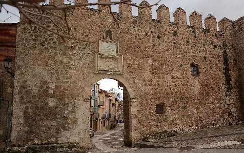
Brihuega's historical center was declared a historic-artistic site in 1973, showcasing its rich architectural heritage. Notable structures include three 13th-century churches, remnants of ancient walls, and the castle of Brihuega. The town also features a 16th-century rollo, symbolizing its jurisdiction, and various literary references highlight its cultural significance.
Own text, written with AI assistance from the facts in Wikipedia · Brihuega · Data: Wikidata Q52615 · Photos: Wikimedia Commons, see individual licenses. · CC BY-SA 4.0