espana.net
 Diego Delso, CC BY-SA 4.0
Castilla–La Mancha
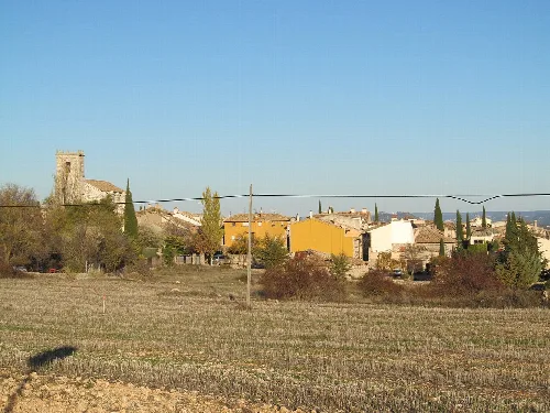
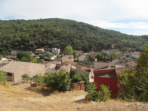
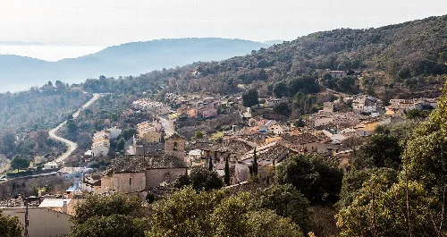
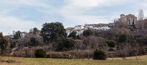
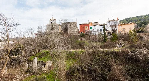
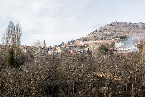
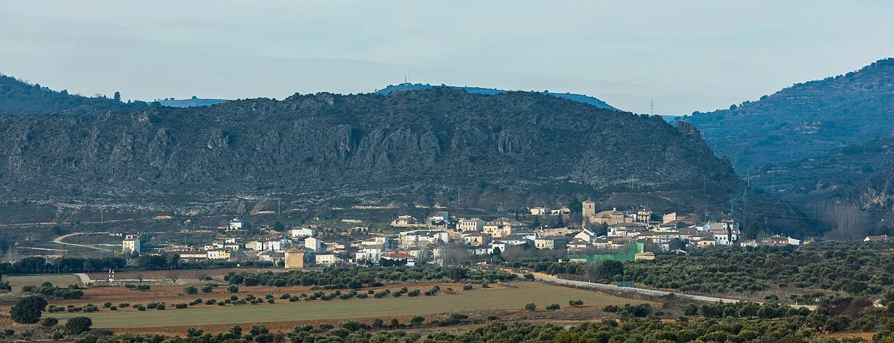
Durón is a municipality located in the province of Guadalajara, within the autonomous community of Castilla–La Mancha. Characterized by its unique geographical features and historical significance, it has a small population of 108 residents.
Durón is situated at the confluence of several watercourses, which have carved deep ravines in the landscape. The area is located at the boundary between the Alcarria plateau and the banks of the Tagus River, now partially submerged by the Entrepeñas reservoir. The local climate is Mediterranean, supporting various crops, including cherry trees, and remnants of an abandoned gypsum quarry can be found nearby.
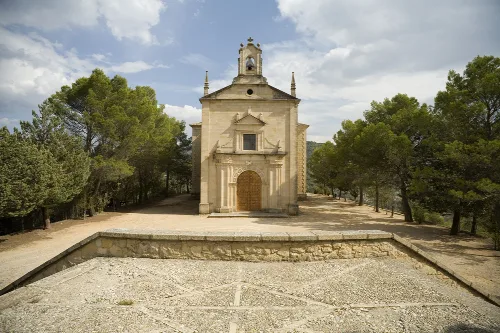
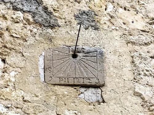
The history of Durón dates back to the early 12th century when it became part of the alfoz of Atienza. In 1437, King Juan II of Castile granted its jurisdiction to his advisor, Gómez Carrillo. The village features several historical houses from the 16th to 18th centuries, and it is believed that a Templar convent once existed at the site of the current hermitage of Santo Domingo de Guzmán.
Discover Durón, a small municipality in Guadalajara, Castilla–La Mancha, known for its unique geography and rich history.
With a current population of 108, Durón has experienced significant demographic changes over the centuries. Historical records indicate that the population was much larger in the 18th century, with 175 households recorded in 1752. The village has sought to establish its identity through the creation of a municipal coat of arms, reflecting its historical lineage.
Own text, written with AI assistance from the facts in Wikipedia · Durón · Data: Wikidata Q544635 · Photos: Wikimedia Commons, see individual licenses. · CC BY-SA 4.0