espana.net
 Dapasa, CC BY-SA 3.0 es
Castilla–La Mancha
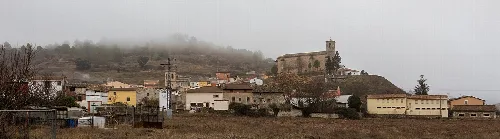
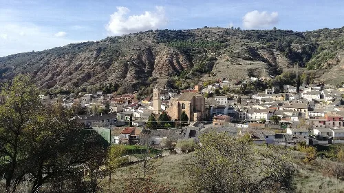
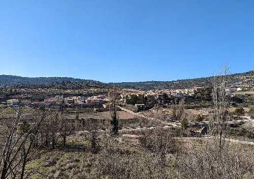
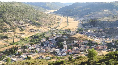
Fuentelencina is a municipality located in the province of Guadalajara, within the autonomous community of Castilla–La Mancha. Characterized by its agricultural landscape and historical significance, it features a rich heritage and traditional festivities.
Fuentelencina is situated in the La Alcarria comarca, approximately 40 kilometers from the provincial capital. The municipality lies at an elevation of 972 meters in a high plateau that separates the Tajo and Tajuña rivers. The area is crossed by several roads, including the N-320 and various regional routes, and features a continental climate with cold winters and warm summers.
Fuentelencina has historical roots dating back to the 12th century when it was part of the Order of Calatrava. In 1369, it was granted the status of a village by King Enrique II of Trastámara, following a request from one of its masters. The village was known for its weekly fair, established in the 13th century, which thrived until a plague in the 16th century significantly reduced its population.
Fuentelencina, a municipality in Guadalajara, is known for its agricultural landscape and historical heritage.
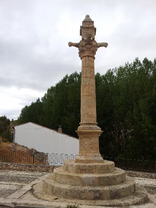
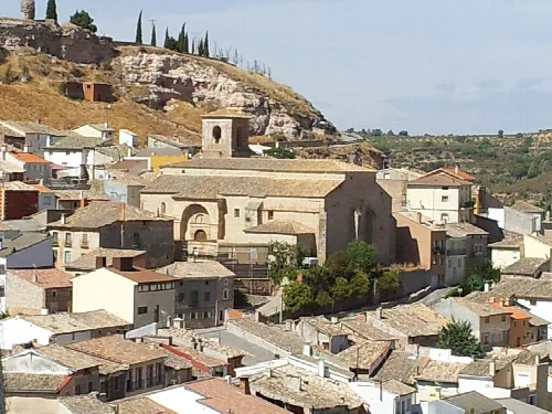
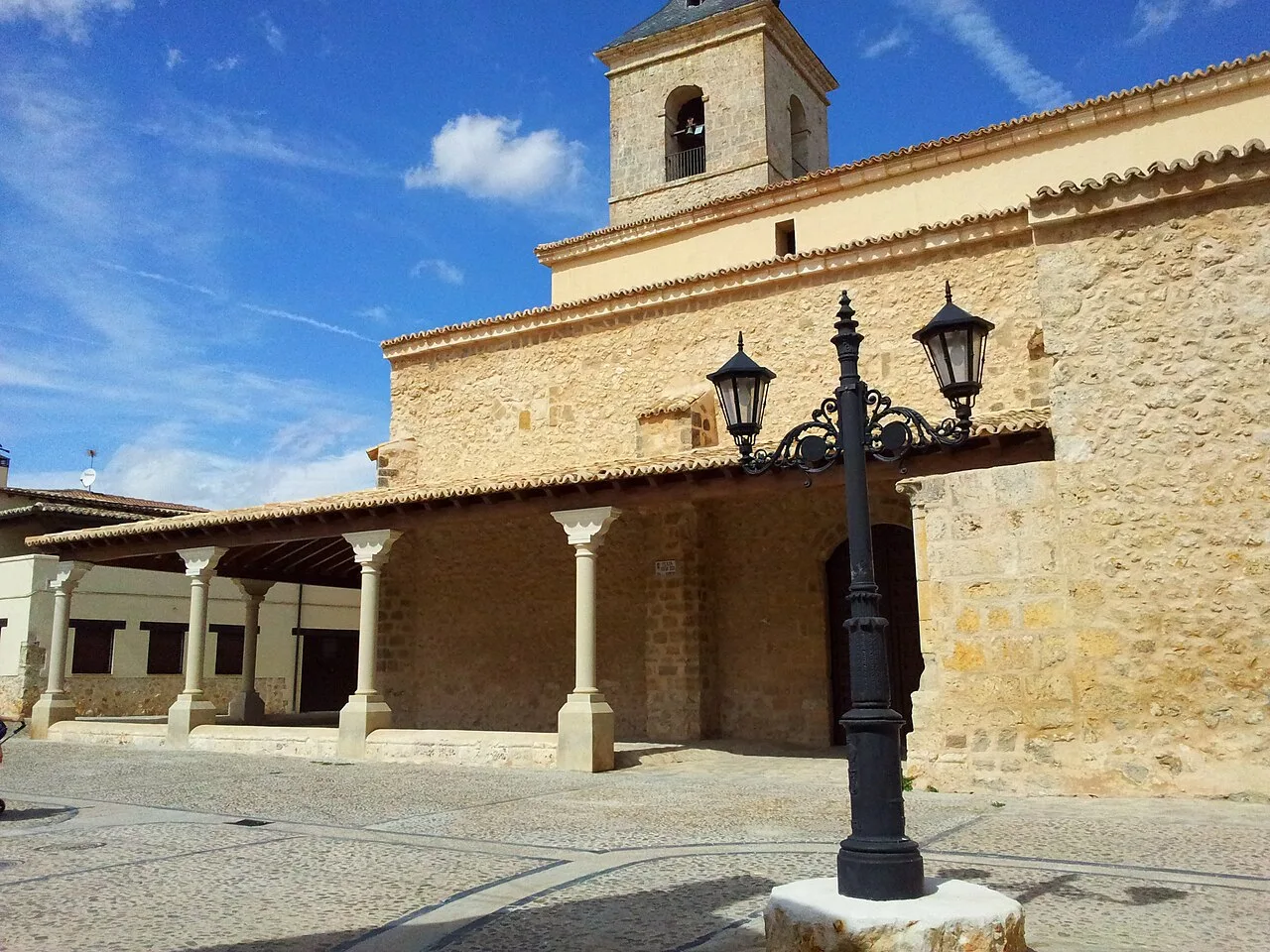
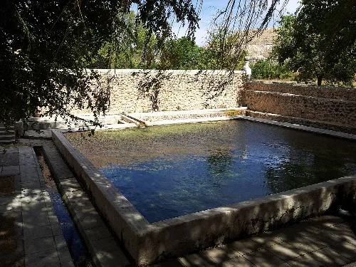
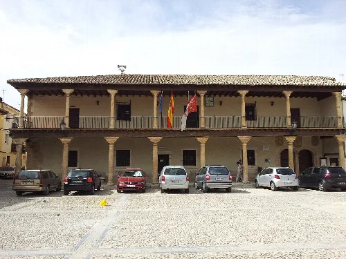
The municipality boasts several notable landmarks, including the Casa consistorial, a 16th-century town hall, and the medieval Fuente de Abajo, which is believed to have inspired the town's name. The Church of the Assumption of Our Lady and remnants of ancient walls also contribute to its historical significance.
Own text, written with AI assistance from the facts in Wikipedia · Fuentelencina · Data: Wikidata Q1645691 · Photos: Wikimedia Commons, see individual licenses. · CC BY-SA 4.0