espana.net
 Diego Delso, CC BY-SA 4.0
Castilla–La Mancha
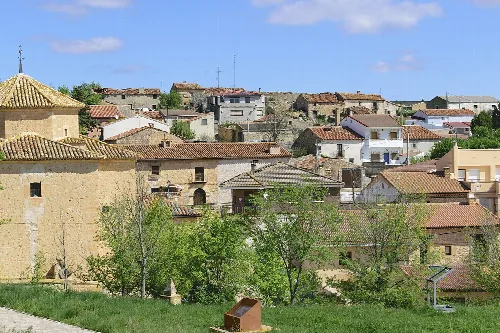
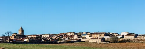
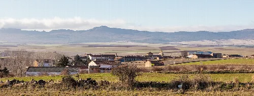
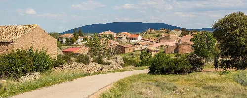
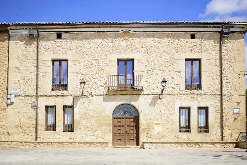
Tortuera is a municipality located in the province of Guadalajara, within the autonomous community of Castilla–La Mancha. Characterized by its semi-arid climate and rich agricultural history, it has a small population and a unique blend of historical architecture.
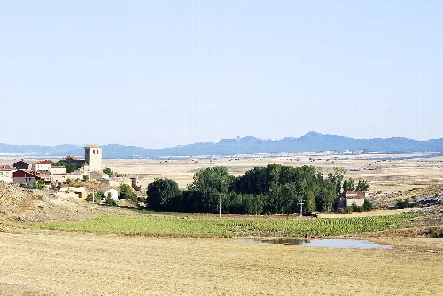
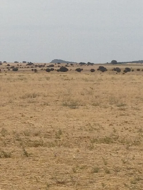
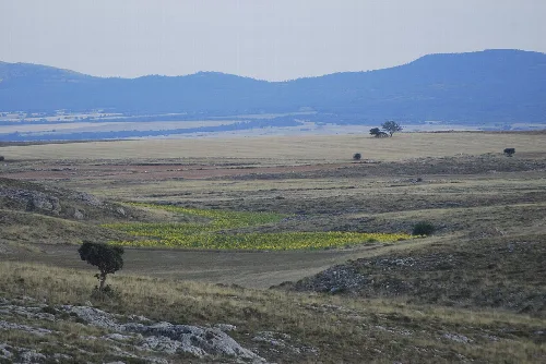
Tortuera is situated in a region historically integrated into the Señorío de Molina, characterized by its relatively flat terrain with minimal elevation changes. The area experiences a semi-arid climate, with annual rainfall below 500 mm and significant temperature variations. The landscape is predominantly covered with low shrubs, with some oak and juniper trees, and is part of the Ebro river basin, featuring limited water sources concentrated in ravines and lagoons.
Archaeological findings suggest that the area around Tortuera was inhabited during the Final Bronze Age, with evidence of Iron Age settlements as well. The current municipality likely formed in the 12th century, following the military campaigns of Alfonso I of Aragón. Over the centuries, Tortuera evolved into an agricultural hub, benefiting from its strategic location along trade routes.
Tortuera is a small municipality in Guadalajara, Castilla–La Mancha, known for its agricultural heritage and historical architecture.
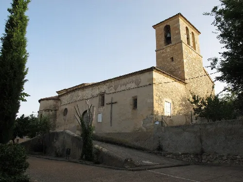
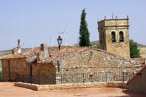
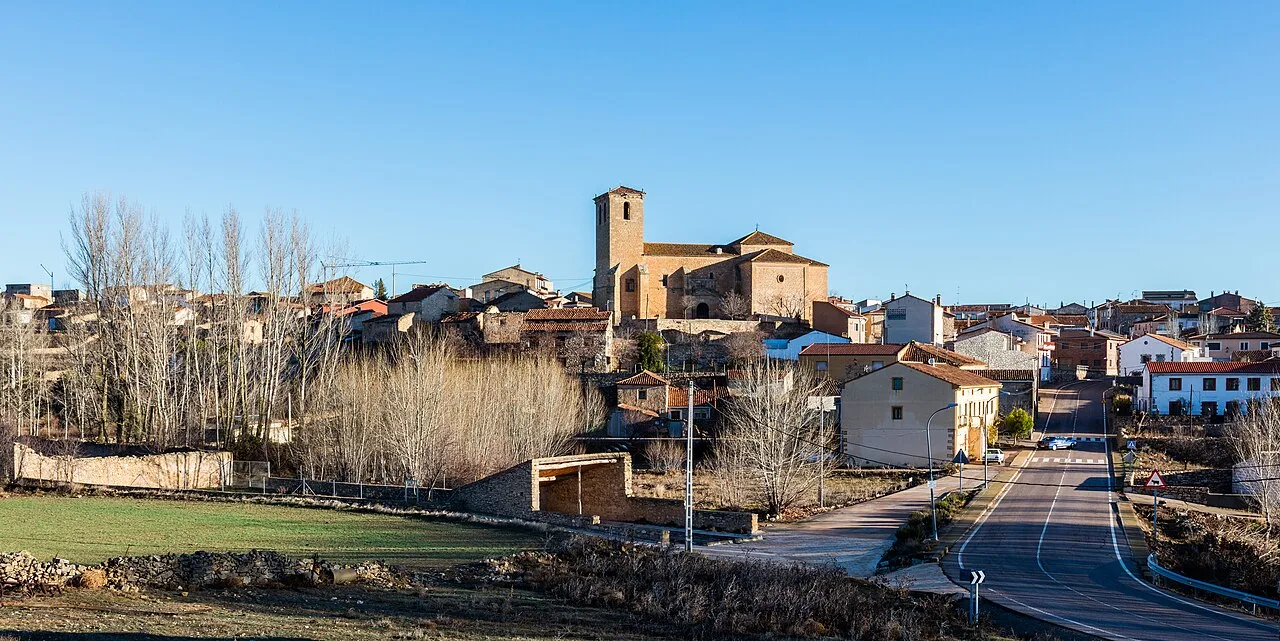
The economy of Tortuera is primarily based on dryland agriculture and livestock farming, with some small-scale irrigation farms. The area has also seen a rise in rural tourism, attracted by its natural beauty and historical sites, including the notable Iglesia Parroquial dedicated to San Pedro.
Own text, written with AI assistance from the facts in Wikipedia · Tortuera · Data: Wikidata Q1656964 · Photos: Wikimedia Commons, see individual licenses. · CC BY-SA 4.0