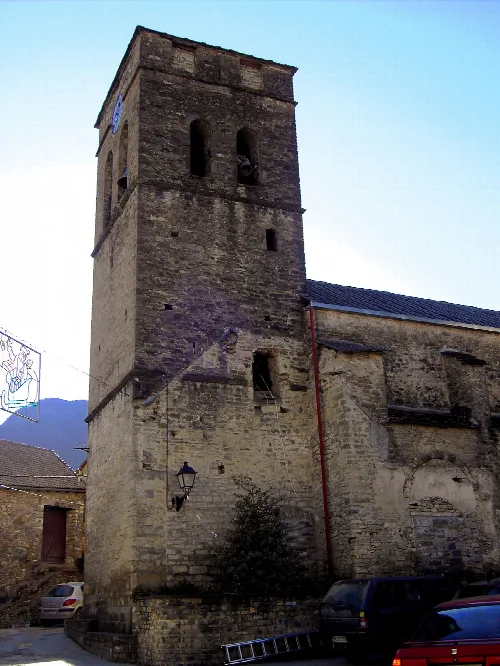
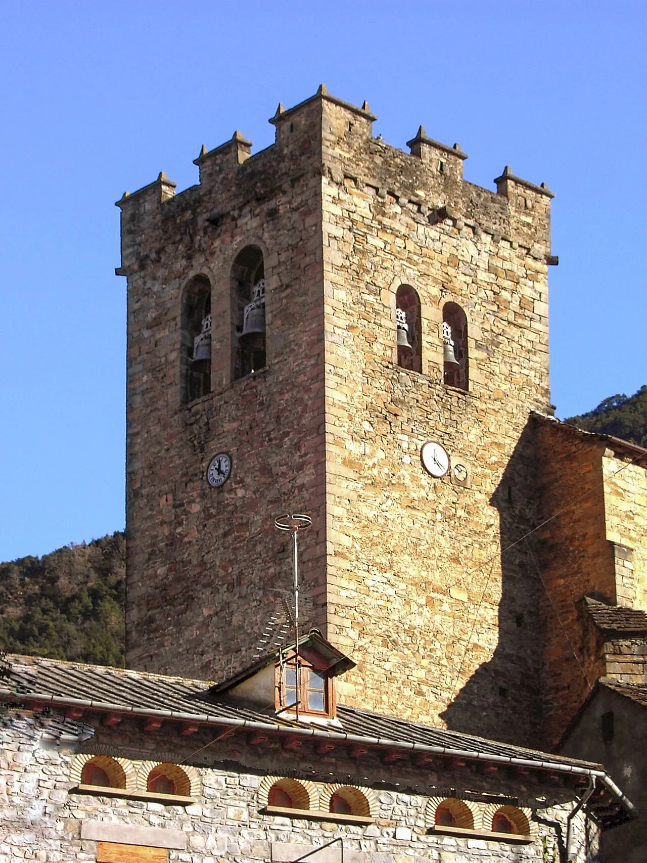
Stone church bell tower with clock and windows in Broto. Juan R. Lascorz, CC BY-SA 3.0

Broto

Aragon

615Population
128.05 km²Area
905 mElevation
22370Postal code

Broto is a municipality located in the Sobrarbe comarca of Huesca, Aragon, known for its picturesque valleys and historical significance. The village serves as a natural hub for the surrounding area, featuring traditional institutions and a rich cultural heritage.

02Geography

Broto is situated within the Sobrarbe comarca, approximately 90 kilometers from the provincial capital. The municipality is characterized by the Broto Valley, through which the Ara River flows, alongside the Chate ravine and the surrounding Pyrenees mountains. The elevation varies from 770 meters by the river to 2137 meters at Punta Estatón.

Elevation range
770 m to 2137 m
Main river
Ara
Nearby road
N-260a

03History and Local Governance

Historically, Broto has been a significant location since at least 1076, with its population recorded in 1488. The village was the center of the Conzello de Broto, a governing body for local communities, which still functions today, albeit with reduced powers. The Conzello convened in a building that once served as a prison, where notable engravings by inmates can still be seen.

Broto is a charming municipality in Huesca, Aragon, known for its valleys and historical significance.

04Festivals and Culture

Broto hosts several traditional festivals throughout the year, reflecting its cultural heritage. The Fiesta Mayor in October honors the Virgen del Rosario, featuring a unique dance called Palotiau. Other celebrations include a winter festival for San Blas and various romerías to local hermitages.
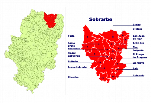
Map of Sobrarbe in Huesca with Broto in the top left corner.
Map of Sobrarbe comarca in Huesca, with Broto in the top left corner.
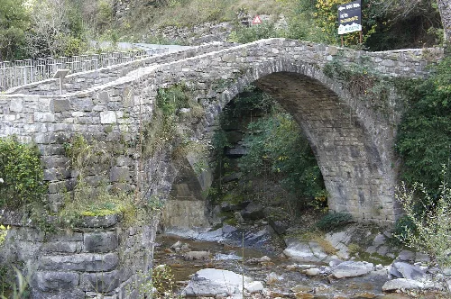
Stone arch bridge over a river in Broto.
Oto Bridge over the Sorrosal Gorge in Broto, a stone arch bridge crossing a river surrounded by greenery.
Broto · Data
Province
Huesca
Autonomous community
Aragon
Population
615
Area
128.05 km²
Elevation
905 m
Postal code
22370
Website
https://www.broto.es/
Coordinates
42.6038, -0.1190

Photos

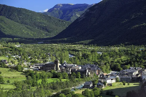
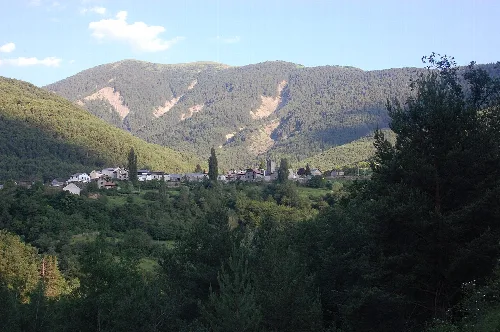
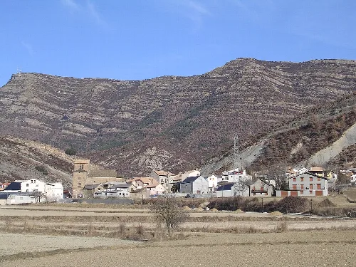
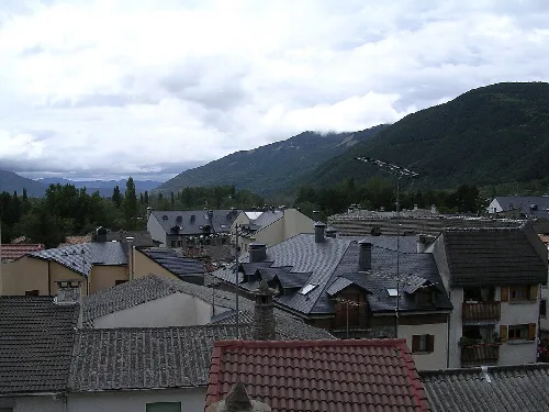
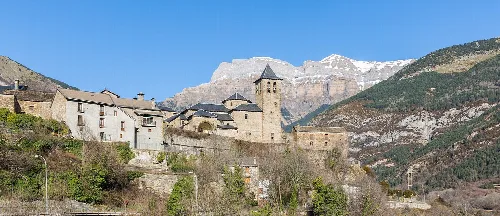
Panoramic view of Broto valley with mountains and houses in the village.
View of Broto valley from the road to Torla, with houses and nature surrounding the village.
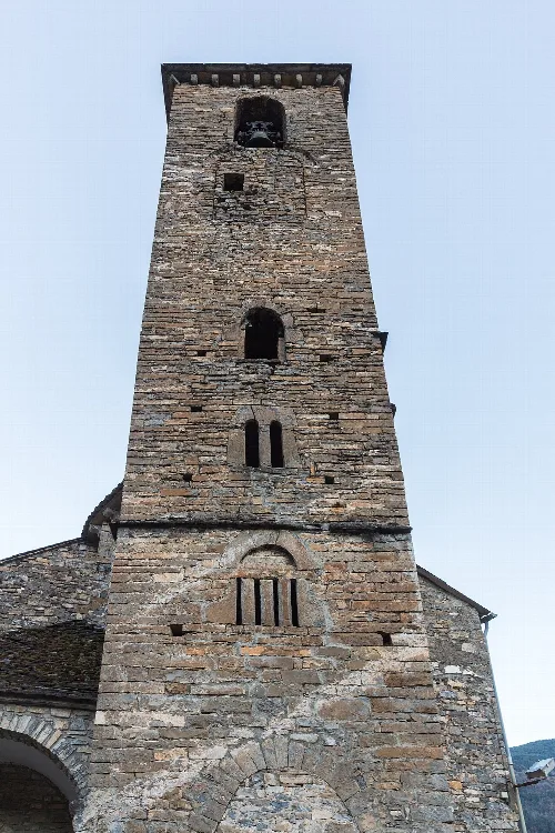
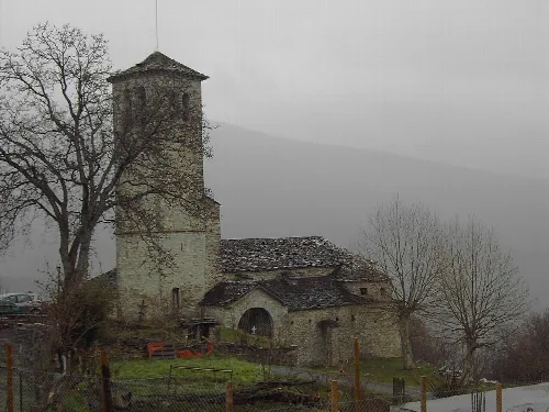
Stone church tower with bell tower at the top.
The tower of San Saturnino Church in Oto, Huesca, made of stone with a bell tower at the top.
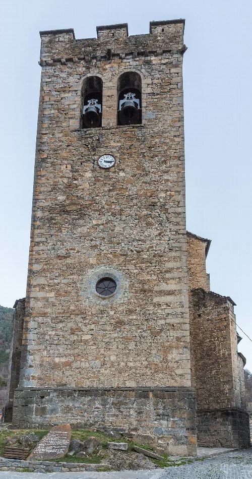
Stone bell tower with clock in Broto.
The bell tower of San Pedro Church in Broto, with bells and a clock at the top.
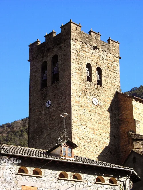
Stone bell tower with battlements and bells in Broto, Huesca.
Bell tower of the fortified church of Broto, from the 16th century, used for defense and worship in the Pyrenean village.
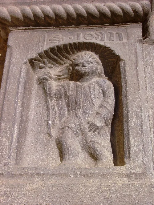
Carved depiction of Saint John on the church portal.
Carved depiction of Saint John on the lintel of San Pedro church in Broto.

Map

Nearby

Iglesia de Fanlo, en la comarca oscense de Sobrarbe, vista bajo la ventisca. Aguanieve en Abril; se cumple el dicho local "En Fanlo, la nieve de octubre a mayo".
Fanlo
Huesca · 114 inhabitants
Campanario de Fiscal (Huesca).
Fiscal
Huesca · 358 inhabitants
Houses and rooftops in Biescas with mountains and cloudy sky.
Biescas
Huesca · 1,640 inhabitants

Own text, written with AI assistance from the facts in Wikipedia · Broto · Data: Wikidata Q1752817 · Photos: Wikimedia Commons, see individual licenses. · CC BY-SA 4.0