espana.net
 Basotxerri, CC BY-SA 4.0
Aragon
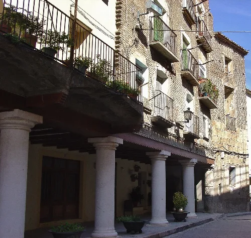
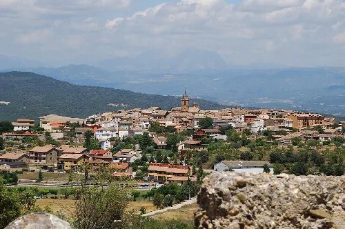
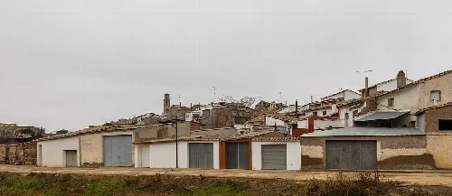
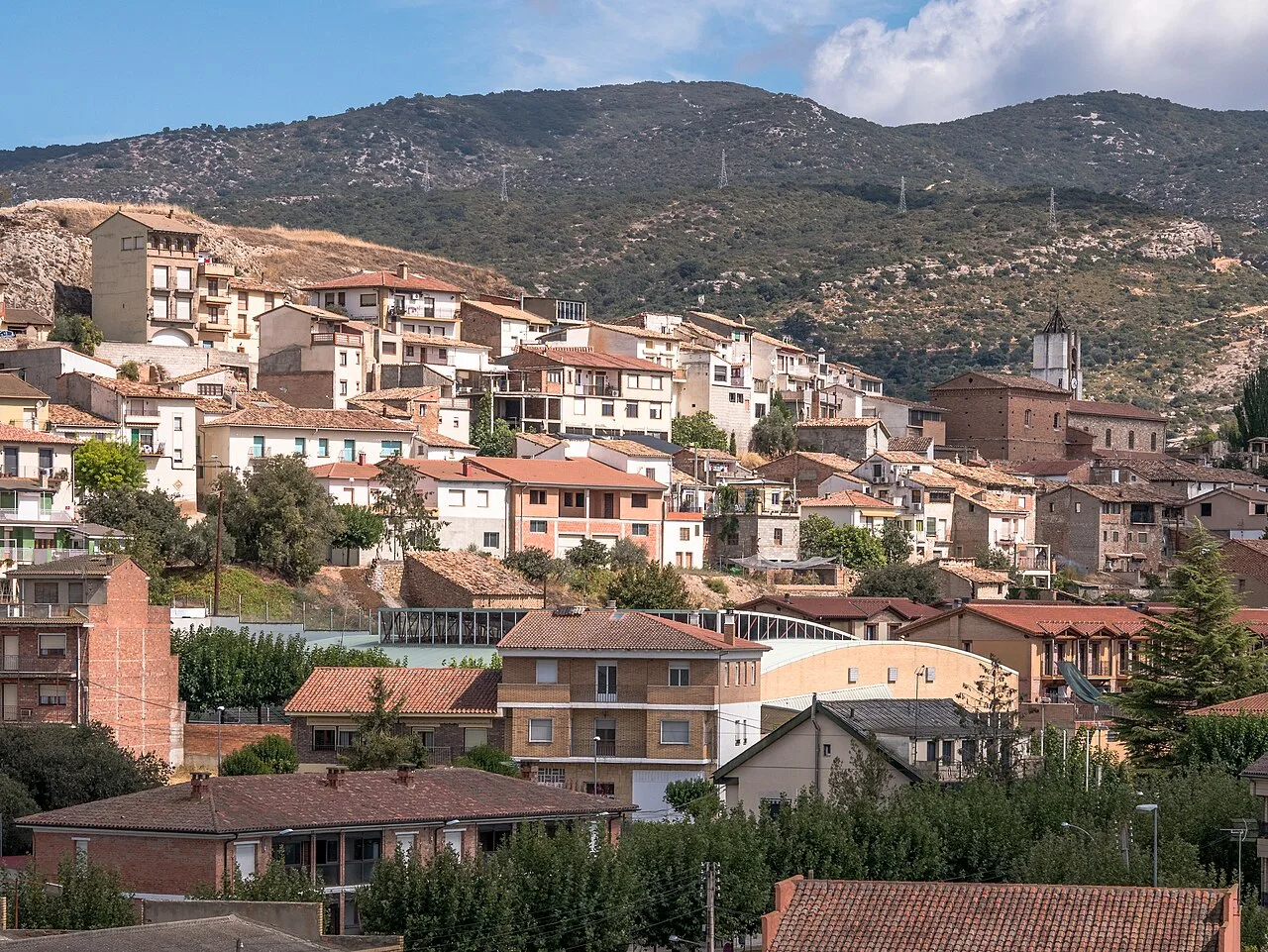
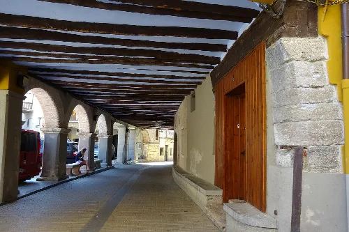
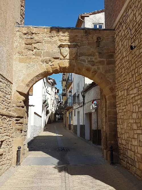
Estadilla is a municipality located in the eastern part of the Somontano de Barbastro region in Huesca, Aragon, Spain. Characterized by its medieval urban layout and rich historical heritage, it features narrow streets and remnants of ancient structures, including a notable sanctuary.
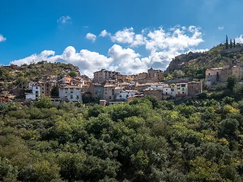
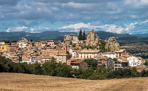
Estadilla is situated at the southern foothills of the Sierra de la Carrodilla, with the highest point reaching 1109 m. The town lies approximately 80 km from the Aragonese Pyrenees and 62 km from Huesca, covering an area of 50.39 km² at an elevation of 450 m. Its urban configuration reflects a medieval village, nestled under the rocky prominence known as El Castillo.
Estadilla has been inhabited since prehistoric times, evolving from a transit point to a fortified settlement on El Castillo. The town was granted charters in 1090 by the Aragonese kings, marking its historical significance. It remained a royal town until 1199, and its strategic location has influenced its development over centuries.
Estadilla, a medieval municipality in Huesca, Aragon, boasts rich history and a unique urban layout.
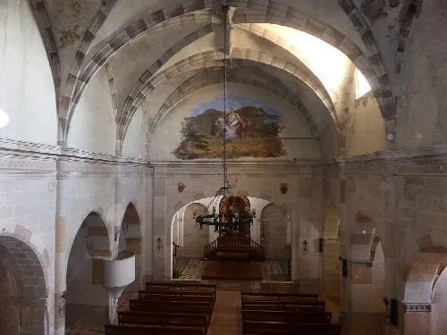
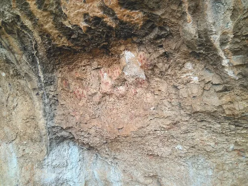
Estadilla's cultural landscape includes various historical sites such as the 18th-century Lavadero, a Romanesque bridge, and prehistoric cave paintings. The Santuario de la Virgen de la Carrodilla, located 6 km from the town, is a significant religious site, showcasing a blend of architectural styles.
Own text, written with AI assistance from the facts in Wikipedia · Estadilla · Data: Wikidata Q934991 · Photos: Wikimedia Commons, see individual licenses. · CC BY-SA 4.0