espana.net
 Adbar, CC BY-SA 3.0
Galicia
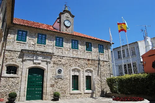
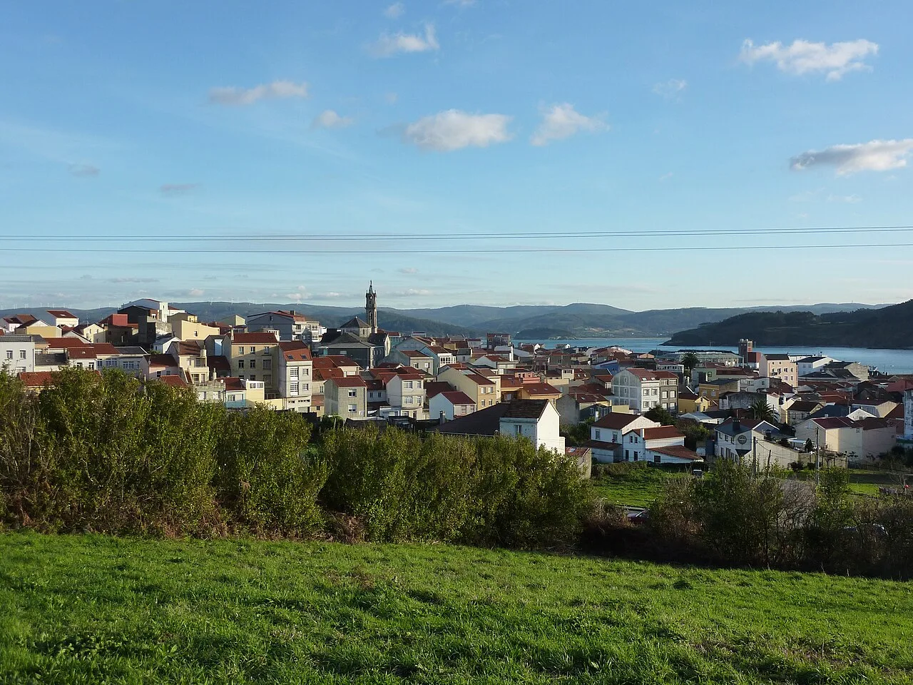
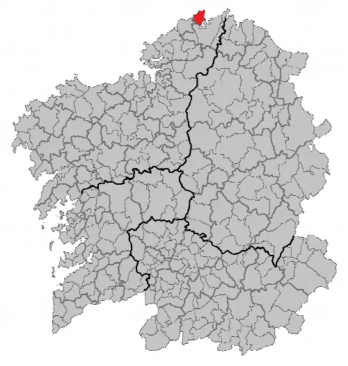
Cariño is a municipality located in the province of A Coruña, Galicia, characterized by its coastal geography and rich maritime history. It features stunning cliffs and a vibrant fishing industry, alongside a strong cultural identity.
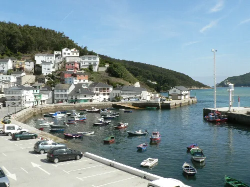
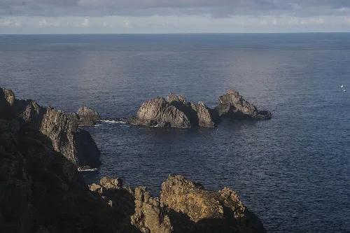
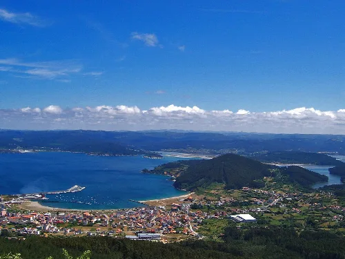
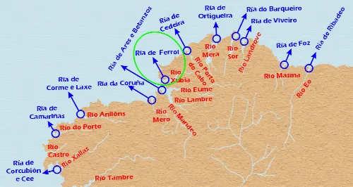
Cariño is situated in the northernmost part of A Coruña province, bordered by the Sierra de la Capelada to the west and the Ría de Ortigueira to the east. The Cabo Ortegal is a significant geographical feature, marking the division between the Atlantic Ocean and the Cantabrian Sea. The municipality is characterized by its rugged coastline, high cliffs, and a series of rivers that flow from the mountains to the ría.
The area of Cariño has been inhabited since prehistoric times, evidenced by various archaeological findings, including dolmens and remnants of Roman villas. Over the centuries, it evolved from a fishing port to a hub for the canning industry, particularly in the 19th and early 20th centuries. The town faced economic challenges in the late 20th century but has shown resilience through community solidarity and emerging industries.
Discover Cariño, a coastal municipality in Galicia known for its cliffs, fishing heritage, and cultural festivals.
The economy of Cariño is primarily based on fishing, with a notable focus on harvesting percebes (goose barnacles). While the canning industry has diminished since the 1980s, one factory, La Pureza, remains operational. Cultural initiatives, including the Festival de Teatro Galego, play a significant role in community life, reflecting the town's vibrant social fabric.
Own text, written with AI assistance from the facts in Wikipedia · Cariño · Data: Wikidata Q1403988 · Photos: Wikimedia Commons, see individual licenses. · CC BY-SA 4.0