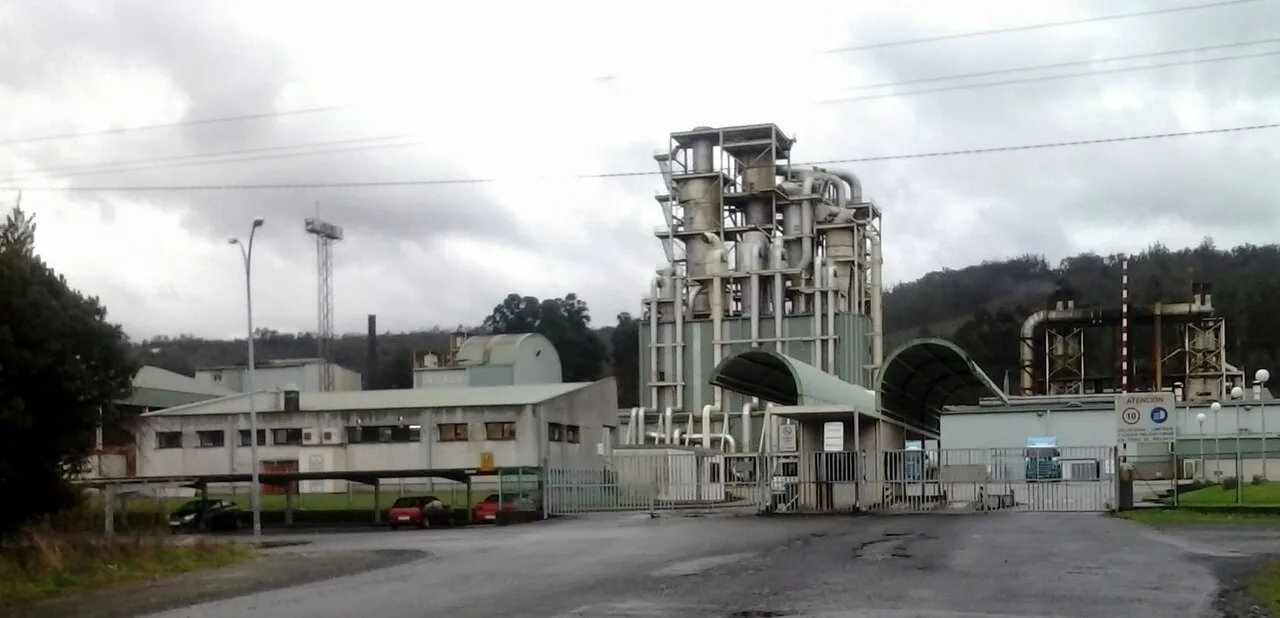
Fábrica de Intasa en San Sadurniño A Coruña Nemigo, CC0

San Sadurniño

Galicia

2,738Population
99.68 km²Area
15560Postal code

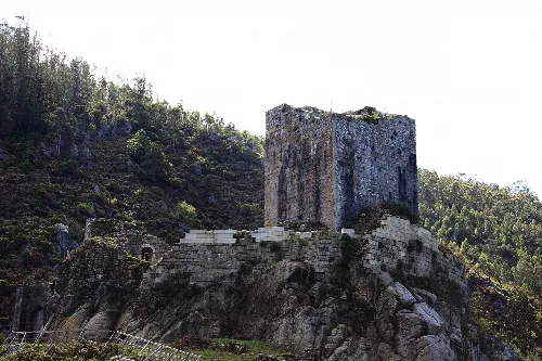
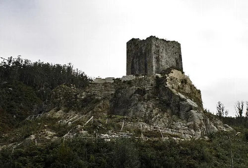
San Sadurniño is a municipality in the province of A Coruña in the autonomous community of Galicia in northwestern Spain. It belongs to the comarca of Ferrol. It is located in the valley of the Rio Grande de Xuvia. Sights include the ruins of the Naraío Castle and the Palaces of the marquises of San Sadurniño.
San Sadurniño · Data
Province
A Coruña
Autonomous community
Galicia
Population
2,738
Area
99.68 km²
Postal code
15560
Website
http://www.sansadurnino.gal
Coordinates
43.5327, -8.0727

Photos

Castillo de Naraio - San Sadurniño (A Coruña)
This is a photo of a monument listed in the Spanish heritage register of Bienes de Interés Cultural under the reference RI-51-0008867.

Map

Nearby

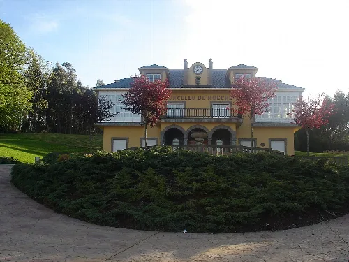
Casa do Concello de Moeche
gl:Categoría:Imaxes de Moeche
Moeche
A Coruña · 1,194 inhabitants
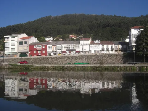
Houses by the Xuvia River in Neda, with green hills in the background.
Neda
A Coruña · 4,925 inhabitants
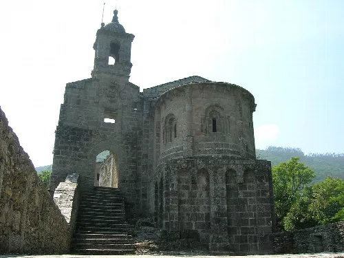
Mosteiro de San Xoán de Caaveiro (Parroquia:Capela (Santiago), concello da Capela, Comarca do Eume, Galicia - Spain'Monasterio de San Xoán de Caaveiro'
A Capela
A Coruña · 1,165 inhabitants
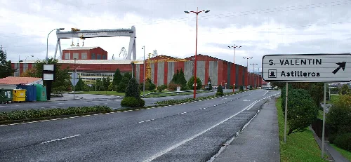
Street view with direction sign and industrial buildings in Fene.
Fene
A Coruña · 12,467 inhabitants
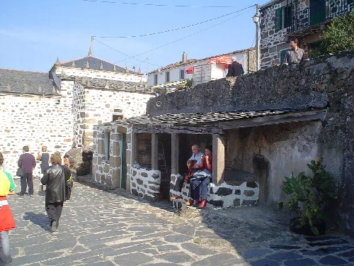
Entrance to the sanctuary with people on the stone street.
Cedeira
A Coruña · 6,547 inhabitants

Text based on Wikipedia · San Sadurniño · Data: Wikidata Q1442511 · Photos: Wikimedia Commons, see individual licenses. · CC BY-SA 4.0