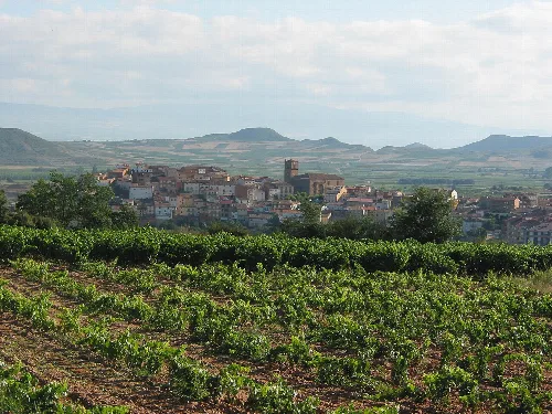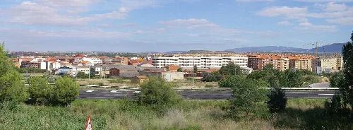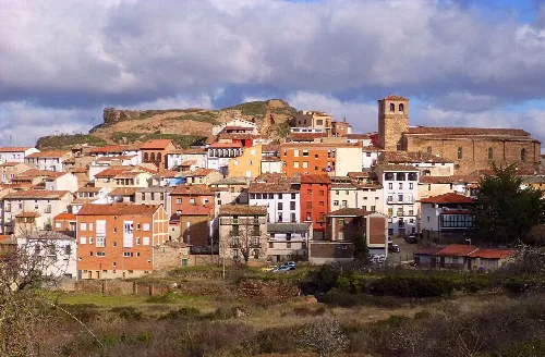
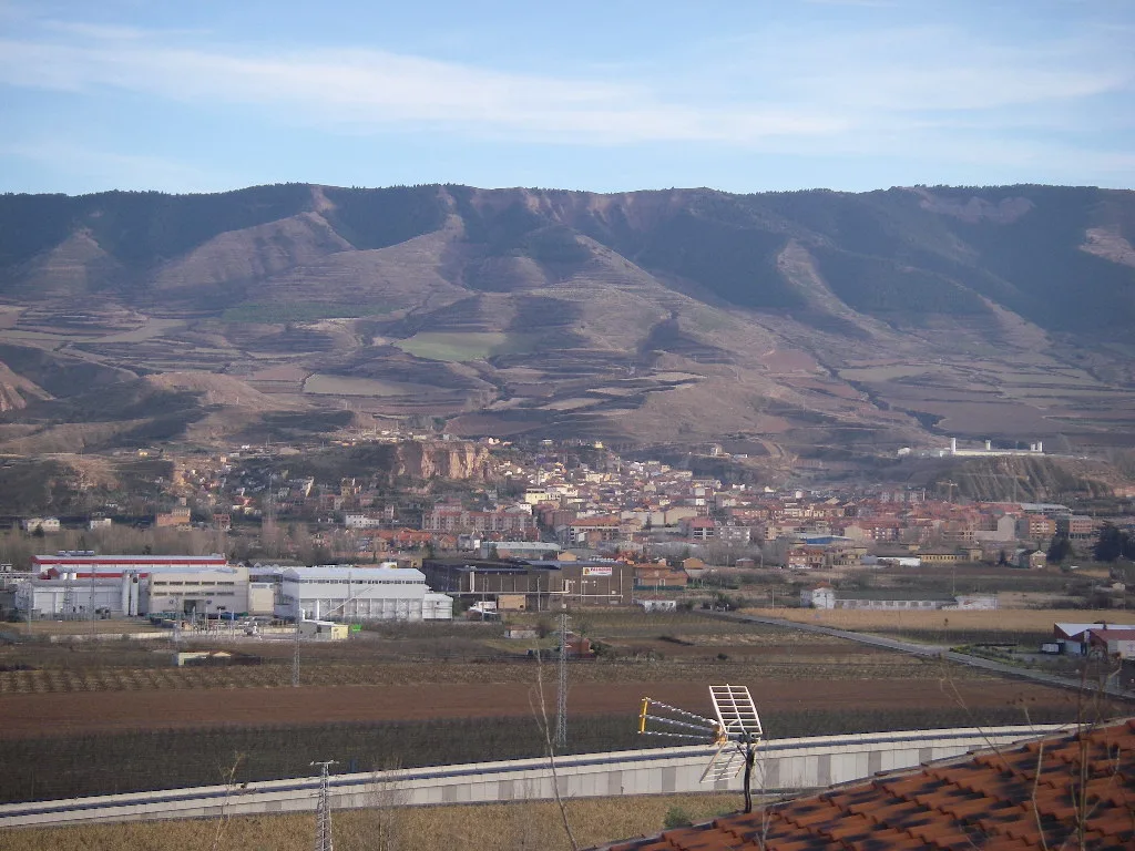
Panoramic view of Albelda de Iregua with mountains and fields in La Rioja. Deivid, Public domain

Albelda de Iregua

La Rioja

3,930Population
23.03 km²Area
535 mElevation
26120Postal code

Albelda de Iregua is a municipality located in the La Rioja region of Spain, characterized by its rich history and agricultural landscape. Nestled in the valley of the Iregua River, it features notable historical sites and vibrant local traditions.

02Geography

Albelda de Iregua is situated in the Logroño comarca, approximately 13 km south of the provincial capital. The municipality spans an area of 23.03 km² and is traversed by the N-111 road, providing access to nearby towns. The landscape is defined by the fertile valley of the Iregua River, with elevations reaching up to 683 m in the nearby Riscas de Castro.

Distance to Logroño
13 km

03History

Founded in the 9th century, Albelda de Iregua has a rich historical background, including the establishment of the Monastery of San Martín in 924. The area has seen significant events, including the granting of a charter in 1063, and has been referenced in various historical documents throughout the centuries.

Discover Albelda de Iregua, a historic municipality in La Rioja known for its agricultural landscape and cultural heritage.

04Cultural Heritage

Albelda de Iregua is home to several notable monuments, including the Monastery of San Martín and various hermitages. The local festivals reflect the community's traditions and religious significance, with events throughout the year.
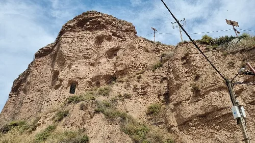
Ruins of the monastery with the chapel of La Panera and holes in stone walls.
Remains of San Martín de Albelda Monastery, with the chapel of La Panera still standing and holes in the walls.
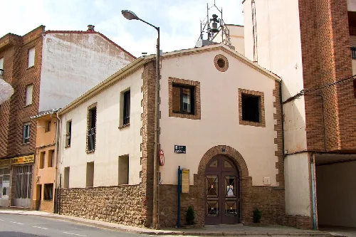
Chapel with brick walls and wooden door in Albelda de Iregua.
Santa Isabel chapel in Albelda de Iregua, with brick facade and wooden door on a street.
Albelda de Iregua · Data
Province
La Rioja
Autonomous community
La Rioja
Population
3,930
Area
23.03 km²
Elevation
535 m
Postal code
26120
Website
http://www.albelda.org/
Coordinates
42.3575, -2.4728

Photos

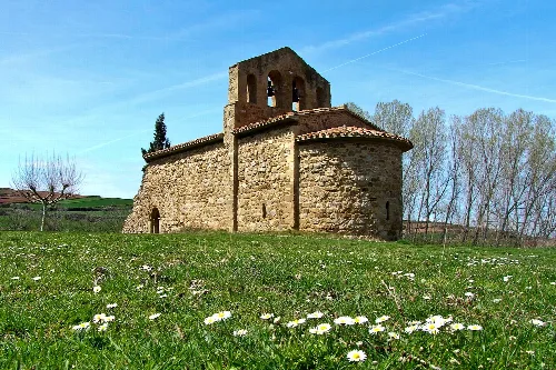
Stone church with bell tower in a field with flowers and trees in the background.
The Santa Fe de Palazuelos hermitage in Albelda de Iregua, built in a vanished settlement from the plague of 1300.
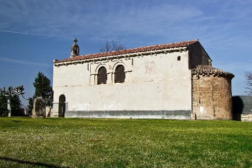
Small white church with red-tiled roof and bell tower in Albelda de Iregua.
The Hermitage of Our Lady of Bueyo in Albelda de Iregua, with its simple facade and red-tiled roof.
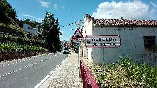
Sign indicating entrance to Albelda de Iregua on a street with houses and trees.
Entrance to Albelda de Iregua with signage and rural road under a partly cloudy sky.
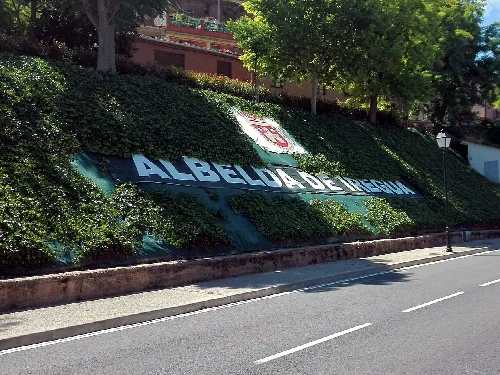
Sign at the entrance of Albelda de Iregua with the town's name.
Sign at the entrance of Albelda de Iregua with the town's name in large letters.
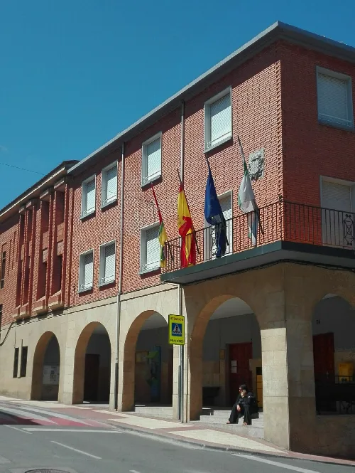
Town hall building with flags and arches on the ground floor.
Albelda de Iregua town hall in a brick building with arches on the ground floor.

Map

Nearby

Urban landscape of Nalda with houses and a church on the hill.
Nalda
La Rioja · 1,307 inhabitants
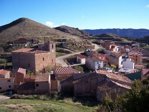
View of houses and a stone building in a mountain village.
Clavijo
La Rioja · 294 inhabitants
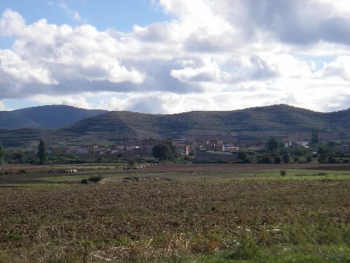
Landscape with hills and fields in Sorzano, La Rioja, Spain
Sorzano
La Rioja · 233 inhabitants
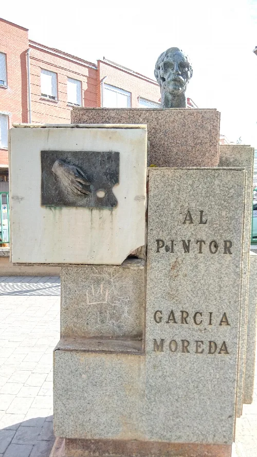
Bust and relief portrait of painter García Moreda in Alberite.
Alberite
La Rioja · 2,743 inhabitants
View of Entrena with vineyards and the town in the background.
Entrena
La Rioja · 1,660 inhabitants
Panoramic view of Lardero with buildings and green areas.
Lardero
La Rioja · 12,060 inhabitants

Own text, written with AI assistance from the facts in Wikipedia · Albelda de Iregua · Data: Wikidata Q1623553 · Photos: Wikimedia Commons, see individual licenses. · CC BY-SA 4.0