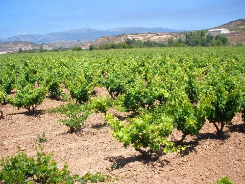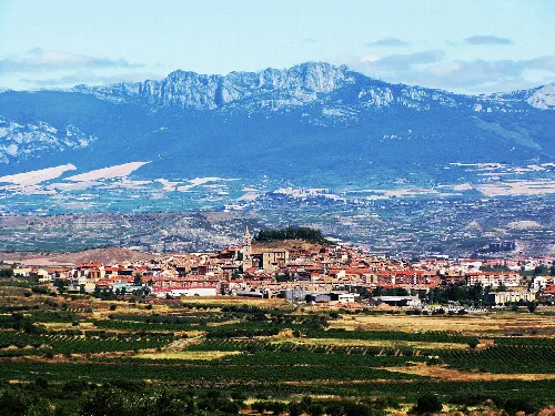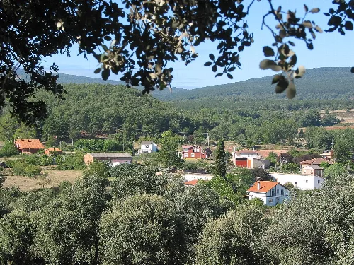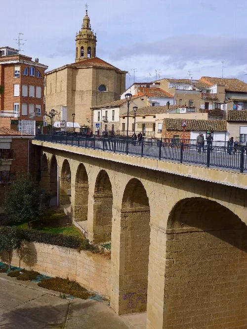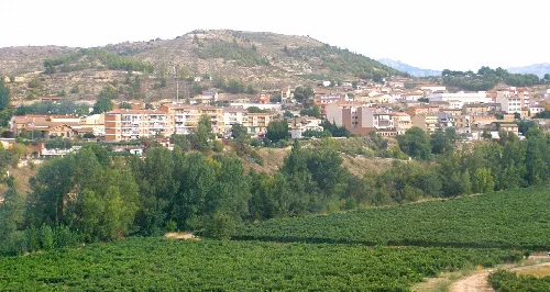
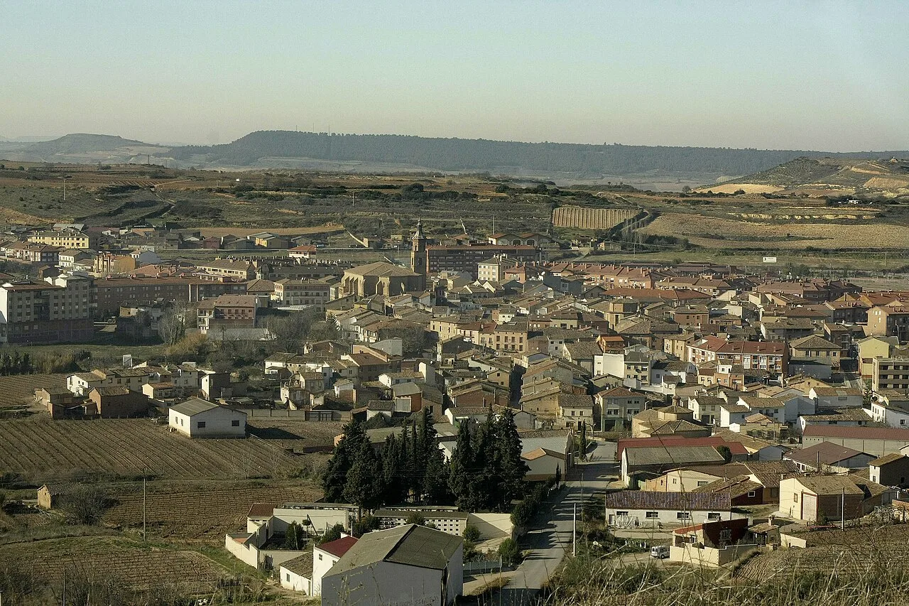
Landscape with houses and rural fields in Fuenmayor, La Rioja. Bea.miau, CC0

Fuenmayor

La Rioja

3,281Population
34.29 km²Area
433 mElevation
26360Postal code

Fuenmayor is a municipality in the La Rioja region of Spain, known for its strategic location between the Ebro River and major transport routes. The town features a rich history, a vibrant wine culture, and several notable architectural sites.

02Geography

Fuenmayor is situated in the Rioja Media comarca, approximately 13 km from Logroño. The municipality is crossed by the AP-68 motorway and the N-232 national road, enhancing its connectivity. The landscape features the right bank of the Ebro River to the north and a gently rising plain to the south, with altitudes ranging from 400 m near the river to 650 m in the southwest.

Elevation range
400 m to 650 m
Nearby municipalities
Lapuebla de Labarca, Laguardia, Logroño, Navarrete, Cenicero, Elciego

03History

Fuenmayor was first mentioned in the 11th century when Queen Estefanía granted the town to the Monastery of Santa María la Real de Nájera. Archaeological findings indicate earlier habitation, with the area known as Varía or Varegia. The town gained independence from Navarrete in the 17th century and saw economic growth in the 19th century with the establishment of large wineries.

Fuenmayor, a La Rioja municipality, is known for its wine culture and historical architecture.

04Culture and Architecture

Fuenmayor hosts significant cultural events, including the Fiesta de Los Marchos on December 7, featuring bonfires throughout the town. The Mariquitina's Day festival celebrates wine culture with various performances and activities. The municipality is also home to several religious and civil architectural landmarks, reflecting its historical significance.
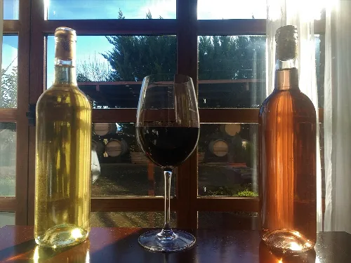
Three bottles of wine and a glass of red wine on a table with a sunny day view.
Three bottles of wine and a glass of red wine inside with a sunny day view in Fuenmayor, La Rioja.
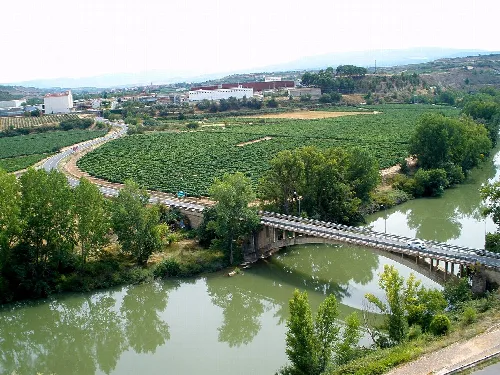
Bridge over the Ebro river with greenery and fields around.
Bridge over the Ebro between Fuenmayor in La Rioja and Lapuebla de Labarca in Álava
Fuenmayor · Data
Province
La Rioja
Autonomous community
La Rioja
Population
3,281
Area
34.29 km²
Elevation
433 m
Postal code
26360
Website
http://www.fuenmayor.org/
Coordinates
42.4667, -2.5600

Photos

Rows of green vineyards in a field in Fuenmayor, La Rioja.
Vineyards in Fuenmayor, surrounded by mountains and under a clear sky in La Rioja.
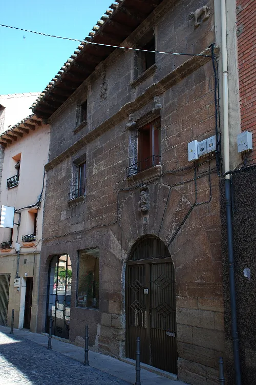
Stone building with windows and door on a narrow street in Fuenmayor.
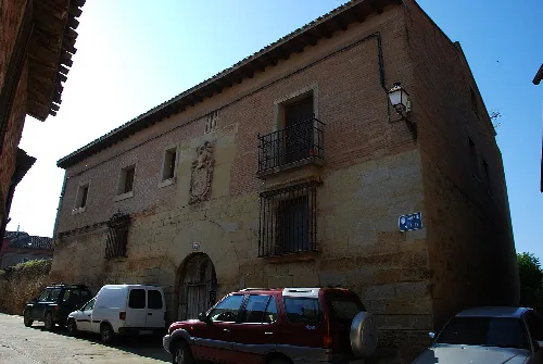
Palace on Calle Mayor Alta, Fuenmayor, La Rioja, with stone facade and barred windows.
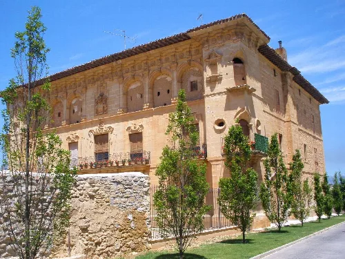
Stone building with architectural details and trees in the foreground.
Palace of the Marquis of Terán in Fuenmayor, with architectural details and a garden with trees in the foreground.
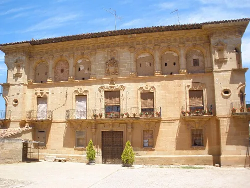
Stone palace facade with balconies and flowers in Fuenmayor.
Palace of the Marquis of Terán in Fuenmayor, with its stone facade and flowered balconies.
Brick building with barred windows and arched door in Fuenmayor.
Palacio de los Urban del Campo in Fuenmayor, La Rioja, with brick facade and barred windows.

Map

Nearby

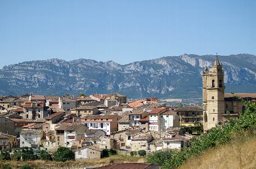
Urban landscape of Elciego with houses and a church tower, mountains in the background.
Elciego
Álava · 971 inhabitants
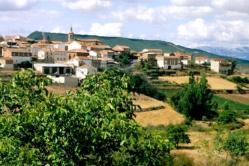
The village and its surroundings. Sotés, La Rioja, Spain
Sotés
La Rioja · 261 inhabitants
Stone bridge with arches in Cenicero, La Rioja, Spain.
Cenicero
La Rioja · 2,173 inhabitants

Own text, written with AI assistance from the facts in Wikipedia · Fuenmayor · Data: Wikidata Q755695 · Photos: Wikimedia Commons, see individual licenses. · CC BY-SA 4.0