espana.net
 XanaG, CC BY-SA 4.0
Castile and León
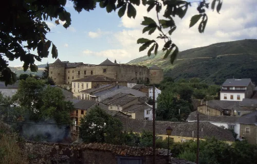
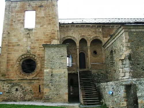
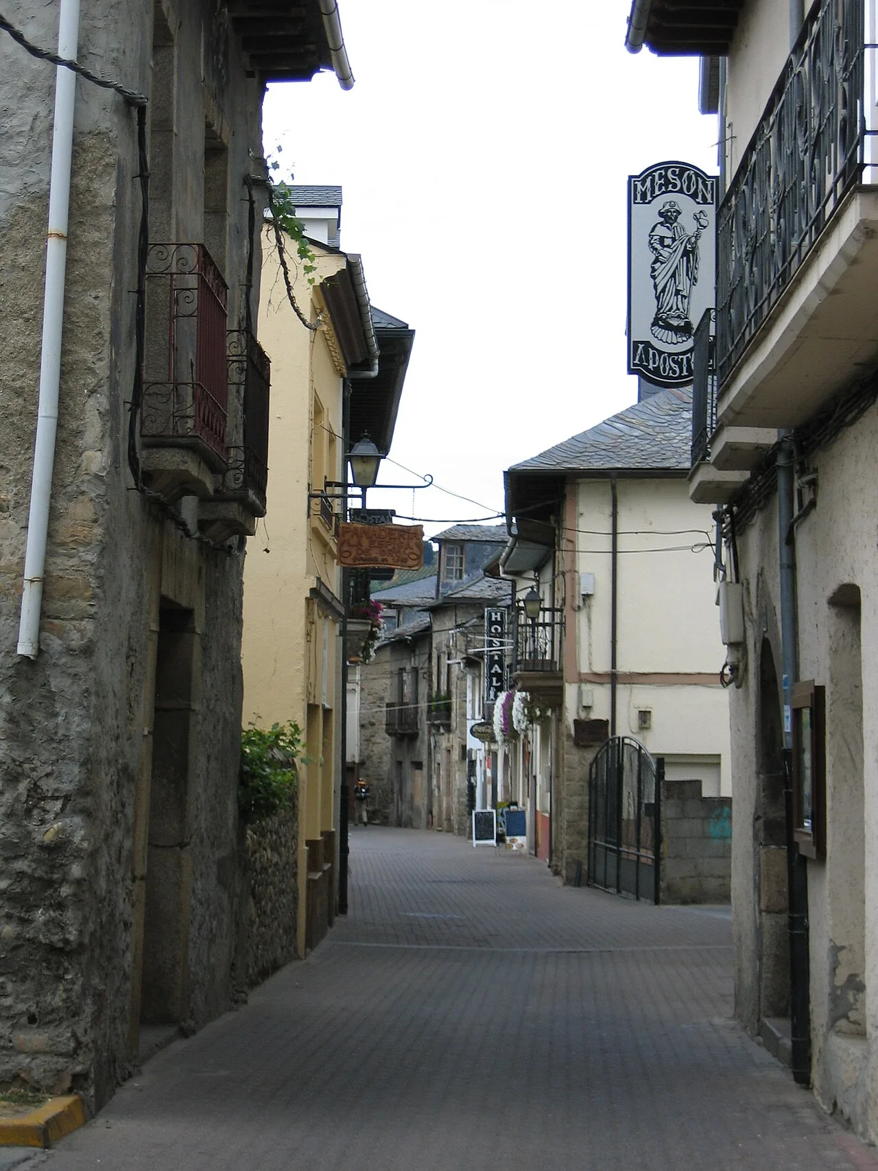
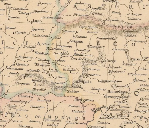
Cacabelos is a municipality located in the province of León, within the autonomous community of Castile and León, Spain. It is situated in the El Bierzo region and is known for its rich history, strategic importance in the wine industry, and cultural offerings.
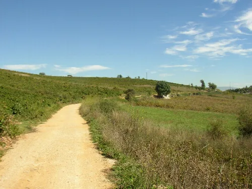
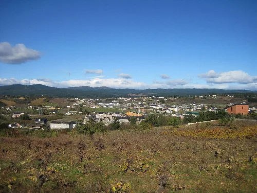
Cacabelos is positioned in the western part of León province, nestled in the central area of El Bierzo. The municipality features a varied topography, characterized by valleys shaped by the Cúa River, which flows through the region, creating a landscape of gentle slopes and isolated hills.
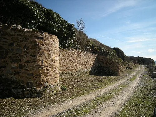
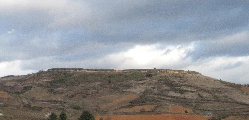
Cacabelos has a rich historical background, with evidence of human settlement dating back to the Paleolithic era. The region saw significant developments during the Bronze Age and the Iron Age, with notable archaeological sites like Castro Ventosa.
Cacabelos is a municipality in León, Spain, known for its historical significance and wine production.
The economy of Cacabelos is significantly influenced by its wine production, with numerous wineries contributing to the Denomination of Origin Bierzo. This sector plays a vital role in the local economy and cultural identity.
Cacabelos boasts a vibrant cultural scene, highlighted by its patronal festival, La Pascua, and the annual fairs in May. The town also features the MARCA, an archaeological museum showcasing Celtic and Roman heritage.
Own text, written with AI assistance from the facts in Wikipedia · Cacabelos · Data: Wikidata Q695202 · Photos: Wikimedia Commons, see individual licenses. · CC BY-SA 4.0