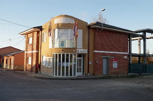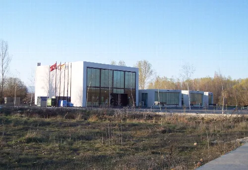
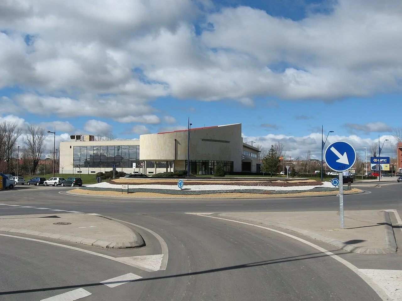
Modern town hall building in a roundabout with traffic signs. Yrithinnd, CC BY-SA 3.0

San Andrés del Rabanedo

Castile and León

29,944Population
64.84 km²Area
849 mElevation
24010Postal code

San Andrés del Rabanedo is a municipality in the province of León, Castile and León, characterized by its urban development and proximity to León. It encompasses several localities, including Trobajo del Camino and Villabalter, and serves as a residential area for the capital.

02Geography

San Andrés del Rabanedo is situated in the Bernesga Valley, forming part of the Tierra de León comarca. The municipality is surrounded by several localities, including Rioseco de Tapia and León, and features a diverse landscape comprising floodplains, highlands, and military zones.

Elevation range
825 m to 1100 m
Annual rainfall
600 liters per square meter
Average temperature
3 °C to 19 °C

03History

The history of San Andrés del Rabanedo is marked by its medieval origins, particularly the locality of Trobajo del Camino, which has historical references dating back to the late 10th century. The municipality has a tradition of community cohesion, having formed alliances to defend their interests throughout history.

San Andrés del Rabanedo is a municipality in León, Castile and León, known for its urban development and several localities.

04Demographics

San Andrés del Rabanedo has experienced significant demographic changes, growing from a population of 15,881 in 1986 to approximately 29,944 currently. The municipality is transitioning from a rural character to a more urbanized environment.
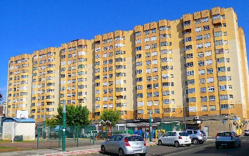
Yellow apartment building in San Andrés del Rabanedo with basketball court and cars.
Apartment building in the Pinilla neighborhood, San Andrés del Rabanedo, with a basketball court and cars in the foreground.
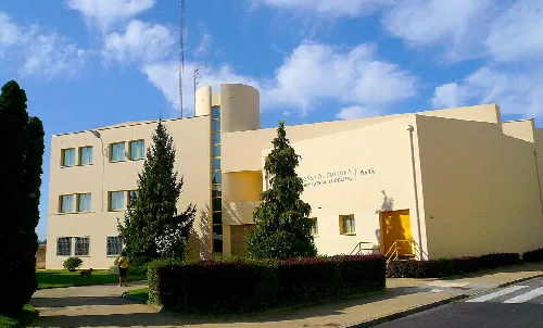
White building with trees and a person on the sidewalk.
Pinilla Cultural Center building in San Andrés del Rabanedo, León.

05Economy and Infrastructure

The economy of San Andrés del Rabanedo is primarily industrial, with significant commercial and residential development. Agriculture still plays a role, but the focus has shifted towards industry and construction.
San Andrés del Rabanedo · Data
Province
León
Autonomous community
Castile and León
Population
29,944
Area
64.84 km²
Elevation
849 m
Postal code
24010
Website
http://www.aytosanandres.org/
Coordinates
42.6111, -5.6194

Photos

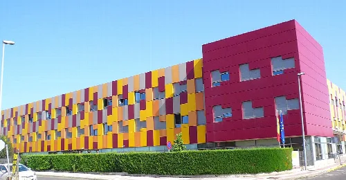
Colorful building facade in San Andrés del Rabanedo
Colorful building of the State Reference Center for persons with disabilities in San Andrés del Rabanedo
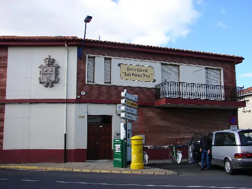
Building with a sign indicating Juan Antonio Posse Cultural Center in San Andrés del Rabanedo.
Juan Antonio Posse Cultural Center in San Andrés del Rabanedo, León.
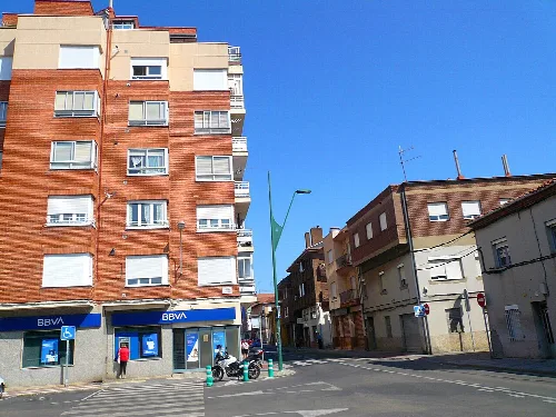
Street with buildings and a BBVA bank in Trobajo del Camino.
Street view in Trobajo del Camino, San Andrés del Rabanedo, with modern buildings and a BBVA bank.
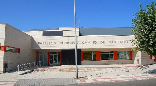
Building with entrance and sign that says Camino de Santiago Municipal Pavilion.
Camino de Santiago Municipal Pavilion in Trobajo del Camino, San Andrés del Rabanedo, León.
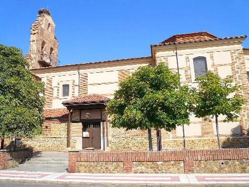
Church with trees in the foreground and a tower in the background.
Church of San Juan Bautista in Trobajo del Camino, San Andrés del Rabanedo, León.

Map

Nearby

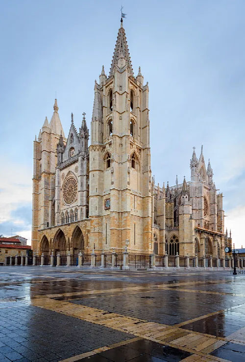
Gothic cathedral tower and facade with ornate details in León.
León
León · 123,446 inhabitants

Own text, written with AI assistance from the facts in Wikipedia · San Andrés del Rabanedo · Data: Wikidata Q1615486 · Photos: Wikimedia Commons, see individual licenses. · CC BY-SA 4.0