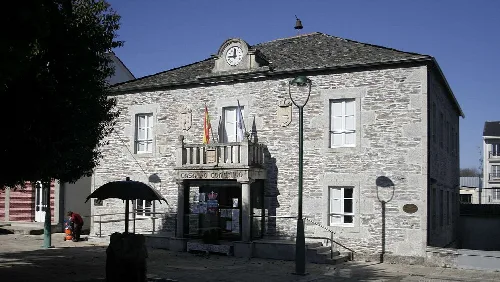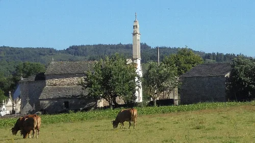
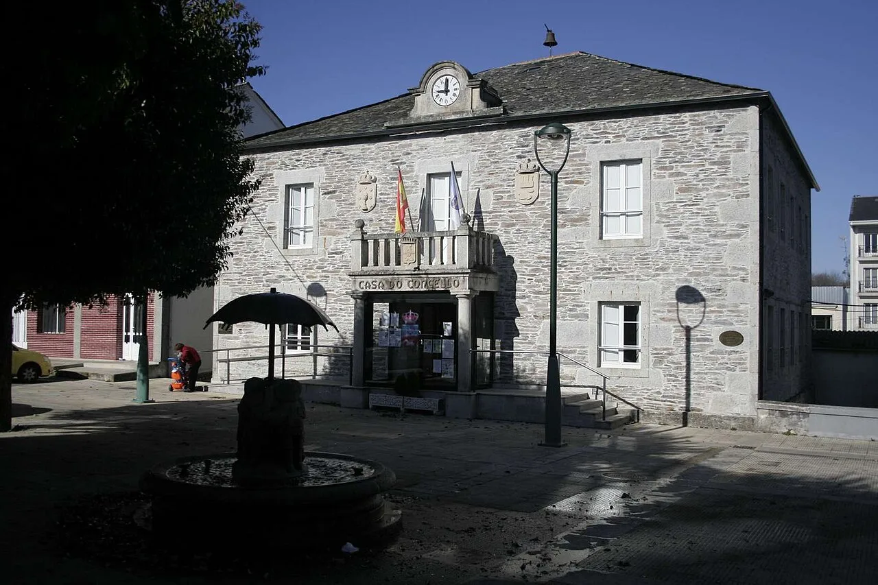
Stone building with clock and flags on the facade of the Town Hall. La fabrica de nubes, CC BY-SA 3.0

Castroverde

Galicia

2,478Population
174.20 km²Area
7 mElevation
27120Postal code

Castroverde is a municipality and town located in the province of Lugo, Galicia. It is characterized by its rich history, diverse natural landscapes, and cultural traditions.

02Geography

Castroverde lies in a transitional zone between the Lugo plateau and the Eastern Mountains, with terrain rising towards the east. The area features several streams that flow into the Guimarás, Azúmara, Romeán, Outeiro, and Tórdea rivers, all tributaries of the Miño. The climate is oceanic with continental influences, experiencing significant temperature variations and an average annual precipitation of around 1000 mm.

Climate
Oceanic with continental influences
Average temperature in January
5.6 °C
Average temperature in July
17.7 °C
Annual precipitation
1000 mm

03History and Heritage

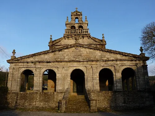
Castroverde is home to several historical sites, including the 14th-century Torre del Homenaje, also known as the Castle of Castroverde. This castle has a rich history, having belonged to notable figures throughout the centuries. The area also features the Gothic-style Church of Santa María de Vilabade, built in 1457, which is recognized for its impressive Baroque sculptures and was declared a National Historic-Artistic Monument in 1979.

Explore Castroverde, a picturesque municipality in Lugo, Galicia, known for its history and natural beauty.

04Festivals and Cultural Activities

Castroverde hosts a variety of festivals throughout the year, reflecting its cultural heritage. Notable events include the Feria de la Artesanía on August 17, the Fiesta de los Abuelos on April 27, and the Santiago celebrations from July 24 to 26, which feature activities such as the Feria del Caballo.
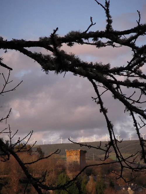
Tree branches in the foreground and an old tower in the background.
View of the 14th-century Torre del Homenaje in Castroverde, framed by tree branches in the foreground.
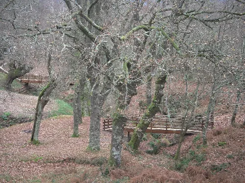
Path with trees and a wooden bridge in Castroverde.
Walkway beside the fair in Castroverde, with trees and a wooden bridge.

05Economy and Daily Life

The local economy of Castroverde is primarily based on agriculture and livestock, with many residents engaged in farming activities. The municipality also supports recreational activities such as hiking along the Camino Primitivo, which attracts thousands of pilgrims each year.
Castroverde · Data
Province
Lugo
Autonomous community
Galicia
Population
2,478
Area
174.20 km²
Elevation
7 m
Postal code
27120
Website
http://concellodecastroverde.gal/
Coordinates
43.0306, -7.3250

Photos

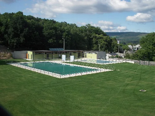
Municipal pools in Castroverde with grass and trees around.
Municipal pools in Castroverde, opened in July 2010, surrounded by grass and nature.
Stone church facade with arches and bell tower above.
Vilabade Church in Castroverde, Lugo, with stone facade and bell tower at the top.
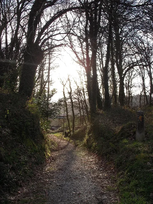
Dirt trail with leafless trees in Castroverde, Lugo, on the Camino Primitivo
Gravel path surrounded by bare trees in Castroverde, Lugo, on the Camino Primitivo
Stone building with clock and flag on the town hall facade.
The Castroverde town hall in Lugo, with a clock on top and a flag on the facade.
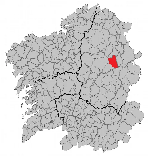
Gray map with Castroverde in red in Lugo.
Map showing the location of Castroverde municipality in Lugo province.

Map

Nearby

Street with old houses and a parked car in Baleira.
Baleira
Lugo · 1,093 inhabitants
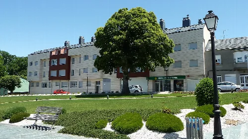
Square with large tree, benches, and residential buildings in Pol, Lugo.
Pol
Lugo · 1,550 inhabitants
Vista de Goméan ( O Corgo)
O Corgo
Lugo · 3,366 inhabitants
Landscape with houses, fields, and green hills in Baralla, Lugo.
Baralla
Lugo · 2,396 inhabitants
Vistas panorámicas no Pico do Forno de Martín, na serra de Meira. Meira. Entre Meira e Seixomil, en Meira.
Meira
Lugo · 1,773 inhabitants

Own text, written with AI assistance from the facts in Wikipedia · Castroverde · Data: Wikidata Q1368794 · Photos: Wikimedia Commons, see individual licenses. · CC BY-SA 4.0