espana.net
 SandrinhaRC, CC BY-SA 3.0
Galicia
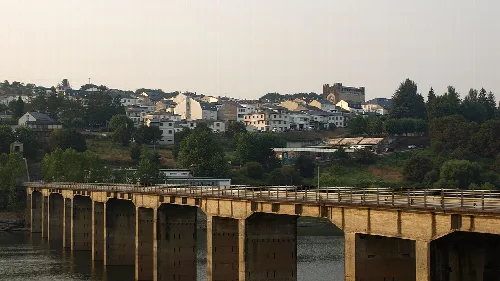
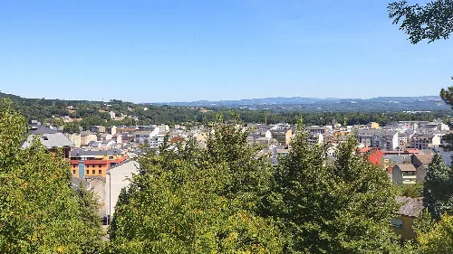
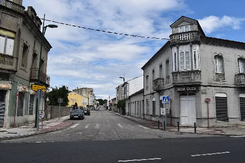
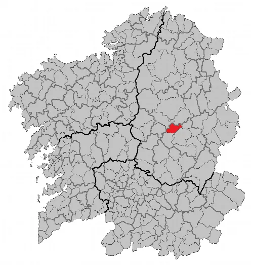
O Páramo is a municipality located in the province of Lugo, Galicia, known for its historical significance and diverse geography. The area features a mix of low-lying plains and the Serra do Páramo mountain range, contributing to its unique landscape.
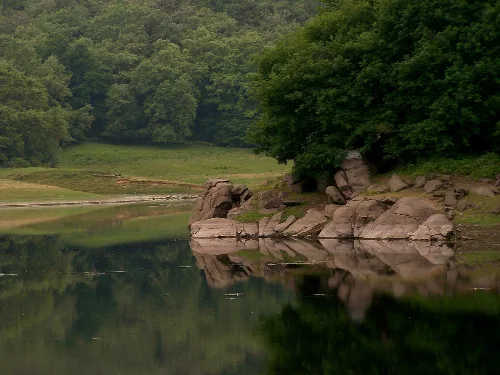
Situated approximately 20 kilometers southeast of Lugo, O Páramo is bordered by six neighboring municipalities. The northern part of the area consists of low-lying terrain, while the southern region features the Serra do Páramo, which includes the highest peaks in the municipality. The geological foundation is primarily composed of ancient Precambrian land, shaped by significant geological events over time.
O Páramo has a rich historical background, with archaeological findings in the Parroquia Santo André de la Ribeira revealing megalithic graves and ancient Castros. The first written mention of the region dates back to 569, highlighting its significance during the early medieval period.
Discover O Páramo, a municipality in Lugo, Galicia, characterized by its rich history and diverse geography.
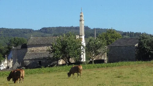
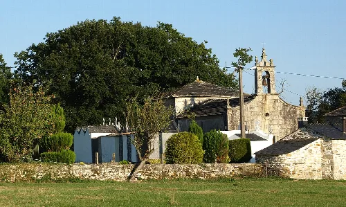
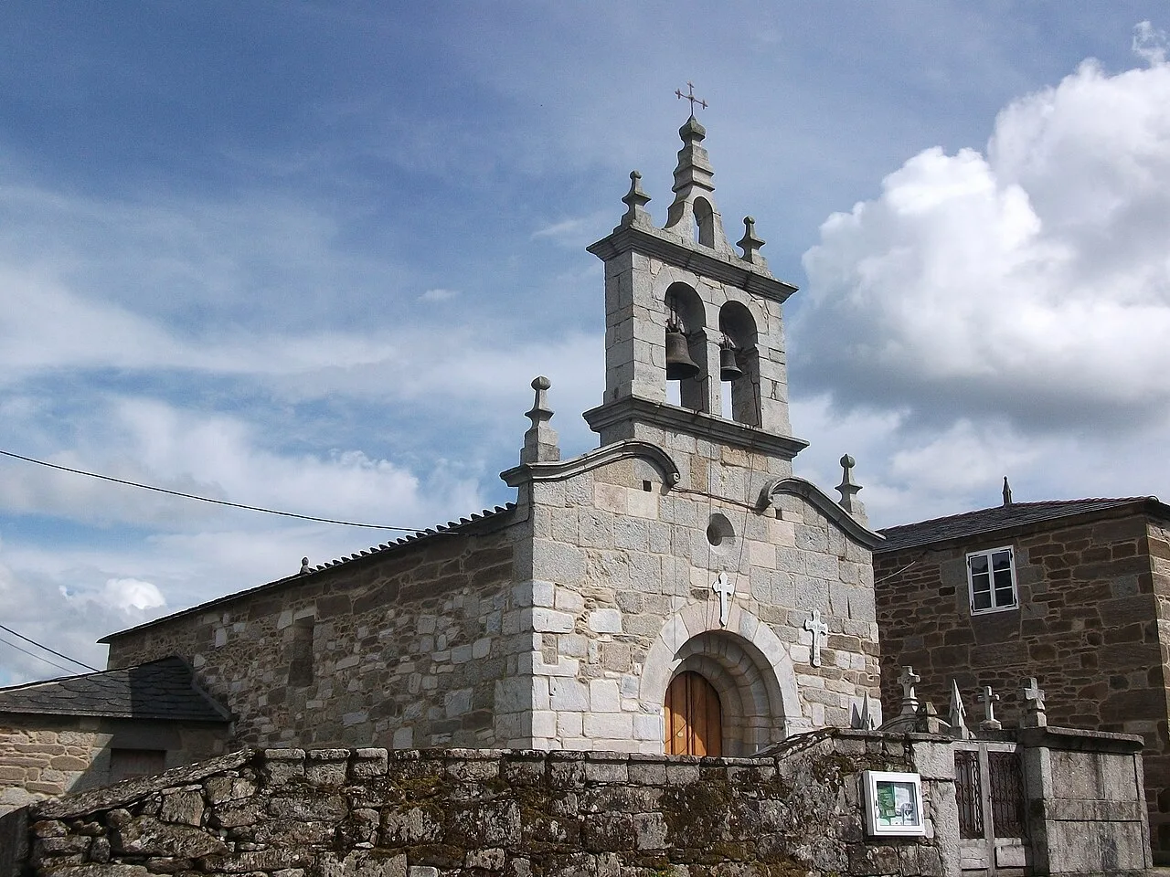
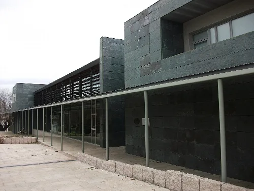
O Páramo is home to several notable landmarks and cultural sites, reflecting its historical heritage. The municipality features various pazos and churches that showcase the architectural styles of the region.
Own text, written with AI assistance from the facts in Wikipedia · O Páramo · Data: Wikidata Q1617334 · Photos: Wikimedia Commons, see individual licenses. · CC BY-SA 4.0