espana.net
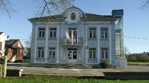
 Gabriel González from Pontecarreira-Frades, España, CC BY-SA 2.0
Galicia
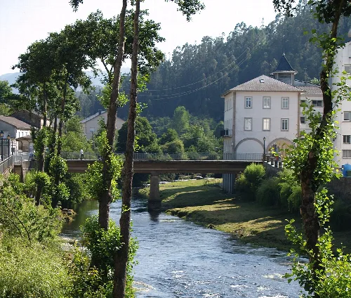
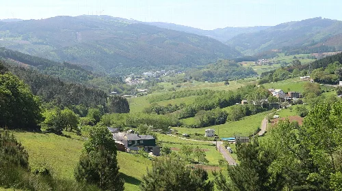
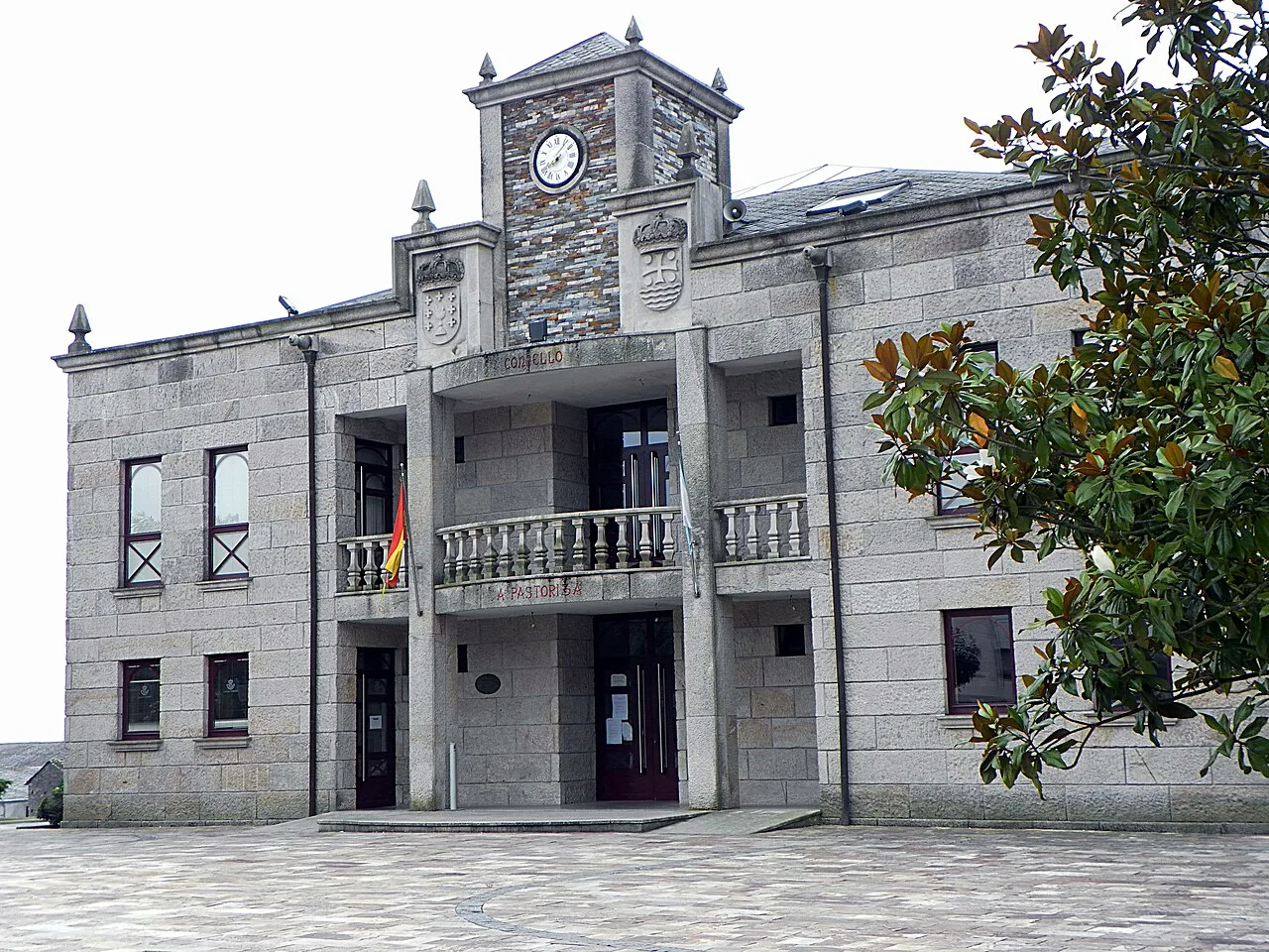
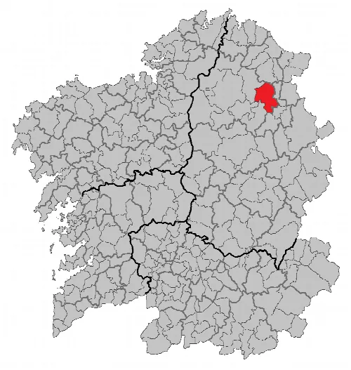
Pastoriza is a municipality located in the province of Lugo, Galicia, characterized by its lush landscapes and historical significance. It features a population of 2,794 and is surrounded by mountainous terrain and rivers.
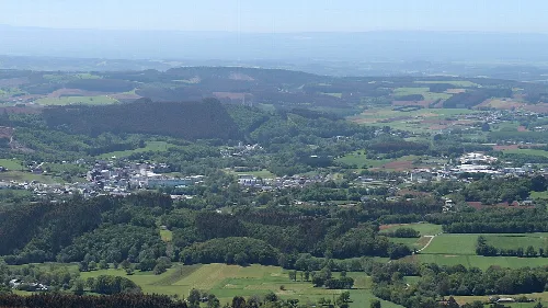
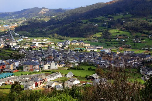
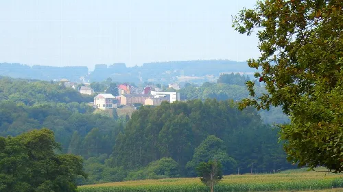
Pastoriza is situated to the northeast of Lugo, approximately 35 kilometers from the provincial capital. The municipality is bordered by seven neighboring communities and is characterized by its hilly terrain, including the Serra de Lourenzá mountain range, which features peaks such as Monte Vello and Alto de Praderello. The landscape is predominantly grassy, with shrubbery and gorse in the mountainous areas.
The Río Miño flows through a small section of the southern part of Pastoriza, accompanied by its tributaries, including the Río Madanela, Río de Negeira, and Río Pequeno. These rivers contribute to the area's irrigation and natural beauty.
Own text, written with AI assistance from the facts in Wikipedia · A Pastoriza · Data: Wikidata Q1465187 · Photos: Wikimedia Commons, see individual licenses. · CC BY-SA 4.0