espana.net
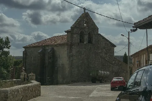
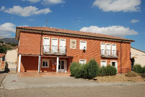
 Luis Rogelio HM, CC BY-SA 2.0
Castile and León
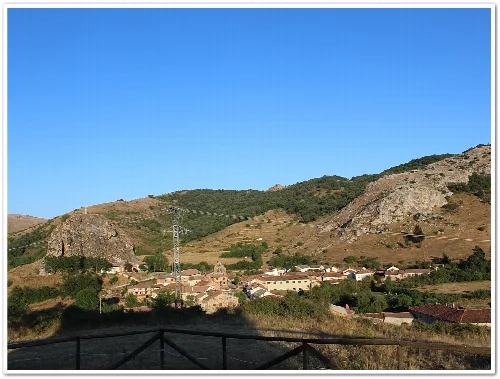
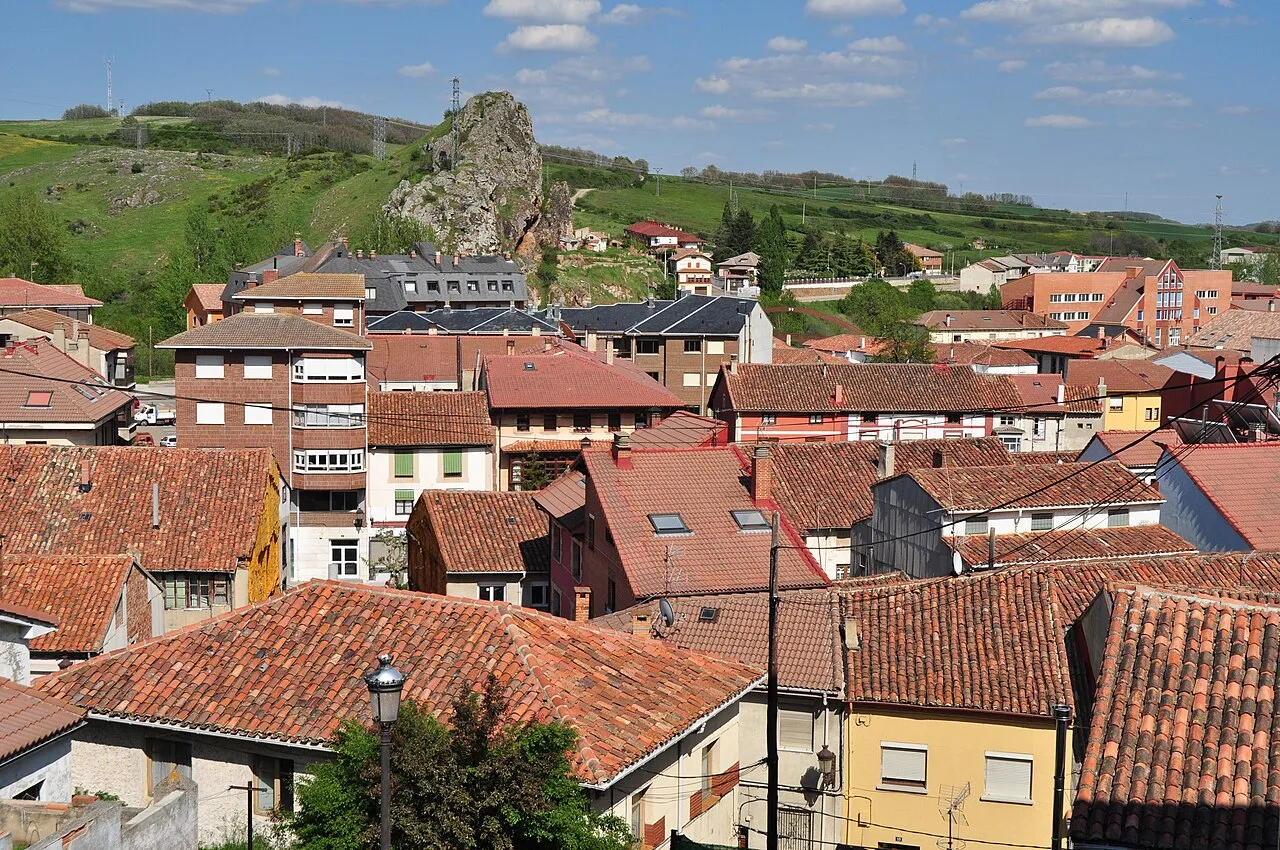
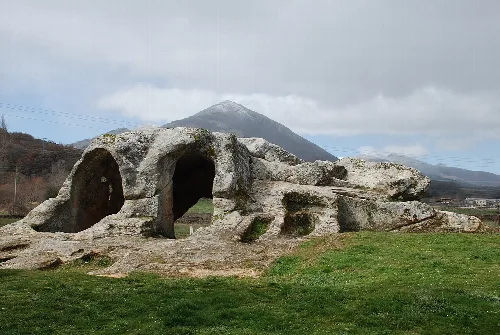
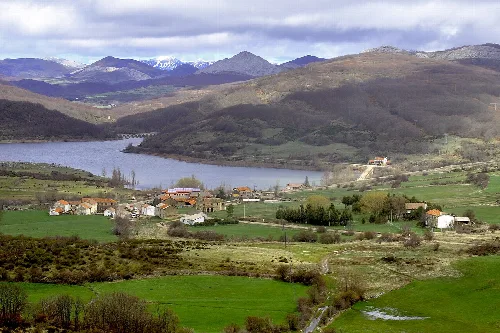
Cervera de Pisuerga is a municipality located in the province of Palencia, within the autonomous community of Castile and León. Nestled in the Montaña Palentina, it is characterized by its rich natural biodiversity and historical significance, with roots tracing back to prehistoric times.
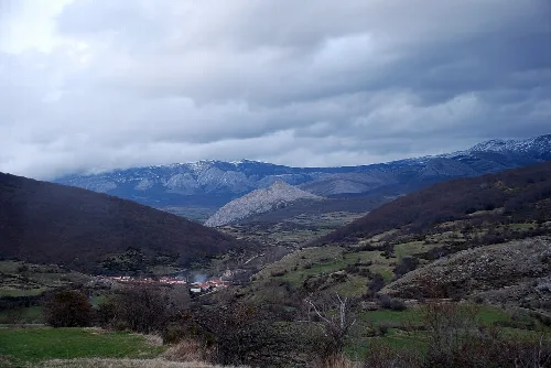
Cervera de Pisuerga is situated at an elevation of 1005 meters in the Montaña Palentina, making it the highest municipality in the province. The area is marked by two significant rivers, the Carrión and the Pisuerga, which shape the local landscape. This municipality encompasses 323 km², making it the largest in Palencia, and is surrounded by natural parks that enhance its ecological value.
Evidence of human presence in Cervera de Pisuerga dates back to prehistoric times, with the region being home to the Cantabrians who resisted Roman conquest. The area gained historical importance during the Middle Ages, particularly in the context of the Reconquista, and was documented as early as 818 AD. Cervera has played a pivotal role in various historical events, including the wars of the communities and the War of Independence.
Cervera de Pisuerga is a municipality in Palencia, known for its biodiversity and historical heritage in the Montaña Palentina.
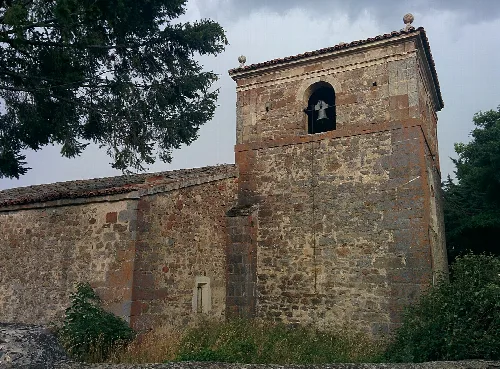
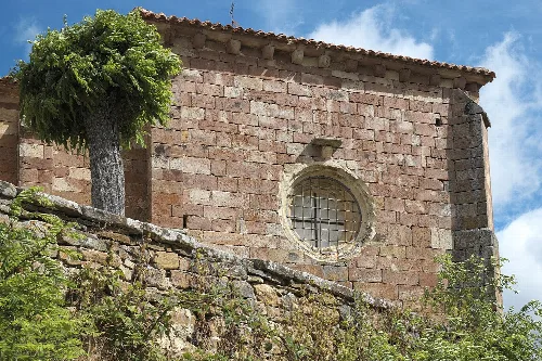
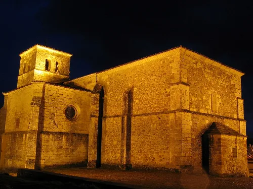
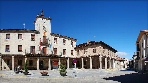
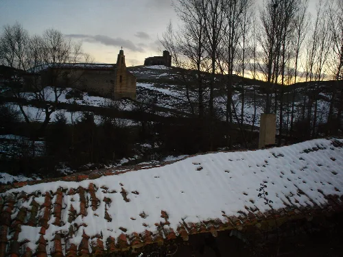
Cervera de Pisuerga features several notable historical and cultural sites, including the Iglesia parroquial de Santa María del Castillo, a Gothic church with significant artistic elements. The town's architecture reflects its rich history, with various structures dating back to the 16th and 18th centuries.
Own text, written with AI assistance from the facts in Wikipedia · Cervera de Pisuerga · Data: Wikidata Q1771120 · Photos: Wikimedia Commons, see individual licenses. · CC BY-SA 4.0