espana.net
 Xas, Public domain
Galicia
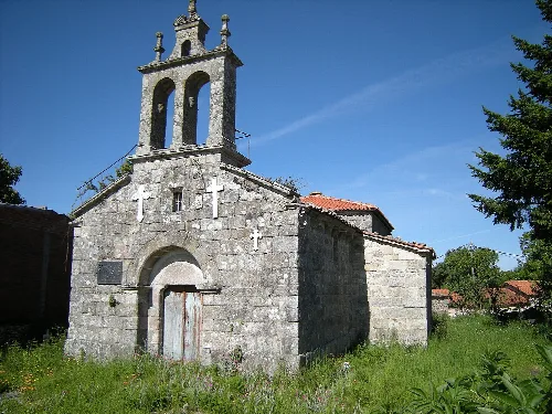
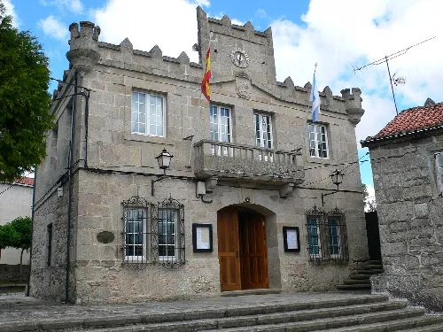
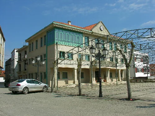
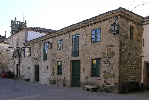
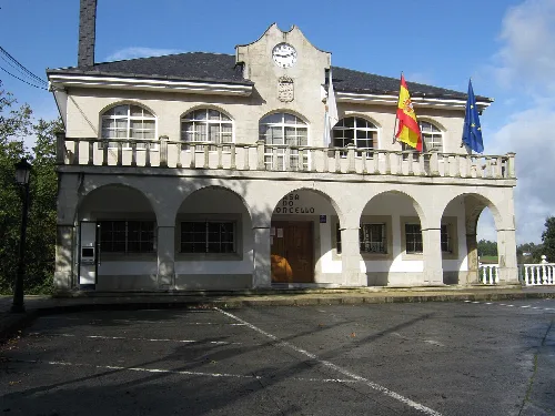
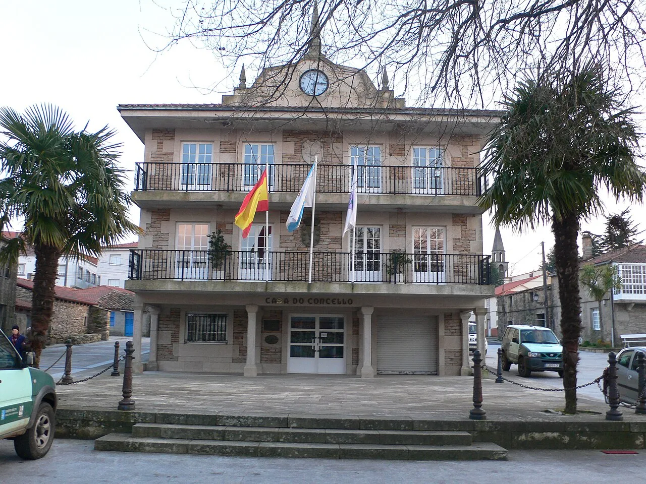
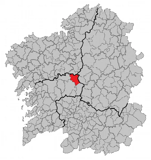
Agolada, also known as Golada, is a municipality located in the province of Pontevedra, Galicia. Characterized by its rich agricultural history and picturesque landscapes, it features a blend of rural charm and traditional Galician culture.
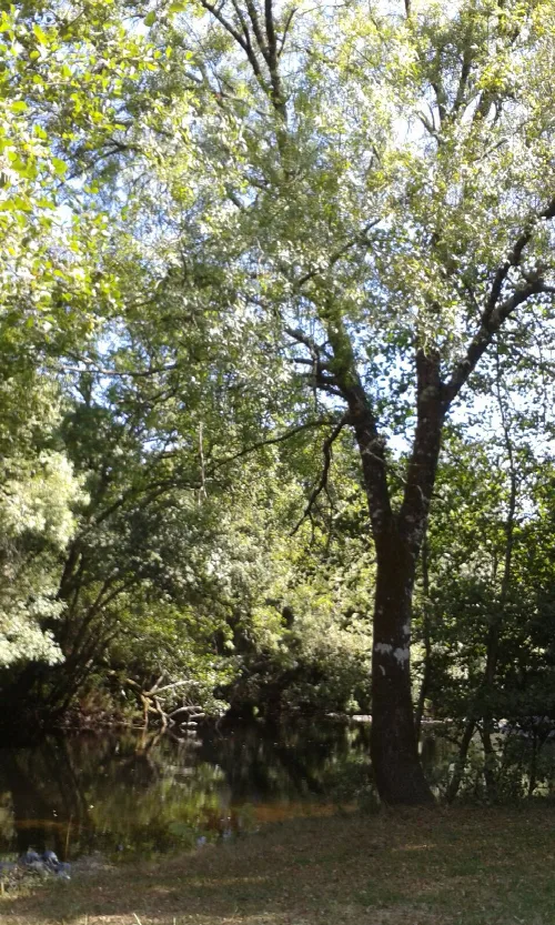
Agolada is situated in the northeastern part of Pontevedra province, bordered by the Ulla River to the north and the Sierra do Farelo. The highest point in the municipality is Monte do Farelo, which rises to 956 meters. The region enjoys an interior oceanic climate, characterized by mild winters and cool summers.
Historically, Agolada has experienced significant demographic changes, with a population of 3,270 recorded in the mid-19th century. The municipality is divided into twenty-four parishes, including the capital, Golada, which has around 500 residents.
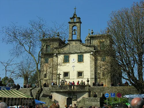
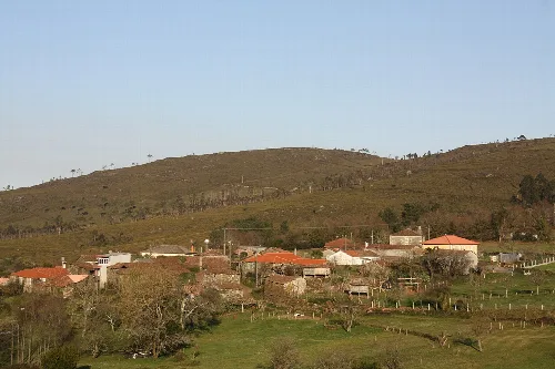
Agolada, a municipality in Galicia, is known for its agricultural heritage and local festivals.
The economy of Agolada has traditionally been based on agriculture, livestock, and forestry, with a recent shift towards livestock farming, particularly cattle and pigs. However, many lands remain unsuitable for cultivation, impacting economic development.
Own text, written with AI assistance from the facts in Wikipedia · Agolada · Data: Wikidata Q395225 · Photos: Wikimedia Commons, see individual licenses. · CC BY-SA 4.0