espana.net
 Luis Miguel Bugallo Sánchez
[http://commons.wikimedia.org/wiki/User:Lmbuga
http://gl.wikipedia.org/wiki/User:Lmbuga, CC BY-SA 3.0
Galicia
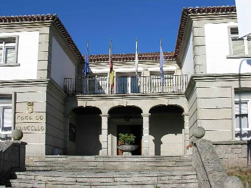
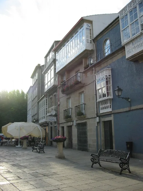
Pontecesures is a municipality located in the Caldas comarca of Pontevedra, Galicia. Known for its historical significance and rich cultural heritage, it features remnants from Roman times and a vibrant local community.
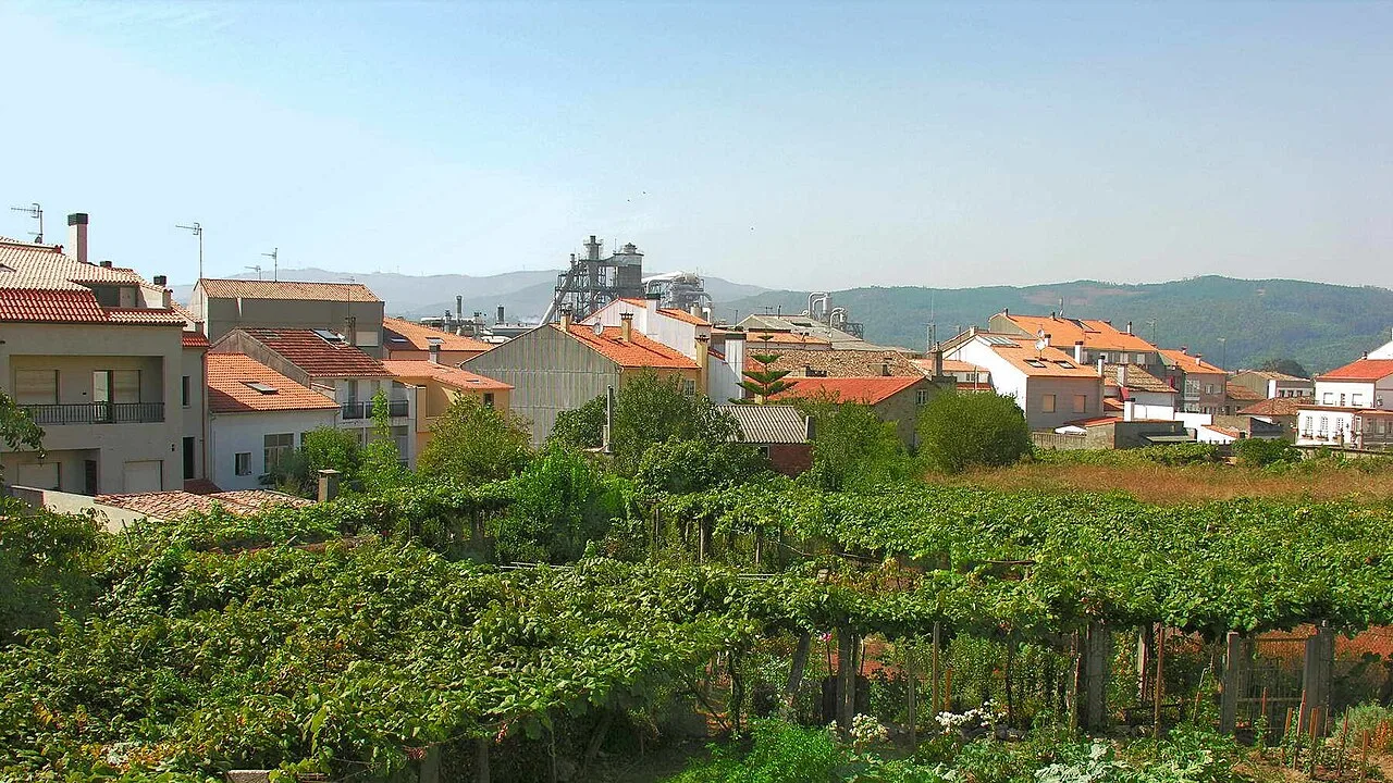
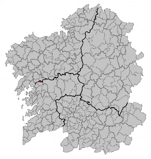
Pontecesures is situated 37 km from Pontevedra, nestled in the Caldas comarca. The municipality is traversed by the Autopista del Atlántico (AP-9) and the national road N-550, along with provincial and local roads connecting to nearby areas. The landscape is characterized by the left bank of the Ulla River, which forms a boundary with La Coruña province, and the surrounding hills that rise to 370 meters.
The settlement of Pontecesures developed around a Roman bridge over the Ulla River, which was navigable at the time. Its port was significant historically, serving as a hub for trade and military vessels during the medieval period. The area was fortified and strategically important in the defense against pirates and invaders, particularly during the time of Bishop Diego Gelmírez.
Pontecesures is a historical municipality in Galicia, known for its Roman heritage and vibrant local culture.
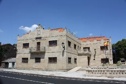
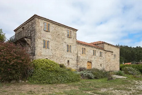
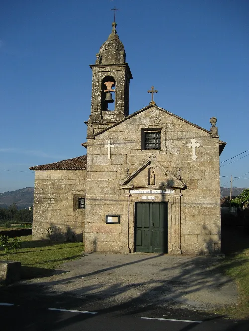
Pontecesures boasts a rich cultural heritage, with various archaeological sites, including petroglyphs and castros from Celtic times. The municipality is also home to significant Roman remains and notable buildings, such as the Church of San Xulián de Requeixo, showcasing Romanesque architecture.
Own text, written with AI assistance from the facts in Wikipedia · Pontecesures · Data: Wikidata Q1627584 · Photos: Wikimedia Commons, see individual licenses. · CC BY-SA 4.0