espana.net
 Rodelar, CC BY-SA 4.0
Castile and León
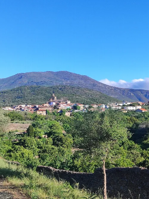
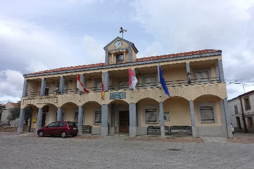
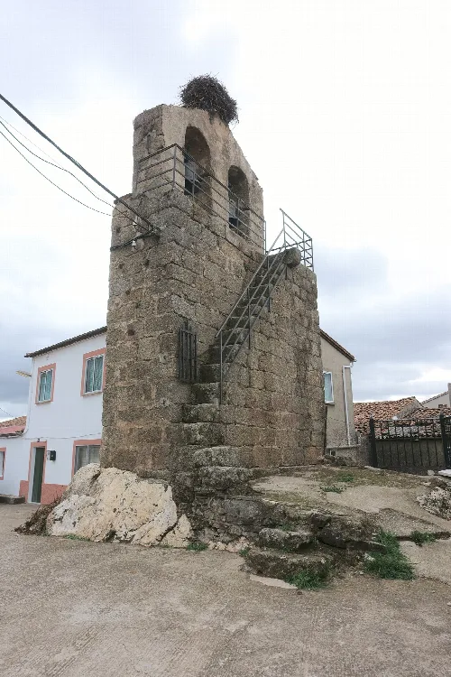
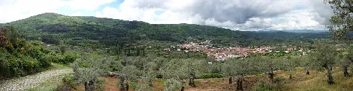
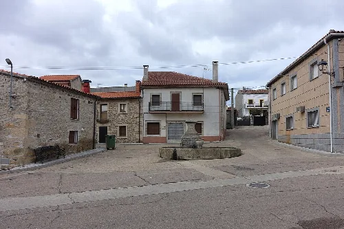
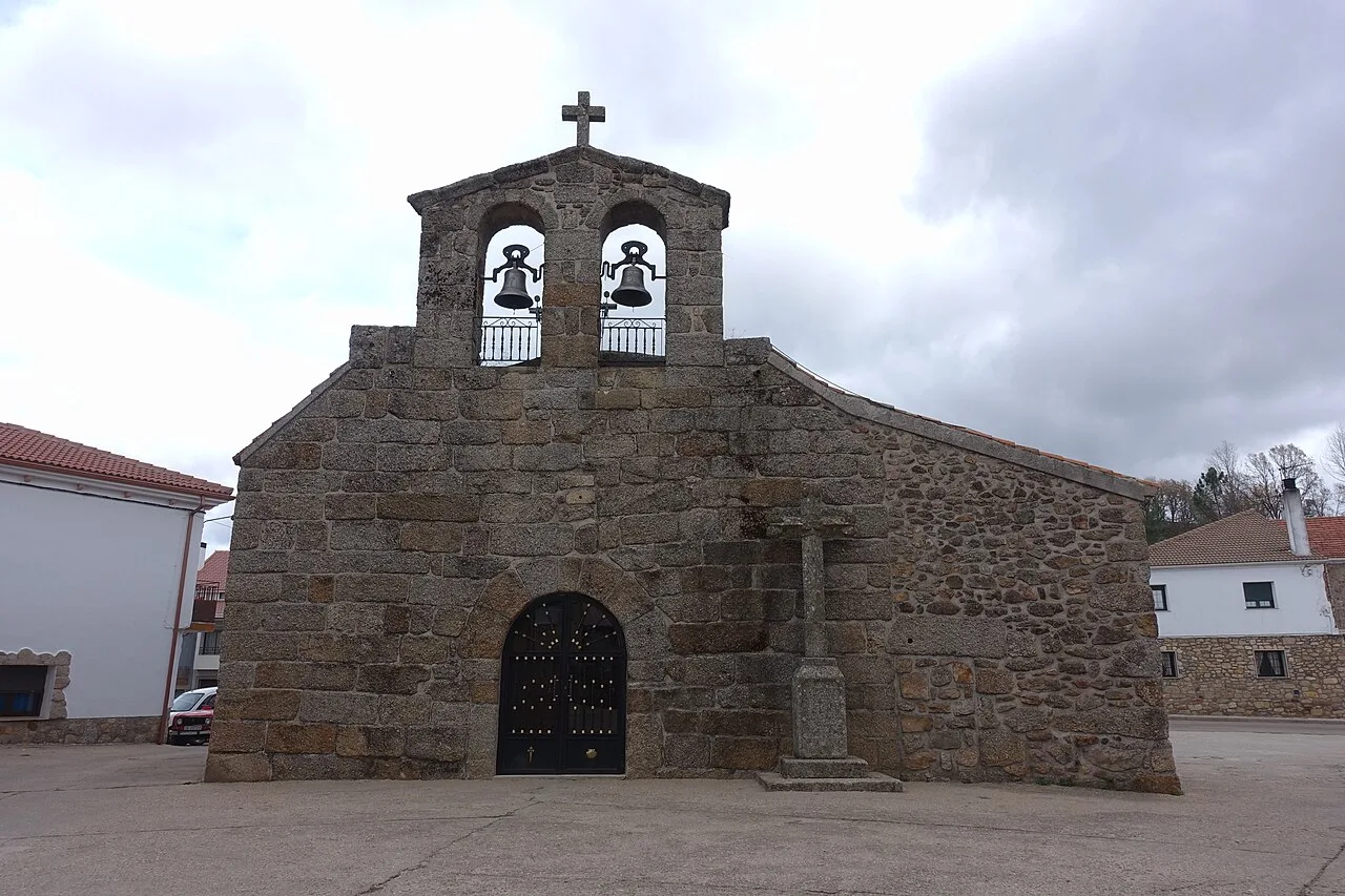
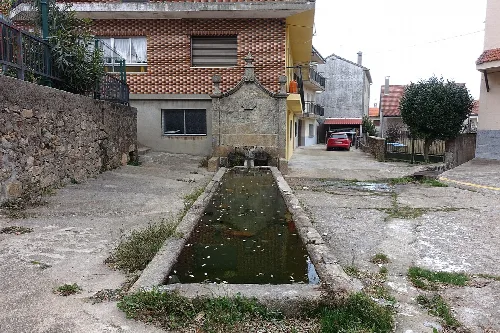
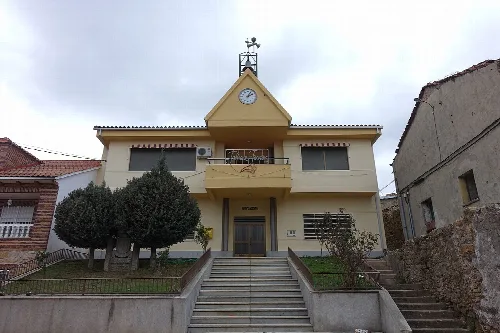
El Payo (Payu in Leonese) is a village and municipality in the province of Salamanca, western Spain, part of the autonomous community of Castile-Leon. It is located 135 kilometres (84 mi) from the provincial capital city of Salamanca and has a population of 37 people.
The municipality covers an area of 62 km2 (24 sq mi). It lies 934 metres (3,064 ft) above sea level and the postal code is 37524.
Text based on Wikipedia · El Payo · Data: Wikidata Q1646351 · Photos: Wikimedia Commons, see individual licenses. · CC BY-SA 4.0