espana.net
 Hovallef, CC BY-SA 4.0
Castile and León
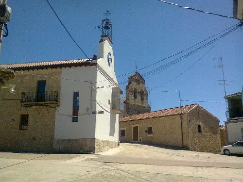
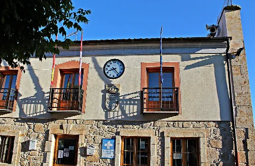
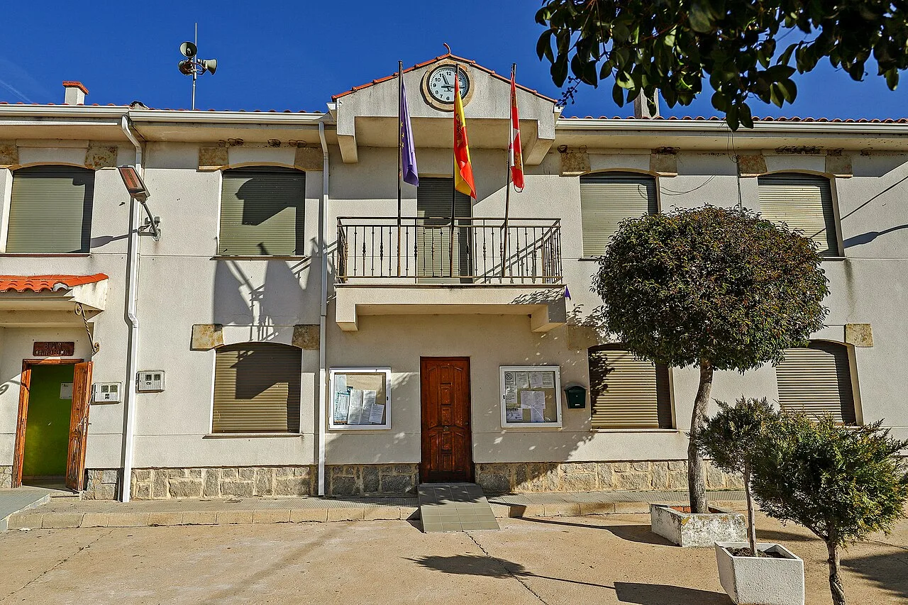
Galindo y Perahuy is a municipality located in the province of Salamanca, within the autonomous community of Castile and León. Characterized by its rich history and megalithic monuments, it encompasses several localities and offers a glimpse into traditional rural life.
Galindo y Perahuy lies in the eastern part of the Campo de Salamanca, characterized by a central peneplain. The municipality is traversed by the arroyo de la Valmuza and its left tributary, the regato de la Ribera, which flows northward through the area. The elevation varies from 790 meters near the stream to 843 meters in the southern parts, with the village itself situated at 797 meters above sea level.
The history of Galindo y Perahuy is marked by early human settlement, evidenced by megalithic monuments dating back to 3000-1500 BC. The area saw repopulation in the early 12th century, integrating into the Kingdom of León, with names reflecting its Galician roots. The municipality's current population centers were documented as early as the 1591 census, indicating a long-standing community.
Explore Galindo y Perahuy, a historic municipality in Salamanca, known for its megalithic sites and vibrant local culture.
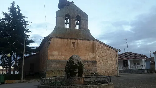
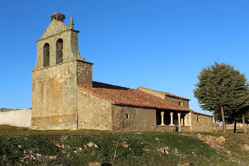
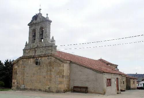
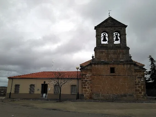
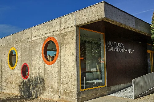
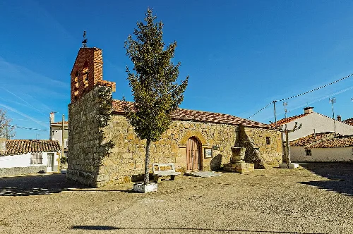
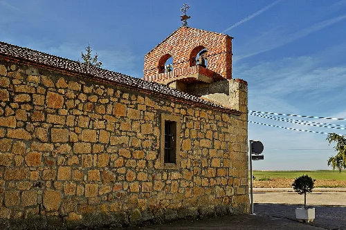
The municipality hosts various cultural activities and facilities, including a non-federated football team and a municipal swimming pool. Notable events include a celebration on December 12 for Santa Lucía, and a carnival gathering with traditional food. Visitors can explore the parish church of Santo Tomás Apóstol, which houses a Romanesque baptismal font from the 11th century.
Own text, written with AI assistance from the facts in Wikipedia · Galindo y Perahuy · Data: Wikidata Q1777817 · Photos: Wikimedia Commons, see individual licenses. · CC BY-SA 4.0