espana.net

 Malopez 21, CC BY-SA 4.0
Castile and León
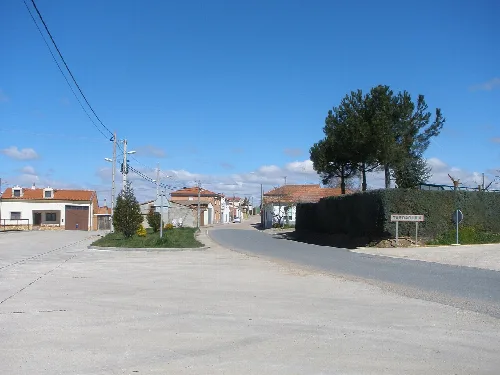
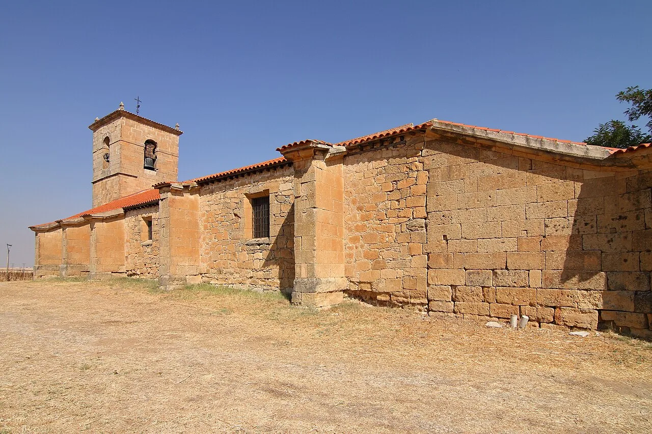
Pedrosillo el Ralo is a municipality located in the province of Salamanca, within the autonomous community of Castile and León. Characterized by its agricultural economy and historical heritage, it is part of the La Armuña comarca and has a small population.
Situated in the La Armuña comarca, Pedrosillo el Ralo is approximately 15 km from Salamanca city. The municipality is traversed by the Autovía de Castilla A-62 and the N-620 road, which connects Burgos to Portugal. The terrain is predominantly flat, with elevations ranging from 816 to 829 meters above sea level.
Own text, written with AI assistance from the facts in Wikipedia · Pedrosillo el Ralo · Data: Wikidata Q1768227 · Photos: Wikimedia Commons, see individual licenses. · CC BY-SA 4.0