What can you tell me about the Iglesia de San Pedro Ad Vincula?
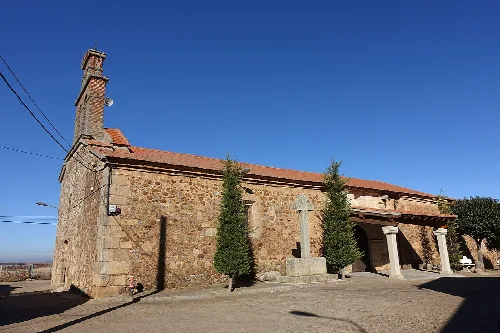
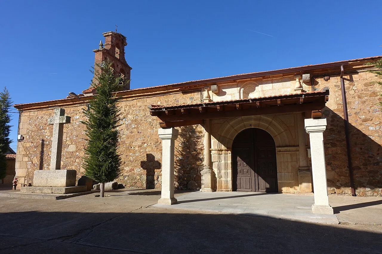
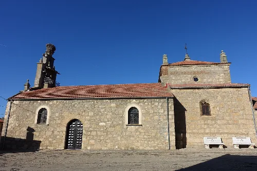
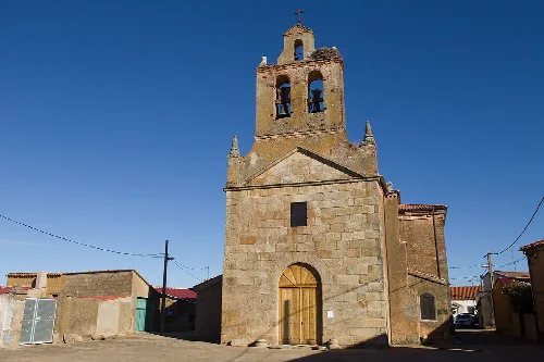
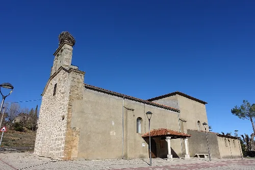
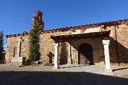
The Iglesia de San Pedro Ad Vincula in Sepulcro-Hilario features two naves, with the central nave being more spacious. It is supported by six arches and octagonal columns. The main altar showcases a beautiful 17th-century polychrome wooden image of Saint Peter, along with other significant artistic elements. The church is a key part of the local heritage and belongs to the Diocese of Ciudad Rodrigo.
Sights
Iglesia de San Pedro Ad Vincula
What are the main agricultural products of Sepulcro-Hilario?
Sepulcro-Hilario is primarily an agricultural and livestock community. The land, while not of the highest quality, is quite fertile, producing various crops. The region is known for its red clay, which is used for making tiles and bricks. This clay has historically supported local ceramics, although the production has diminished over time.
Nature
For residents
What historical events led to the naming of Sepulcro-Hilario?
The name Sepulcro-Hilario originates from the discovery of a tomb belonging to a figure named Hilario, who allegedly led Christian troops in battle against Muslims. The name change from its previous designation, Colmenar Viejo, reflects this significant historical event. The area has a rich history tied to the repopulation efforts during the Middle Ages.
History
What is the significance of Las Barrizas in Sepulcro-Hilario?
Las Barrizas is an emblematic area near Sepulcro-Hilario, known for its steep slopes rich in red clay. This natural feature has created beautiful landscapes with deep ravines and depressions. Historically, it has been a favored spot for children's play and is also significant for its clay, used in local construction and crafts.
Nature
Las Barrizas For residents
What festivals are celebrated in Sepulcro-Hilario?
Sepulcro-Hilario celebrates several local festivals, with San Blas being the patron saint of the village. Another important celebration is Corpus Christi. These events reflect the community's cultural heritage and provide opportunities for residents to come together and celebrate their traditions.
Festivals & events
For residents
What does the town hall of Sepulcro-Hilario look like?
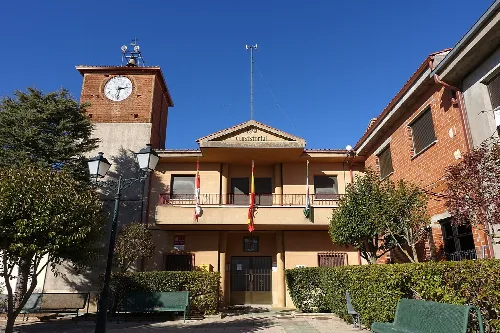
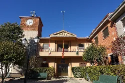
The town hall, or Casa consistorial, of Sepulcro-Hilario is a notable building characterized by its distinct architecture. It features a clock tower and is surrounded by well-maintained gardens. The building serves as a central administrative hub for the municipality and reflects the town's local governance.
Sights
Ayuntamiento de Sepulcro-Hilario
How has the population of Sepulcro-Hilario changed over the years?
Sepulcro-Hilario has experienced significant population decline over the years. From over a thousand residents in the past, the population has decreased to 153 as of 2025. This decline is attributed to various factors, including emigration and changes in agricultural practices that reduced the need for labor.
Living there
For residents
What can you tell me about the clay used in Sepulcro-Hilario?
The red clay found in Sepulcro-Hilario is notable for its quality and has been historically significant for local industries. It is used in making tiles and bricks, and its unique properties allow it to be mixed with other materials for various crafts. This clay is essential for local construction and has shaped the town's economic activities.
Nature
For residents
What are the geographical features of Sepulcro-Hilario?
Sepulcro-Hilario is situated in the Campo Charro region, characterized by its flat plains and agricultural land. The village is at an altitude of 832 meters and is surrounded by other municipalities, making it a part of a rich agricultural landscape. The area includes natural features such as Las Barrizas, which enhance its beauty.
Nature
What is the history behind the creation of the Diocese of Ciudad Rodrigo?
The Diocese of Ciudad Rodrigo was established by King Fernando II of León in the 12th century, coinciding with the repopulation efforts in the region. This historical context is crucial for understanding the development of Sepulcro-Hilario, as it became part of this ecclesiastical jurisdiction, influencing its cultural and religious identity.
History
 espana.net