espana.net
 Juan Pablo Zumel Arranz, CC BY-SA 4.0
Castile and León
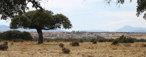
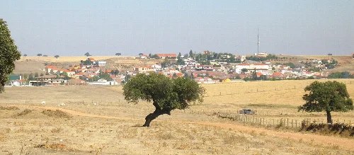
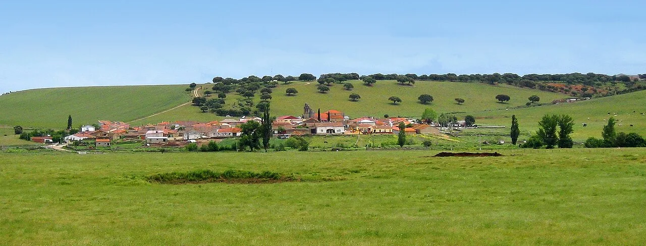
Villalba de los Llanos is a municipality located in the province of Salamanca, within the autonomous community of Castile and León. Characterized by its rural landscape and small population, it is known for its agricultural activities, particularly cattle farming.
Villalba de los Llanos is situated in the Campo de Salamanca region, characterized by its rural landscape and agricultural land. The municipality is traversed by the Negrillos stream, which is a tributary of the Río Huebra. This stream typically runs dry from July to September and has a length of 16.5 km from its source to its confluence.
The history of Villalba de los Llanos includes Roman vestiges and a medieval reconquest by Alfonso VI. Originally named Garcivelasco, it was repopulated in the 15th century and renamed Villalba. The area has connections to notable historical figures, including María la Brava, who played a significant role during the War of the Bands in Salamanca.
Villalba de los Llanos is a small municipality in Salamanca, known for its agricultural activities and historical significance.
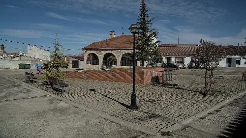
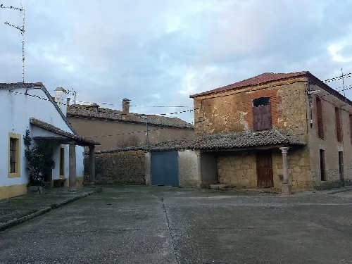
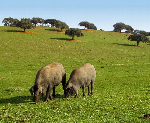
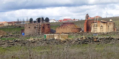
The economy of Villalba de los Llanos is primarily based on livestock farming, particularly the breeding of Morucha cattle and fighting bulls, as well as Iberian pigs. The urban area features predominantly single-family homes, typically one or two stories high, with tile roofs.
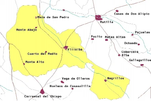
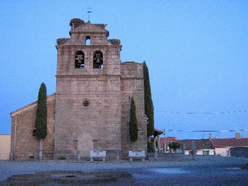
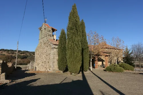
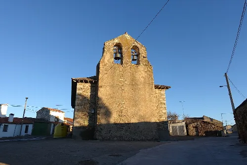
The most significant cultural site in Villalba de los Llanos is the Church of the Assumption, which features a Romanesque style. It houses the tomb of María la Brava, a notable historical figure from the area. The local festivities reflect traditional customs, including the celebration of San Juan and San Miguel Arcángel.
Own text, written with AI assistance from the facts in Wikipedia · Villalba de los Llanos · Data: Wikidata Q1905453 · Photos: Wikimedia Commons, see individual licenses. · CC BY-SA 4.0