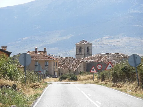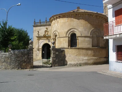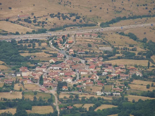
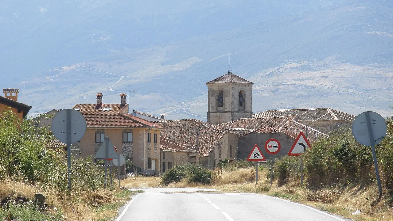
View of a village with church and houses from the road in Cerezo de Arriba. Elena F D, Public domain

Cerezo de Arriba

Castile and León

119Population
48.86 km²Area
1,129 mElevation
40592Postal code

Cerezo de Arriba is a municipality located in the province of Segovia, within the autonomous community of Castile and León. It is characterized by its mountainous terrain and proximity to the La Pinilla ski resort, making it a notable destination for outdoor activities.

02Geography

Cerezo de Arriba is part of the Community of Villa and Tierra of Sepúlveda, situated in the Ochavo de la Sierra. The municipality is crossed by the A-1 motorway and the N-110 national road, providing access to the area. The landscape is defined by the northern face of the Sierra de Ayllón, with elevations ranging from 1050 m to 2274 m, where the Pico del Lobo is located. Numerous streams flow down from the high peaks, contributing to the area's natural beauty.

Elevation range
1050 m to 2274 m
Main geographical features
Sierra de Ayllón, La Pinilla ski resort

03History

The origins of Cerezo de Arriba trace back to the descendants of Celtiberian tribes, with historical influences from Berber populations during the Muslim invasion. The first documented mention of the area dates to 1192, linked to the monastery of Santo Tomé del Puerto. Over the centuries, Cerezo de Arriba evolved through various administrative changes, including its elevation to villa status in 1564.

Cerezo de Arriba, a municipality in Segovia, features the La Pinilla ski resort and rich historical heritage.

04Attractions and Economy

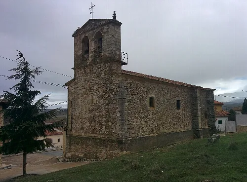
The economy of Cerezo de Arriba is largely supported by the La Pinilla ski resort, which provides employment opportunities for many residents. The municipality also boasts historical sites, including the Baroque tower of the San Juan Bautista church and the Ermita de Cerezuelo, which houses the image of the town's patron saint.
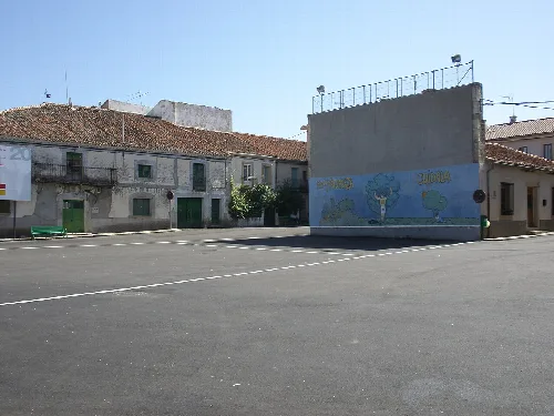
Square with mural in Cerezo de Arriba, Segovia.
The Plaza de la Constitución in Cerezo de Arriba, Segovia, with a mural on one wall.
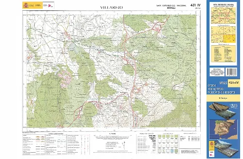
Topographic map of Villarejo in Cerezo de Arriba, Segovia, at 1:25000 scale.
Topographic map fragment of Villarejo in Cerezo de Arriba, Segovia, at 1:25000 scale.
Cerezo de Arriba · Data
Province
Segovia
Autonomous community
Castile and León
Population
119
Area
48.86 km²
Elevation
1,129 m
Postal code
40592
Website
http://www.cerezodearriba.es/
Coordinates
41.2378, -3.5575

Photos

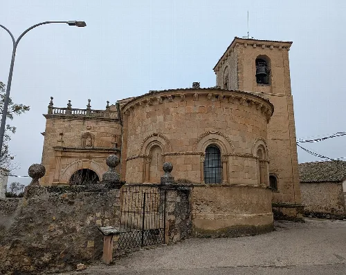
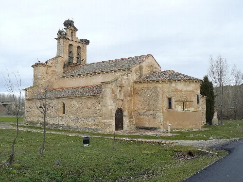
Church of San Juan Bautista with tower and stone facade in Cerezo de Arriba.
Church of San Juan Bautista in Cerezo de Arriba with its tower and stone facade.
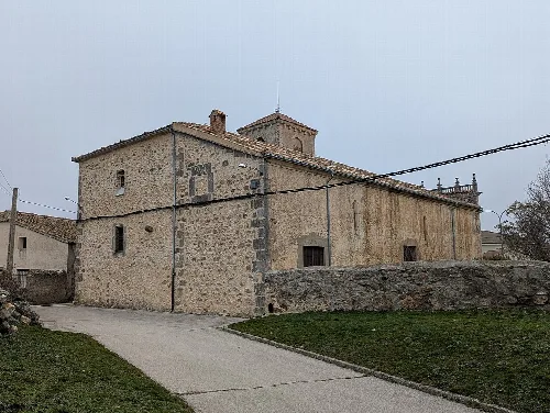
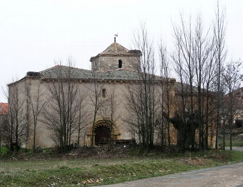
Stone church with bell tower in Cerezo de Arriba.
Church of San Juan Bautista in Cerezo de Arriba, with stone walls and a small bell tower.
View of a village with houses and a church, from the N-110 road in Cerezo de Arriba.
View of Cerezo de Arriba from the N-110, with houses and a church in the center of the village.
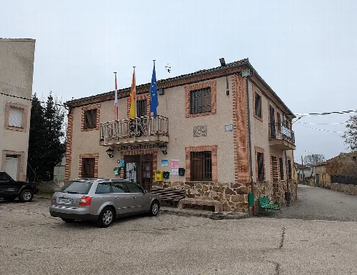
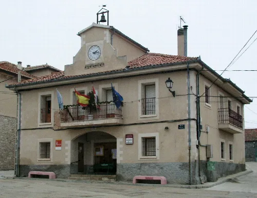
Town hall building with flags in Cerezo de Arriba.
Town hall building in Cerezo de Arriba with flags on the facade.
San Juan Church in Cerezo de Arriba, with stone walls and arched windows.
San Juan Church in Cerezo de Arriba, with its stone structure and arched windows.

Map

Nearby

Iglesia in the small village of Sotillo, near Sepúlveda, Spain.

The picture was taken the 28th December 2003 by Håkan Svensson, (Xauxa).
Sotillo
Segovia · 31 inhabitants
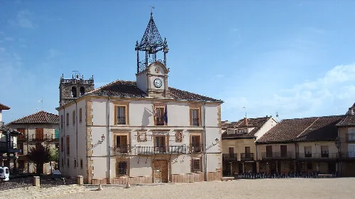
Building with clock and bell tower in Riaza's main square.
Riaza
Segovia · 2,128 inhabitants
Ayuntamiento in the small village of Duruelo, near Sepúlveda, Spain. The picture was taken the 28th December 2003 by Håkan Svensson, (Xauxa).
Duruelo
Segovia · 172 inhabitants

Own text, written with AI assistance from the facts in Wikipedia · Cerezo de Arriba · Data: Wikidata Q1905563 · Photos: Wikimedia Commons, see individual licenses. · CC BY-SA 4.0