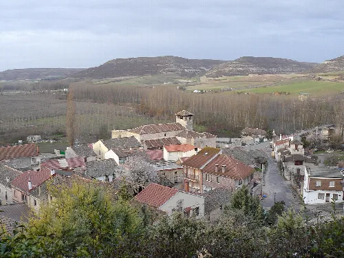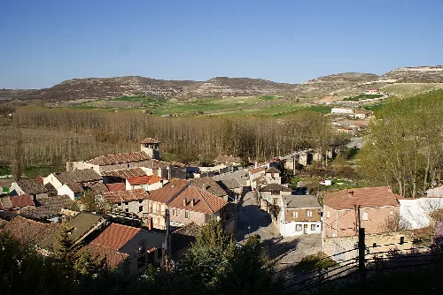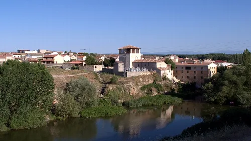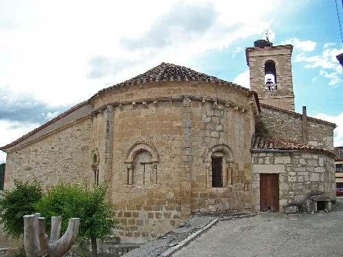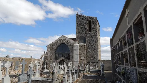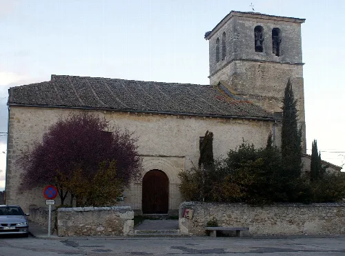
Houses and a historic building in Fuentidueña, Segovia, surrounded by greenery. manuel m. v., CC BY 2.0

Fuentidueña

Castile and León

125Population
50.55 km²Area
862 mElevation
40357Postal code

Fuentidueña is a municipality located in the province of Segovia, within the autonomous community of Castile and León. Nestled in a narrow valley formed by the Duratón River, it boasts a rich historical significance dating back to the Middle Ages.

02Geography

Fuentidueña is positioned in the northern part of Segovia province, characterized by its elevation of 862 meters. The municipality spans an area of 50.55 km² and is situated in the central region of the Iberian Peninsula, which contributes to its unique climate and geographical features.

Average annual temperature
11.50 °C
Annual precipitation
514.10 mm
Dry season
Summer
Köppen climate classification
Csb (oceanic Mediterranean)

03History

The settlement of Fuentidueña originally developed around a castle and the Church of San Martín, gradually moving towards the riverbank. This area was significant during the Middle Ages, evidenced by the existence of a bridge and the Romanesque Church of Santa María.

Fuentidueña is a historic municipality in Segovia, known for its medieval heritage and unique geographical setting.

04Heritage

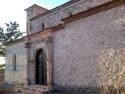
Fuentidueña's historical significance is reflected in its well-preserved architecture and archaeological sites. The entire village is recognized as a cultural heritage site, showcasing a variety of important historical structures.
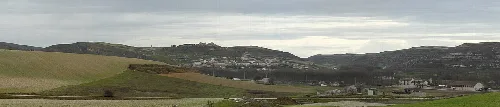
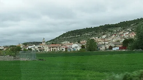
Landscape with hills and a distant town from the road.
Panoramic view of Fuentidueña from the Pecharromán road in Segovia.
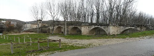
Stone bridge with arches in Fuentidueña, Segovia.
18th-century medieval bridge in Fuentidueña with stone arches over a river and bare trees in the background.
Fuentidueña · Data
Province
Segovia
Autonomous community
Castile and León
Population
125
Area
50.55 km²
Elevation
862 m
Postal code
40357
Website
http://www.fuentiduena.es/
Coordinates
41.4422, -3.9800

Photos

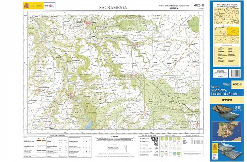
Topographic map of Sacramenia in Segovia with roads and rivers.
Topographic map fragment of Sacramenia in Segovia province, showing roads and rivers.
Panoramic view of houses and church in Fuentidueña, Segovia.
View of houses and Santa María la Mayor church in Fuentidueña, Segovia, with hills in the background.
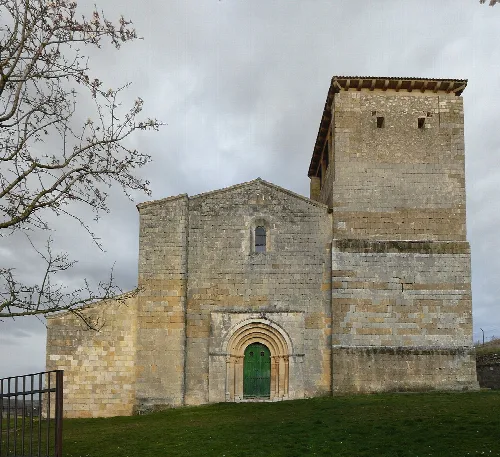
Church of San Miguel with tower and arch doorway in Fuentidueña.
Church of San Miguel in Fuentidueña, featuring a tower and a rounded arch doorway.
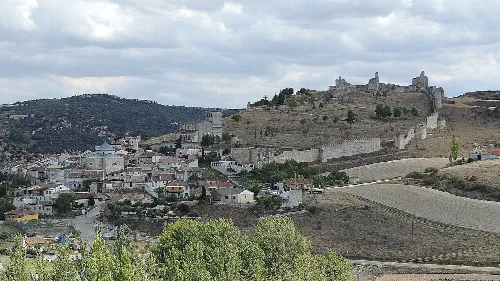
Landscape with castle on hill and houses in Fuentidueña, Segovia.
Panoramic view of Fuentidueña with its castle on the hill and traditional houses in the village.
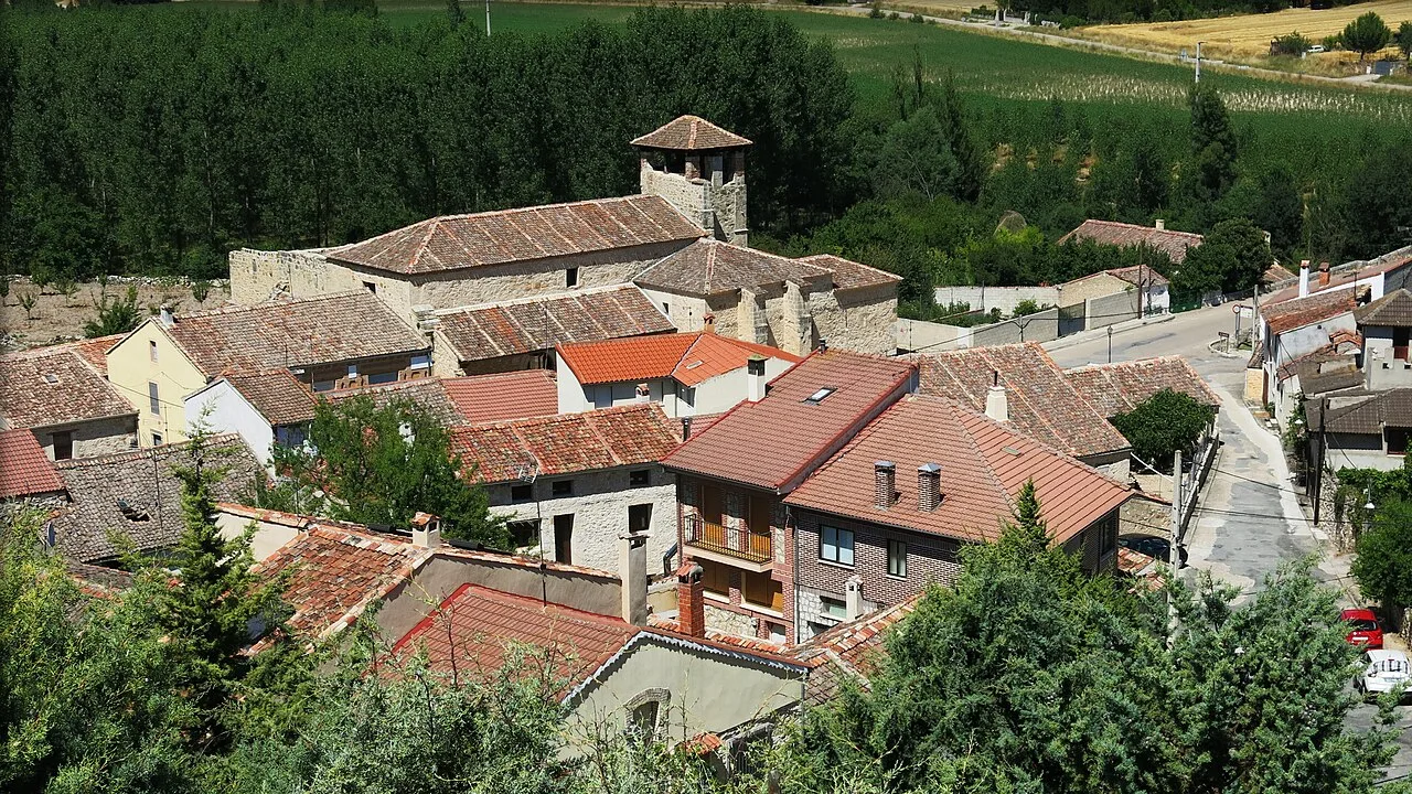
View of houses and hills in Fuentidueña, Segovia, Spain.
Partial view of Fuentidueña and outskirts in Segovia, with hills and houses in the foreground.

Map

Nearby

Own text, written with AI assistance from the facts in Wikipedia · Fuentidueña · Data: Wikidata Q1919353 · Photos: Wikimedia Commons, see individual licenses. · CC BY-SA 4.0