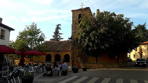
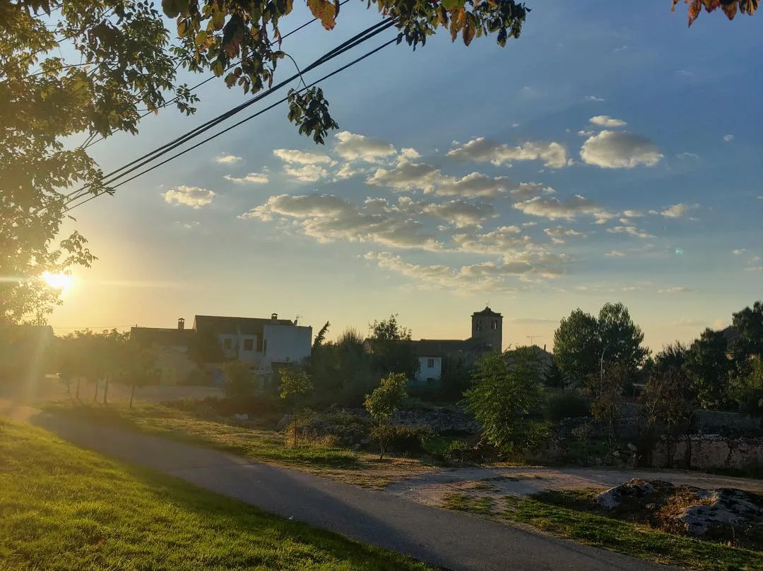
Landscape of La Losa with houses, trees, and a sky with scattered clouds at sunset. Arturo Francisco Barbero, CC BY-SA 4.0

La Losa

Castile and León

543Population
28 km²Area
1,086 mElevation
40420Postal code

La Losa is a municipality located in the province of Segovia, within the autonomous community of Castile and León. Nestled at the foot of La Mujer Muerta in the Sierra de Guadarrama, it is characterized by its rich history and agricultural economy.

02Geography

La Losa covers an area of 28 square kilometers and sits at an elevation of 1086 meters above sea level. The municipality is situated approximately 13 kilometers southwest of the capital city of Segovia. It features two streams, Madrones and Matavacas, contributing to its natural landscape.

Natural park
Sierra Norte de Guadarrama
Nearby mountains
La Mujer Muerta

03History

The origins of La Losa date back to medieval times, with its first mention as La Lausa in 967. The area gained significance in 1515 with the establishment of a shearing house by the Marquesado de Santiago, capitalizing on the transhumant sheep herding routes.

Discover La Losa, a municipality in Segovia known for its history, agriculture, and cultural festivals.

04Cultural Heritage

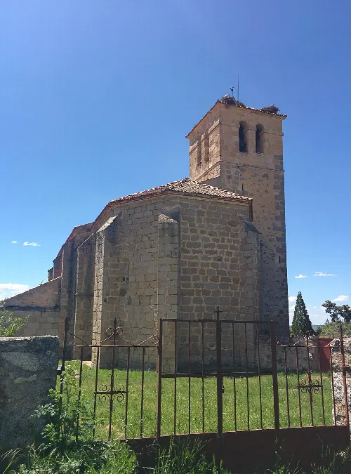
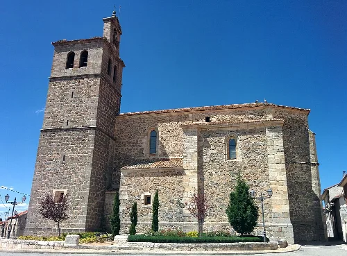
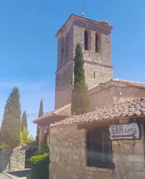
La Losa is home to several notable monuments, including the 15th-century Gothic church of San Juan Evangelista, recognized as a Bien de Interés Cultural since 1995. Other significant sites include various hermitages and natural landmarks.
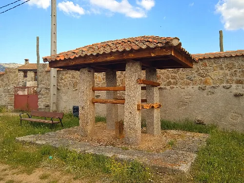
Stone horseshoeing stand with tiled roof in La Losa.
Horseshoeing stand in La Losa, made of stone with a tiled roof.
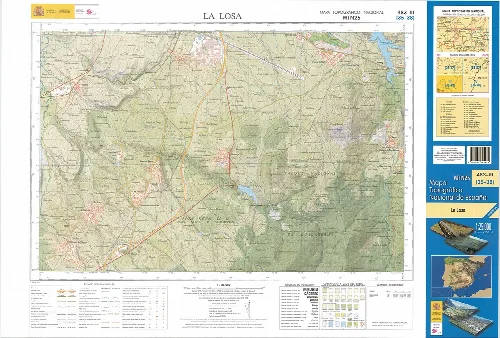
Topographic map of La Losa with roads and rivers.
Topographic map fragment of La Losa in Segovia, showing roads, rivers, and elevations.
La Losa · Data
Province
Segovia
Autonomous community
Castile and León
Population
543
Area
28 km²
Elevation
1,086 m
Postal code
40420
Website
http://www.lalosa.es/
Coordinates
40.8544, -4.1631

Photos

San Juan Evangelist Church in La Losa, Segovia, with tower and stone walls.
San Juan Evangelist Church in La Losa with its tower and stone walls under a blue sky.
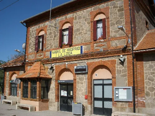
Station building with windows and sign in Navas de Riofrío-La Losa.
Navas de Riofrío-La Losa station building in Segovia, with windows with shutters and a yellow sign.
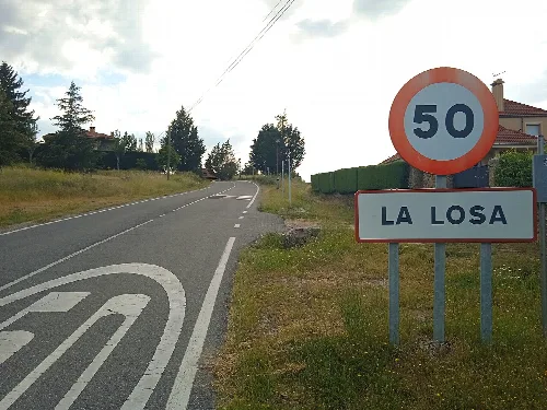
Speed limit sign of 50 km/h and a sign with La Losa's name at the town entrance.
Entrance to the urbanized area of La Losa from Las Navillas via road SG-V-7212.
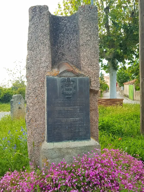
Stone plaque with inscription and coat of arms, surrounded by pink flowers and trees.
Plaque certifying La Losa's belonging to the Community of City and Land of Segovia in the Sexmo of San Millán.
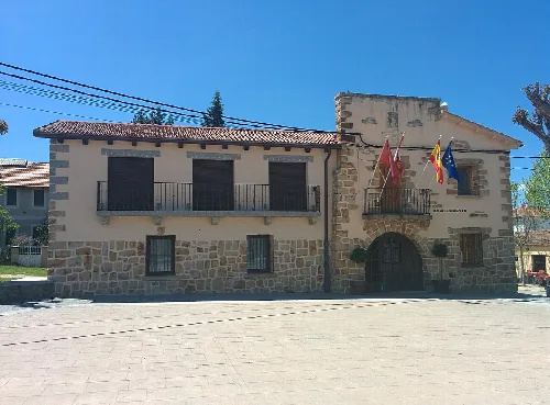
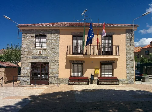
Town hall with flags and stone and brick facade in La Losa.
Town hall building of La Losa with flags on the facade in Segovia, Spain.

Map

Nearby

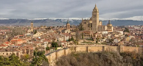
Panoramic view of Segovia with the cathedral and alcázar.
Segovia
Segovia · 52,375 inhabitants
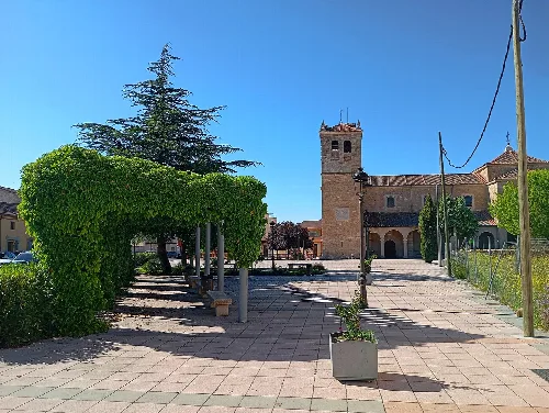
Square with trees, clock, and historic building in Abades, Segovia.
Abades
Segovia · 849 inhabitants

Own text, written with AI assistance from the facts in Wikipedia · La Losa · Data: Wikidata Q2249245 · Photos: Wikimedia Commons, see individual licenses. · CC BY-SA 4.0